Yorkshire Dales
Yorkshire Dales is a national park in the United Kingdom located over an area of 1,770 square kilometers between the Lake District and the North Yorkshire heathlands. This region of hills, heathland and valleys is a wonderful place for cycling and walking.
Highlights
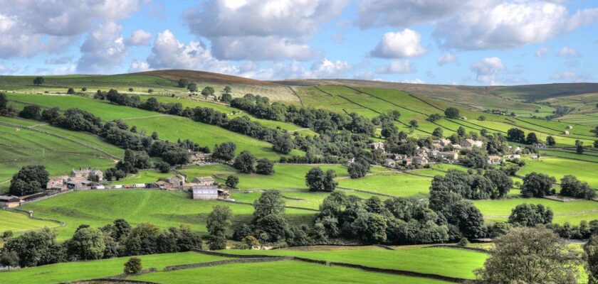
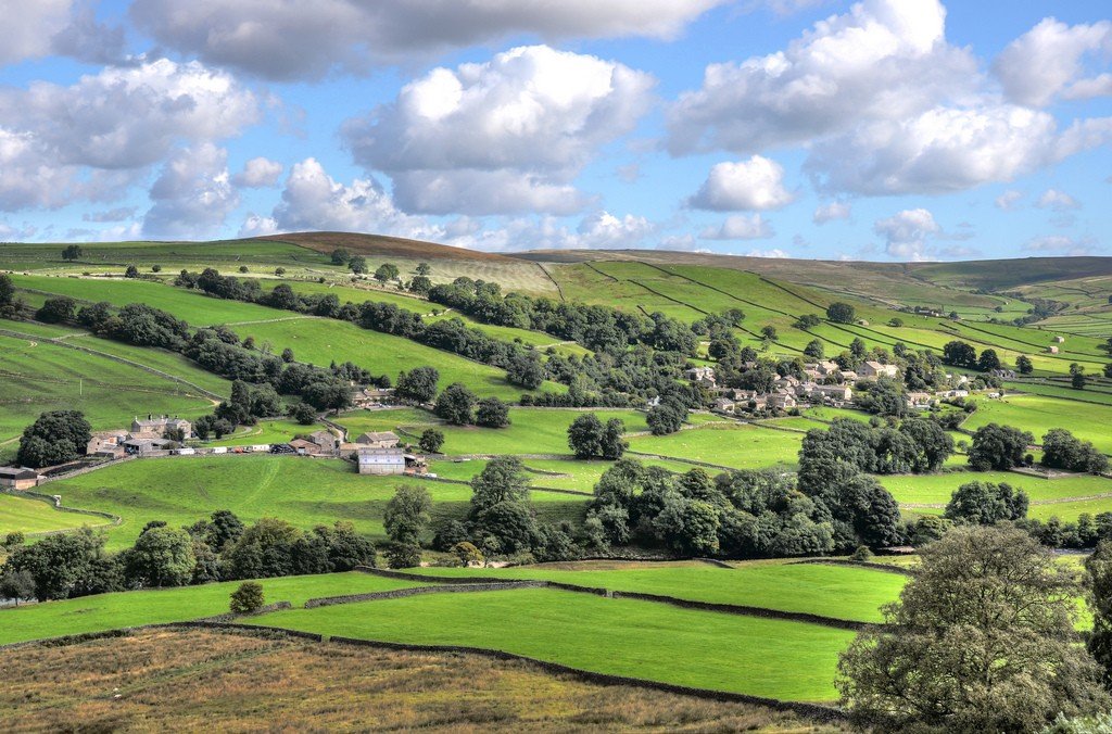
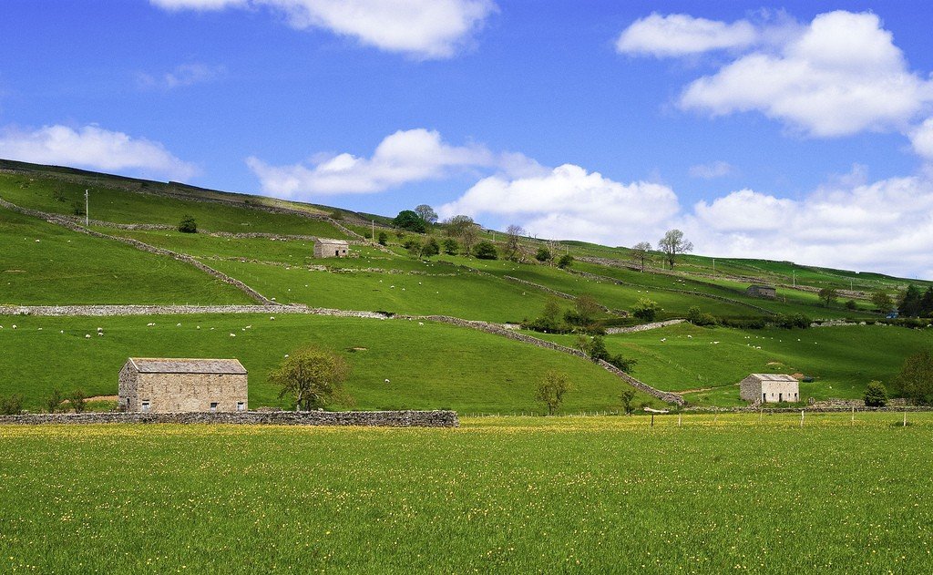
Wensleydale and Swaildale are the two main east and west valleys in the northern part of the park, and south Ribblesdale and Wharfedale are the two main north and south valleys. Hawes is perhaps the best starting point for exploring the northern valleys. You can visit a dairy farm in Wensleydale and learn about the production of the world famous cheese. Nearby is the UK’s highest waterfall, Hardrow Force. Grassington is a wonderful place from which to explore Warfedale, a classic landscape of green meadows, with dry-stone masonry houses.
.Those who wish can explore the valleys by car or take a ride on the local rail line. The journey is unforgettable, you can buy special tickets and get off briefly at each station and then ride on. We suggest getting off at Dent station, one of the highest in the country, and walking down to the fabulous valley below.
.Wharfdale
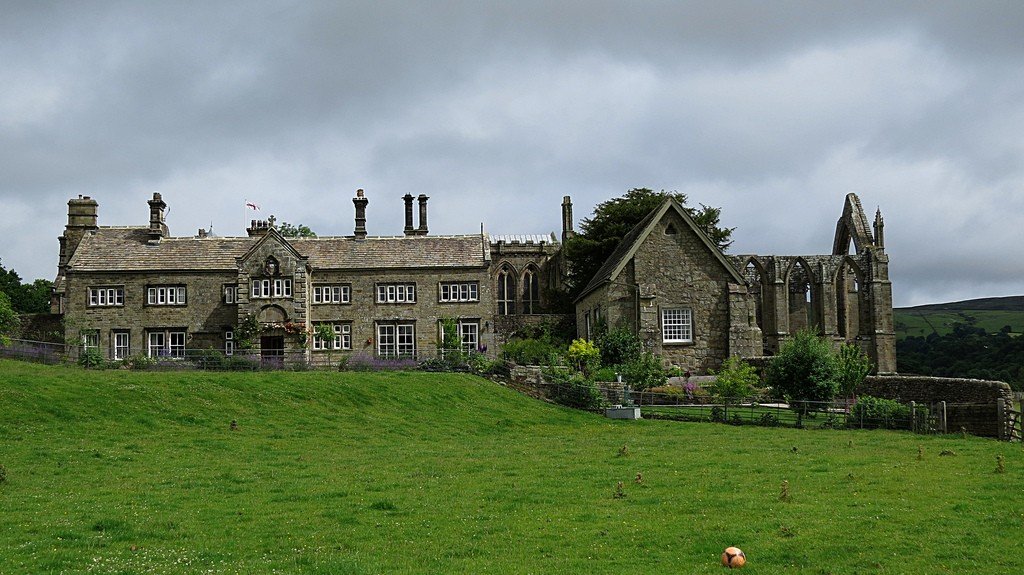
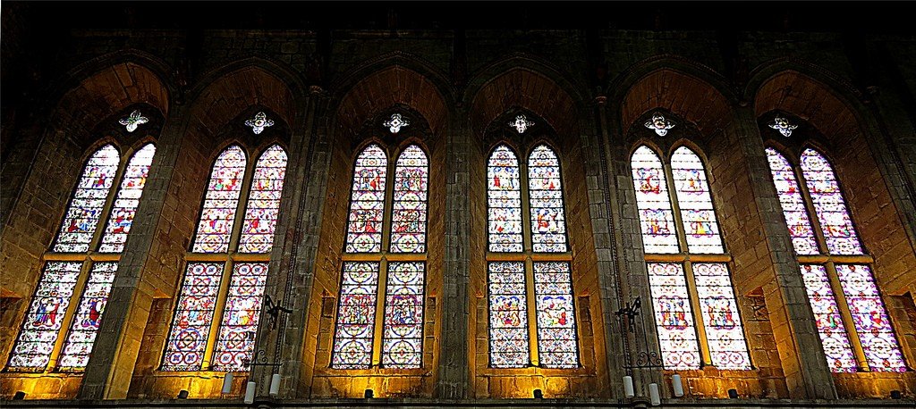
The Wharfdale Valley stretches northwest from the lower edge of Yorkshire. The village of Bolton Abbey stands at the entrance to the national park. Bolton Priory was built in the mid-12th century.The large east window is still framed by high arches, and the nave is used as a parish church. 3 km to the north, at a place called the Stride, the River Wharf foams through rapids. Many have drowned trying to jump the stream here.
.The B6160 road follows Wharfdale north to Grassington (for information: Yorkshire Valleys National Park Information Centre, Colwen, Hebden Road, 01756-752774, closed Fri-Fri), the main village of the valley. The Upper Wharfdale Museum (tel 01756-751690, open seasonally), located here, gives an insight into the history of the area. A short road heads north along Lithgondale, and after 6.5km you reach Arncliffe, where the Falcon Inn (Faucon Inn) serves fine beer.
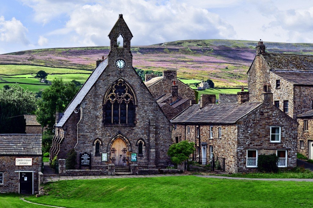
.Returning to Wharfdale, the B6160 road passes the pretty villages of Kettlewell and Buckden to reach Hubberholme, with the George Inn, a humpback bridge and a church with unusual choirs.
.Nidderdale and the surrounding area
Outside the national park is the village of Ripley. It was rebuilt in the French Gothic style in the 1820s by a descendant of the Ingleby family, who had lived at Ripley Castle for seven centuries (28 generations). In the churchyard stands an amazing ‘knee cross’, with indentations rubbed by the knees of those praying. North-west is the Nidderdeep Valley, slightly altered by reservoirs but still beautiful.
.To the right of the main road leaves the B6265. This takes you to the picturesque Brimham Cliffs, halfway to Fountain Abbey (NPS), set in a beautiful wooded valley.
.The abbey was founded in 1132 by the Benedictines, before being taken over by the Cistercians 3 years later. The refectory, infirmary, abbot’s house, cells, gallery, chapter hall and a gigantic cellar with a vaulted ceiling 90 meters long are still preserved. In 1720 the land and ruins were acquired by John Aislabie. Together with his son William, he created the Stadley Royale Aquatic Garden and a beautiful park of 320 hectares, with landscaping elements such as grottos, cascades, temples, lakes, pavilions and deer parks.
.3 km to the east, in Ripon (for inquiries: Minster Road, tel 01423-537300), stands the Norman cathedral of St Peter and St Wilfrid. It is built over a 7th-century Saxon crypt. The west façade with its twin towers is very beautiful.
.Sixteen kilometers to the northwest is Masham. On a tour of the Texton Brewery you will taste strong light beers and the famous Old Peculier ale (“Old Special”), dark as molasses and very strong.
.Wensleydale
The A6018 and A684 roads head west along the River Ure into the Wensleydale Valley, famous for its cheeses and the beauty of the countryside.
.Swaledale
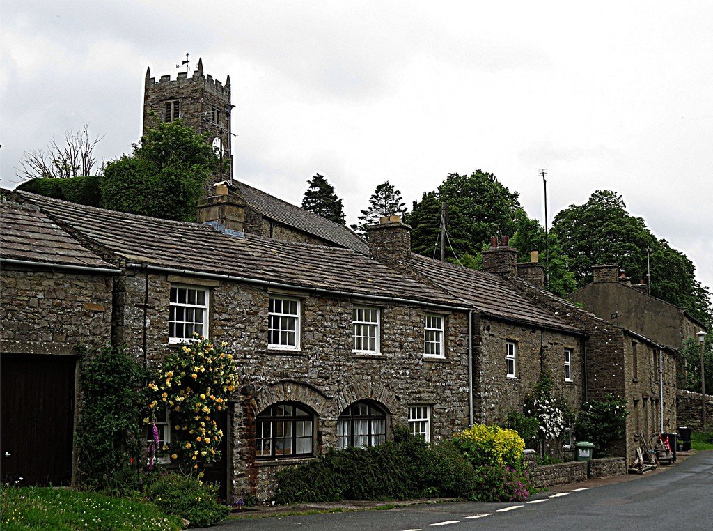
To the north lies Swaledale, the most stony of Yorkshire’s valleys (with the exception of Arkengarthdale in the northwest). Here are the villages of Keld, Tuite, Mewker and Gunnerside. At the eastern end of the valley, the mighty Norman Richmond Castle stands on a cliff (for references: the gardens of the priory, Victoria Road, tel 01748-850252). Its donjon reaches a height of 30 meters and the walls are over 3 meters thick. Located in the castle, Scollands Hall, built in 1080, is possibly Britain’s oldest living accommodation.
.Richmond has the largest market square in the country, with ancient narrow streets diverging from it.
.