Struve Geodetic Arc
The attraction is related to the countries:BelarusBelarus , NorwaySwedenFinlandRussiaEstoniaLatviaLithuaniaUkraineMoldova (Moldavia)Struve Arc is a unique monument of science and technology located on the territory of ten European countries at once. The Arc is a chain of old triangulation points stretching for 2820 km, which makes it the longest monument in the world.
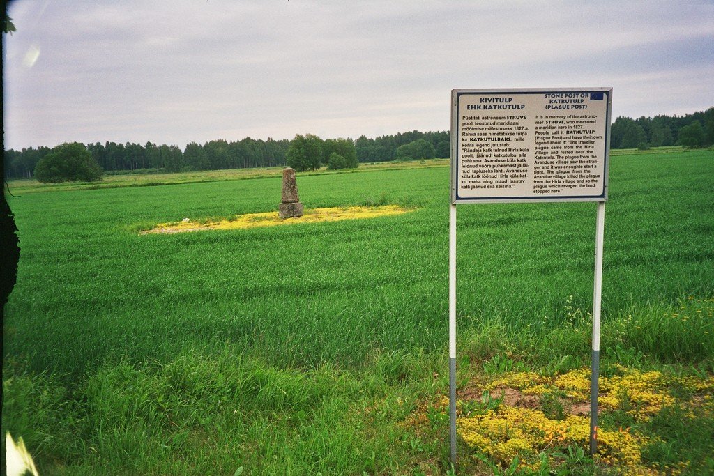
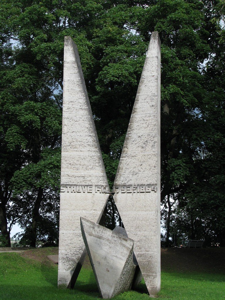

Traveling through Dougie Struve’s points is well combined with exciting outdoor recreation. For example, you can stay for the night in a rural manor house. And it will become an unforgettable romantic adventure. In Shchuchinsky district, in the village of Obrub (not far from the geodesic point Lopaty) you will be welcomed by hospitable hosts of the manor “Swan”. In addition to a cozy room and delicious dinner, especially for travelers – Russian bath on the shore of the lake, two swimming pools, billiards, table tennis. Another estate “Lebedi” is located in the village of Degtyary (Shchuchinsky district). Old manors, forests, rivers and lakes surround the manor. Here, among the wildlife you can freely meet a beaver or a fox, and a night in a real village house will remind you of sincere Belarusian hospitality for a long time.
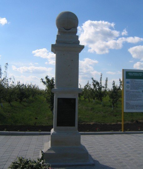
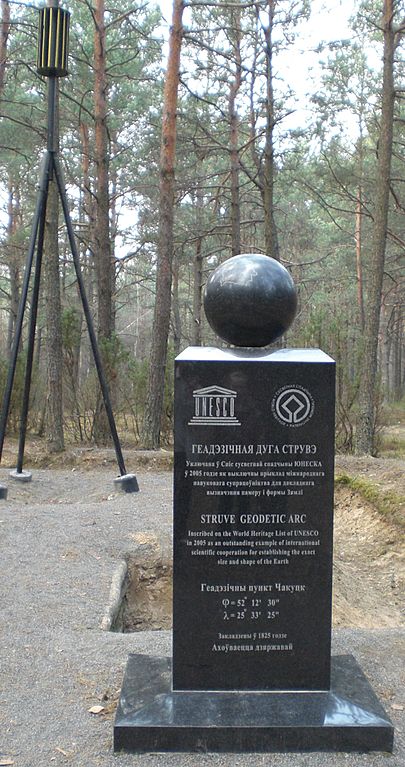
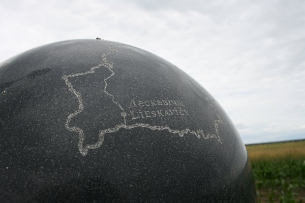
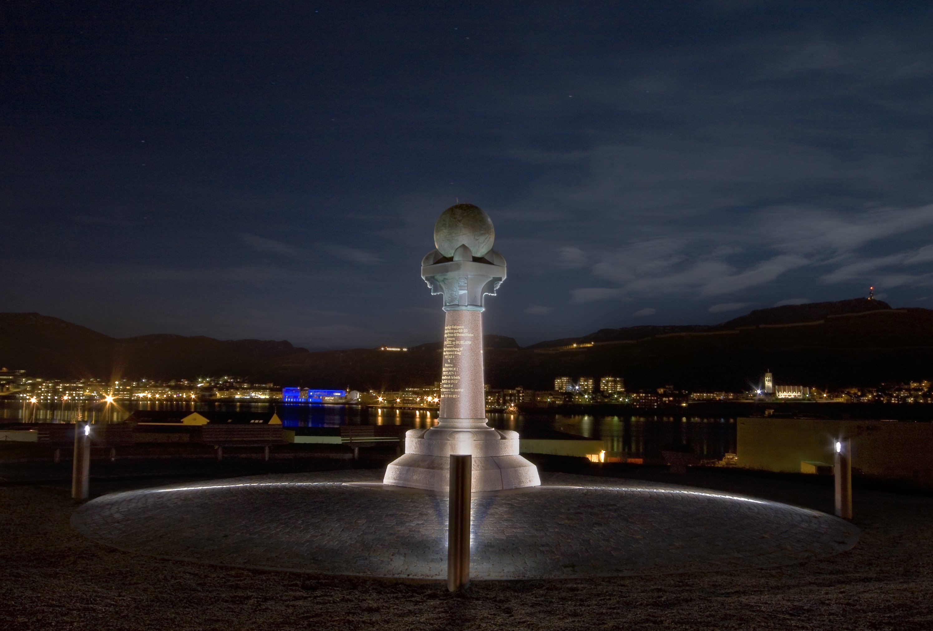
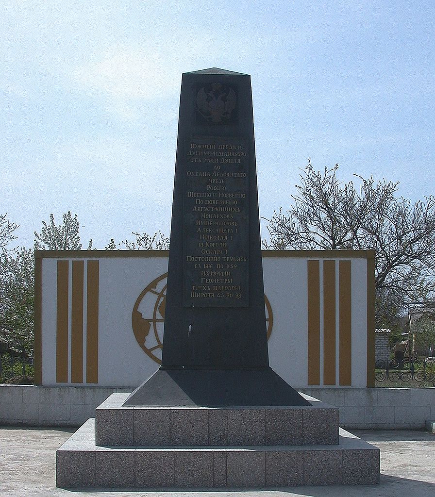
In Belarus, the Arc has been immortalized by several monuments. So, about the point near the place Chekutsk speaks a black stele about 1.5 meters high, topped with a 100-kilogram “earth” ball with the contour of Belarus. The line of the Struve Arc with the mark in Belarusian “Chakutsk” passes through it. The same steles with the inscriptions “Lyaskovichy” and “Asaunschy” can be found near the villages of the same name. The geodetic measurement point in Chekutsk is particularly interesting. It was opened only a few years ago. A cube with a cross-shaped measuring point, dated 1825, was resting in the ground, at a depth of about a meter. By the way, scientists claim that despite temporary changes in the terrain, the difference between modern and ancient meridian measurements was less than 3.5 cm.
.