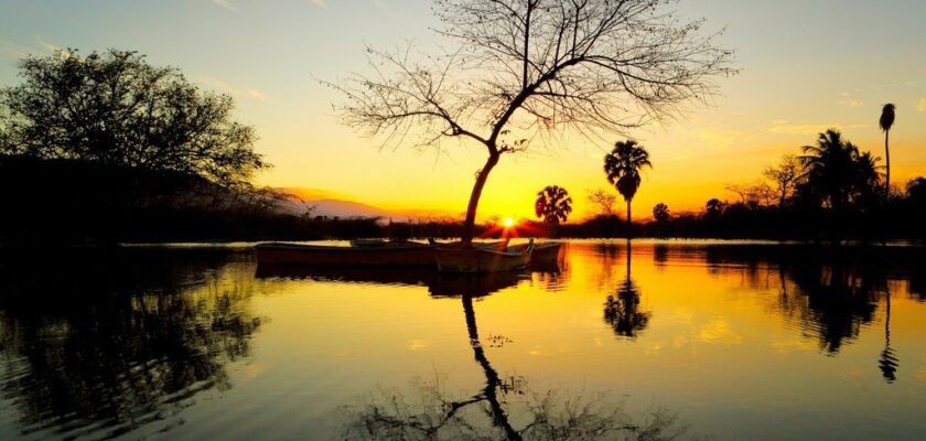
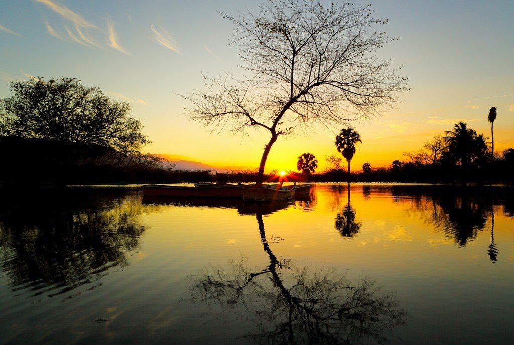
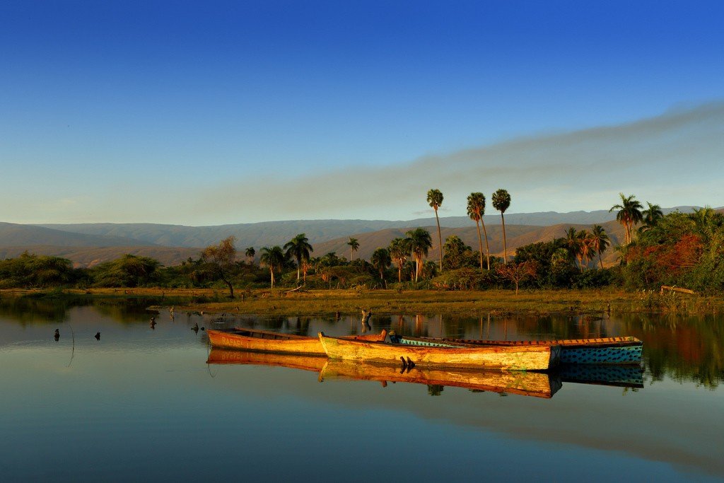
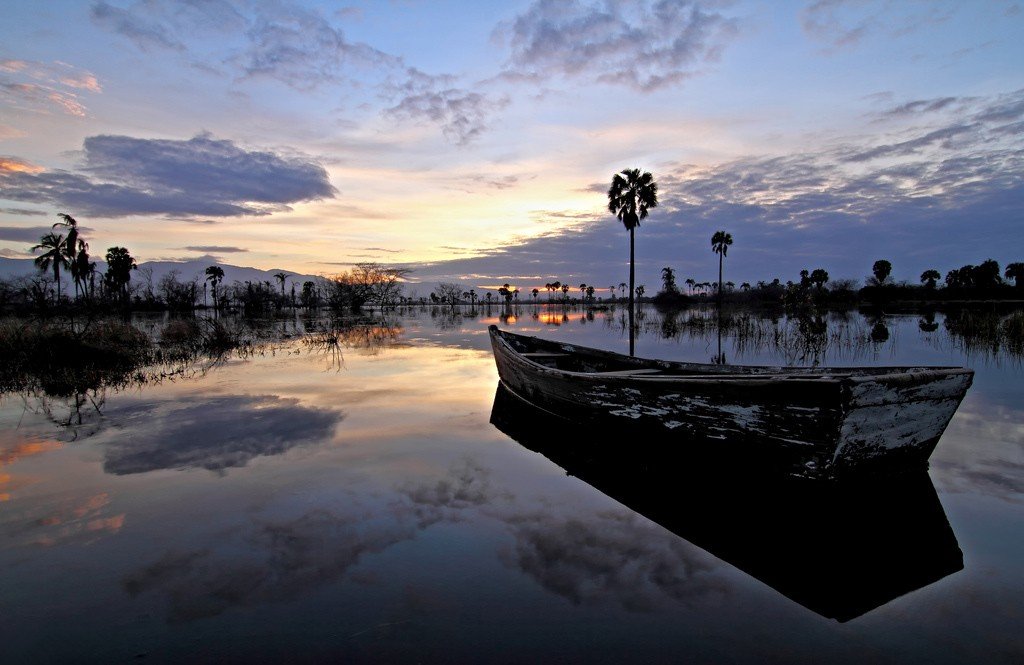
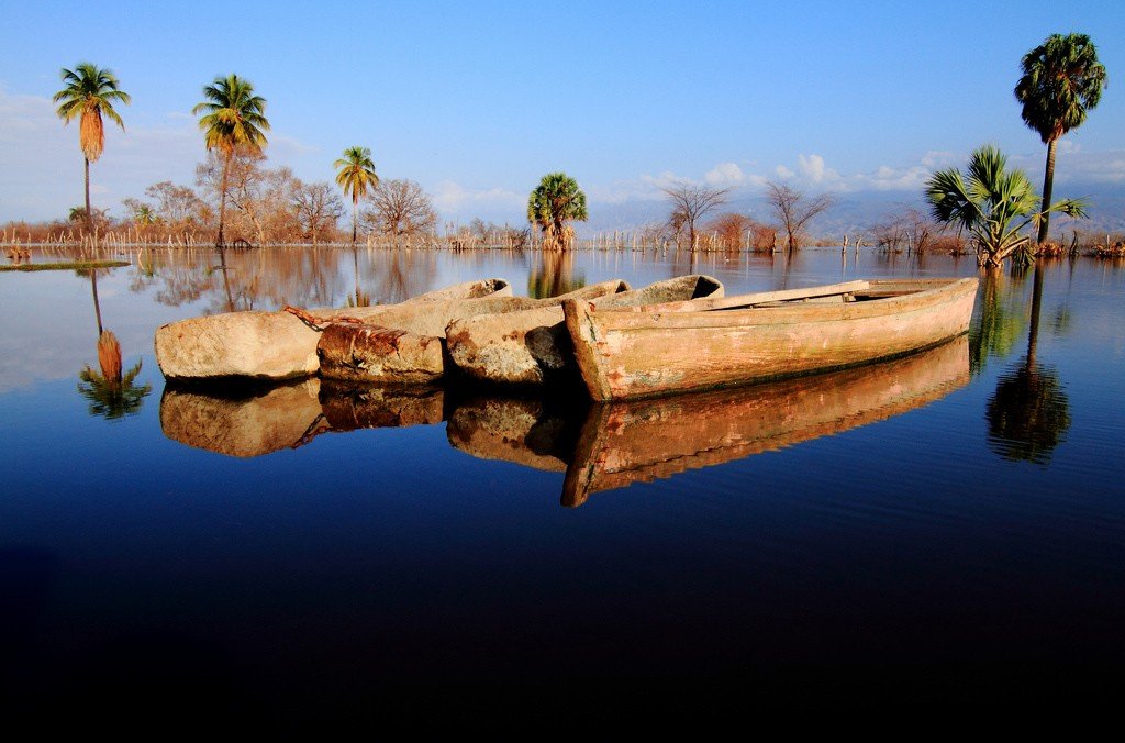
Lake Enriquillo
The valley that stretches between Sierra de Neiba in the north and Sierra Baoruco in the south serves as a haven for Lake Enriquillo and Cabritos National Park. The area has been recognized as a protected area for decades, not only to protect the lowest point in the Caribbean, 44 meters below sea level, but also to protect endangered animal species as well as historical sites. The park consists of the island for which it is named, Lake Enriquillo and the surrounding coastline.
General Information
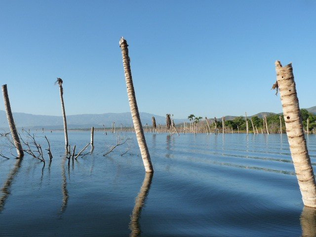
Lake Enriquillo was once a channel connecting Port-au-Prince and Baía de Neiba, but it became shallow after the mixing of the continental plateau. The result is a salt lake that is fed by rivers flowing from the mountain steeps. The park is located just 42 kilometers from Haiti.
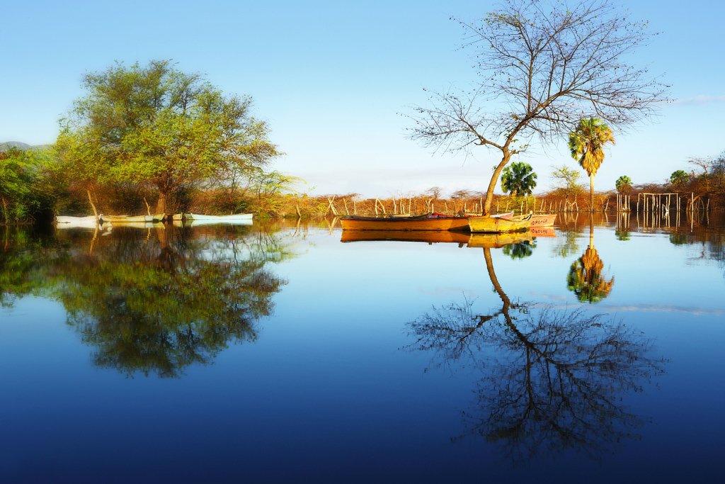
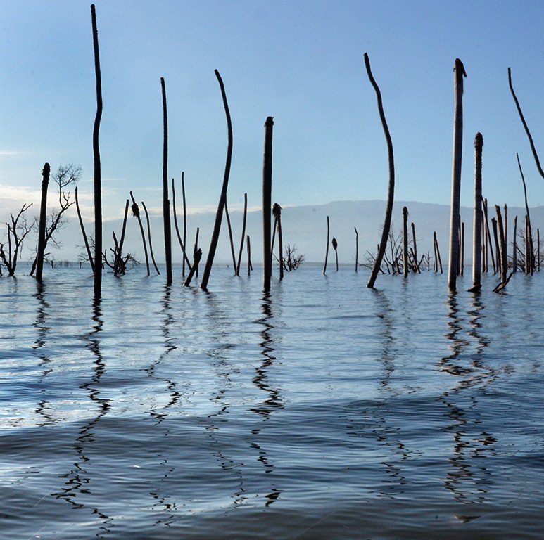
.The shores of Enriquillo, once completely hidden underwater, still hold remnants of coral from prehistoric times. American crocodiles are abundant in the rivers that flow into the lake. They are especially abundant in the Rio de la Descubierta, and they avoid salt water. Flocks of flamingos or herons can be found on this river.
.The lake is named after the Taino leader Enriquillo, who hid in local caves for 15 years in the 1520s, organizing more than 3,000 men and women to fight the colonists. He and his companions, after much resistance, reached a peace agreement with the Spanish, but unfortunately Enriquillo died of smallpox shortly thereafter. He is memorialized in a statue that stands on Road 46.
.The entrance to Cabritos Park and Lake Enriquillo is marked with a bright yellow and green sign and is located 3 km east of La Descubierta on Highway 46. 7.00-1.00pm daily. There is a fee to enter.
.Cabritos Island
Cabritos National Park is located on the largest of the three islands in Lake Enriquillo, the other two, Barbarita and Islita, are much smaller and more desolate.
>Cabritos Island, whose name translates to “goats”, is between 4 and 40 meters below sea level in the middle of Lake Enriquillo. It was once completely hidden underwater. Its 12 km long surface, flat and deserted, receives only 50 cm of rainfall per year, while the temperature reaches 44 °C. The landscape is enlivened by cacti, which are home to a large number of reptiles, including rare species of iguanas. Some iguanas are over 20 years old. Many birds nest on the island, including the West Indian nighthawk and rabbit owl.
.Those interested in art in secret should visit Las Caritas, which translates to “little faces”. This archaeological site is located near the entrance to the park, on the freeway. If you manage to get higher up, you can get a better look at the petroglyphs carved not on rock, but on fossilized coral. Many believe that it was the site of ritual ceremonies, but little is known about this.
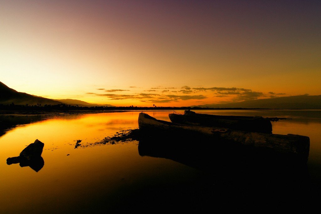
Tours of the park
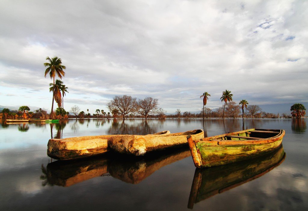
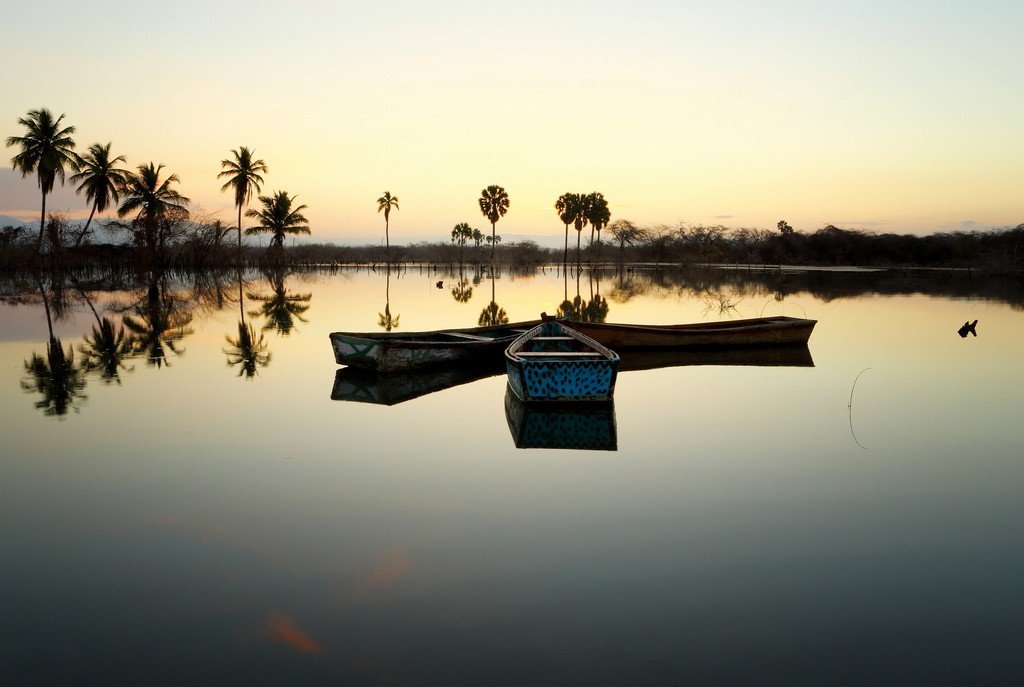
Boat tours last 1 to 2.5 hrs, so stock up on drinking water and protect yourself from the sun. On Cabritos Island, which is not as rich in sights, you can meet some very friendly iguanas.
>
Morning tours are more convenient for travelers, plus the chances of seeing crocodiles increase. Most tours involve a walking tour of the island.
.
Visitor information is available from the National Parks Section (Calle Damas 6, Old Town, Santo Domingo. Tel: 809-685-1316).
.