Åland Islands (Finnish archipelago)
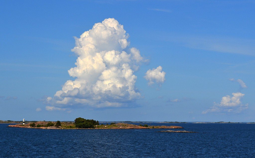
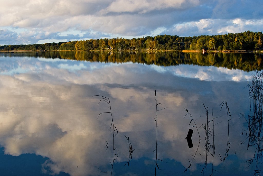
The Åland Islands are the greatest treasure of the Finnish landscape, located between Sweden and the southern tip of Finland. They are also called the Finnish archipelago, which includes more than 20,000 islands and islets, small rocky cliffs-skerries.
General Information
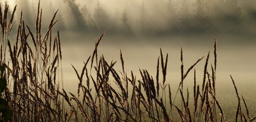
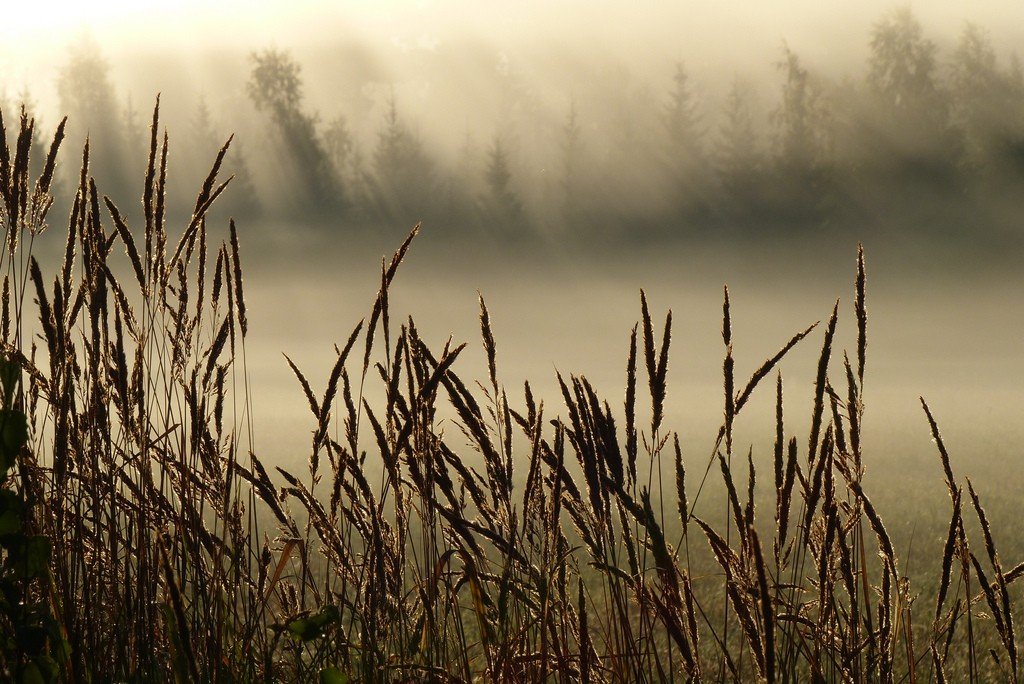
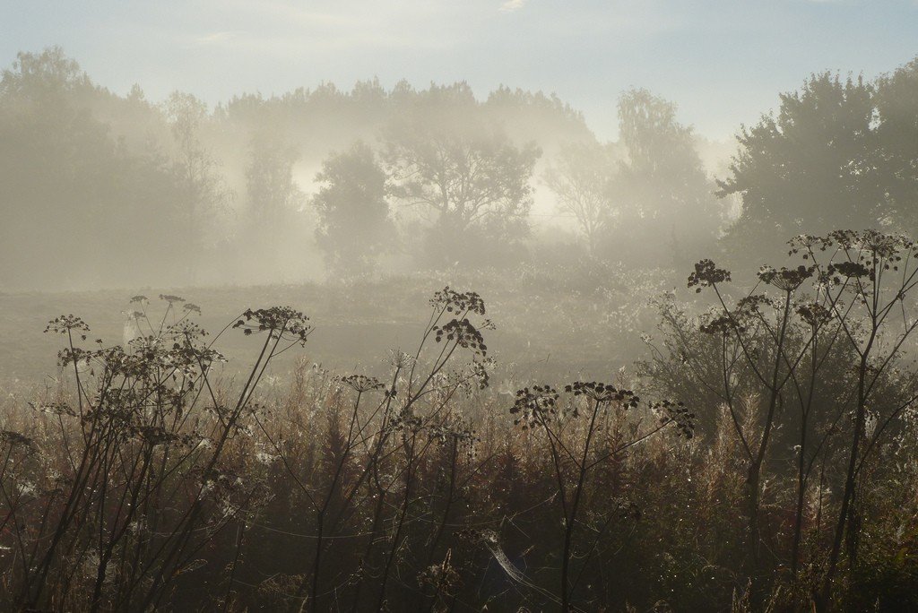
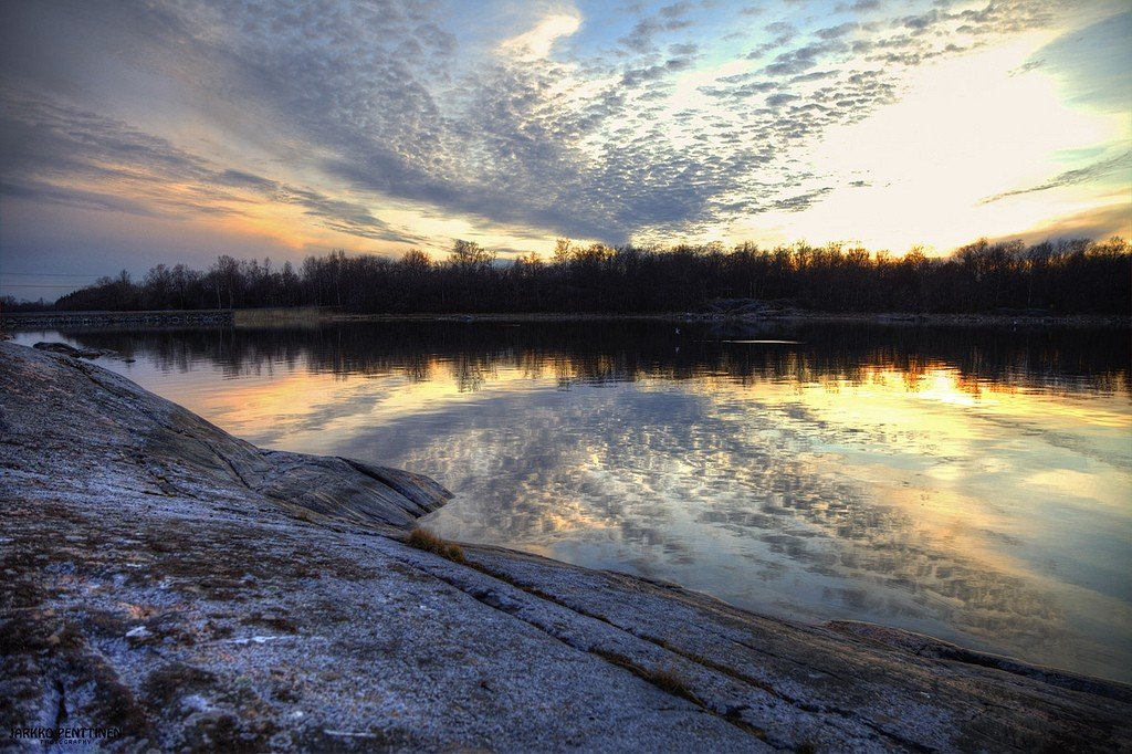
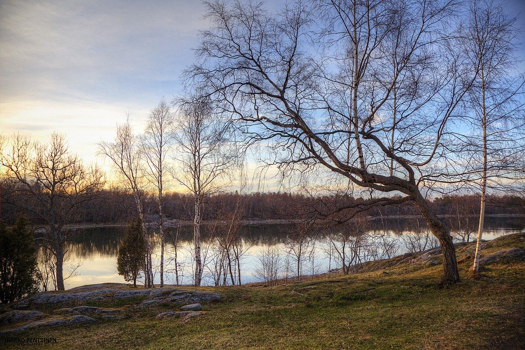
The unique seascape of the Åland Islands captures the imagination of all who see it for the first time. The picturesque skerries, the mild climate and the large number of sunny days per year attract many vacationers to Åland. And thanks also to the soils, which are rich in limestone, a flora rather untypical of Scandinavia has developed here: oaks, ash trees, maples, elms and lindens and various species of orchids.
Human settlement on the islands began around 4200 BC, and for many centuries the islands were a “bridge” between Finland and Sweden, and the population of Åland was constantly increasing. During the Great Northern War, the islands together with Finland were ceded to Russia in 1809, and in 1921 they were handed back to Finland with the rights of a self-governing zone. In 1954 the Åland Islands received their own flag (a red cross in a yellow field on a blue background); the official language on the islands is Swedish. Since 1984 they have been issuing their own postage stamps (Finnish stamps are invalid). Ålanders are proud of their special status and do not like to be called Finns. The main occupations of Ålanders are shipping, vegetable farming and tourism. After the abolition of duty-free trade in the EU, Åland remains the only tax-free oasis in Europe.
.
On Åland Islands you can see the oldest churches in Finland, traces of the oldest agriculture and buildings of the 12th century. Many ships have been shipwrecked here, the most famous being the Vrouw Maria, a Dutch ship loaded with treasures acquired by Catherine the Great. In 1999, the exact location of the shipwreck was finally discovered.
Turku is Finland’s oldest city, largest port, and former capital. It is an excellent starting point for visiting the islands, especially if you are traveling by bicycle – the fact is that free ferries run constantly between the islands, a true marvel of public transportation. Here you can also observe a variety of flora and fauna, including seabirds, moose, and seals, while taking in the rural charm of the inner islands and checking out the giant lighthouses..
What to see in Åland
Mariehamn
Mariehamn, or Maarianhamina (11,000 inhabitants, or 40% of the total population of the islands) is the main city of the islands. The city of “a thousand limes” in the south of the archipelago was founded in 1861 by Russian Emperor Alexander II and named in honor of Empress Maria Alexandrovna. Since 1889 Mariehamn has been a popular seaside resort, now it is the administrative and industrial center of Åland. The magnificent 1,000-meter-long Norra Esplanadgatan Street connects the Western Port and the Eastern Port. Don’t overlook the old Maritime Quarter as well.
.On Storagatan is the Åland Islands Museum with a rich archaeological collection; the cultural history of the region is also well represented. In the same building is the art museum (Opening hours: daily 10.00-16.00, Tues. 10.00-20.00).
.In the Western Port there is a museum of navigation – its building resembles a ship (Opening hours: May-June, Aug. 9.00-17.00, July 9.00-19.00, other times 10.00-16.00). In the same port is anchored sailing ship “Pommern” – now a museum. The four-masted barque (95 m long) is a symbol of the city. From 1903 to 1952 it transported grain from . 3 km west of Mariehamn is the beautiful Ramsholmen Nature Reserve. Here you can find typical species of meadow and shrub plants of the Åland Islands. Ramsholmen
.Ramsholmen
Kastelholm Fortress
The Kastelholm fortress stands 23 km northeast of Mariehamn. The first written mention of it dates back to 1388. Until 1634 “North Gibraltar” was the residence of the Viceroy of Åland. In 1507 the Danish navy destroyed the castle, and in the middle of the 18th century the castle suffered a fire. Today it has been restored and is open for inspection (Opening hours: May, June, early to mid-Aug. 10.00-17.00, July 10.00-17.30, Sept.-Sep. 10.00-16.30).
Jan Karl’s Manor
Not far from Kastelholm is the open-air museum “Jan Karlsgarden” (“Jan Karlsgarden”). Visitors to the museum learn about the traditional way of life of local peasants, and can also look into the historic prison of the XVIII century. “Vita Bjorn (Polar Bear). Opening hours: May-Sept. 10.00-17.00.
Sund
.A little further north of Kastelholm in Sund (Sund) stands the stone church of St. John the Baptist (13th century) with wooden sculptures. Not far from it in the forest are the ruins of the Viking fortress Borgboda (Borgboda).
.Bomarsund
To the east of Kastelholm (11 km away) stands the fortress of Bomarsund, built by the Russians in 1832-1854. The fortress was intended as a powerful citadel of the Russian Empire, but during the Crimean War it was destroyed in 1854. Information about the fortress is available at the “Pilot’s House” on the island of Prasto. Opening hours: May-Sept. Aug. wt.-fri. 10.00-15.00.
Saltwick
.North of Mariehamn (23 km on the highway through Jomala, turn left before Kastelholm) we will find Saltvik. St. Mary’s Church is one of the oldest churches on the islands. Of greatest interest are the baptismal font made of Gotland limestone, the triumphal cross and the altar stall (15th century)
.Orrdalsklint
Northeast of Saltvik is Orrdalsklint, the highest point (129 m above sea level) of the islands. There is also a beautiful view from the Kasberg hill north of Saltvik.
>Finström
20 km north of Mariehamn (left after Jomala) is the municipality of Finstrom, centered in Godby. In the church of St. Michael (XIII century) frescoes of the XV century are preserved.
Geta
Another 21 km north of Godby and we are in the northernmost municipality of Geta. The second highest mountain, Soltuna, offers beautiful views.
.
Hammarland
The church of St. Katharina in Hammarland (13th century) stands 21 km northwest of Mariehamn. In Skarpnato municipality Hammarland (Hammarland) a local history museum is open. Interesting are the peasant buildings of the XVIII century and old windmills.
.Eckero
In Storby near Eckero in the old post office building (1897) there is a postal museum. Among the exhibits there are even mail boats, which were used to deliver the Tsar’s mail to Stockholm until 1910. Working hours: May-Sept. June, Ser. Aug.-Ser. Sept. 10.00-16.00, ser. June-ser. Aug. 10.00-18.00.
Every year in June, a traditional mail boat race (40 km) on the Gulf of Bothnia – to Grisslehamn (Sweden) is organized here.
.The Hunting and Fishing Museum tells about the conditions of former life on the islands (Karingsund, Eckero).
.Opening hours: Apr.-Sept. Sat., Sun. 10.00-18.00, May-Aug. daily 10.00-18.00.
.Lemland
.The municipality of Lemland is located on an island 15 km southeast of Mariehamn. Next to the ruins of the maritime chapel of St. Olaf (13th century) is an ancient Viking cemetery, the largest in Åland. Former Viking sanctuary – a stone labyrinth. Historical house-museum of shipowners Pellas (1884) open: ser. June-ser. Aug.
.Kökar
Kökar (kokar, 300 inhabitants, guest ports Sandvik and Hellso), a paradise for sailing enthusiasts, can be reached by ferry from Kogro (74 km southwest of Turku) and Langnas (28 km east of Mariehamn). It is worth seeing the church made of gray vakka, built on the ruins of a Franciscan monastery (XIV century). A small local history museum is open in Kökar; there are hotels, a restaurant and a campground.
.