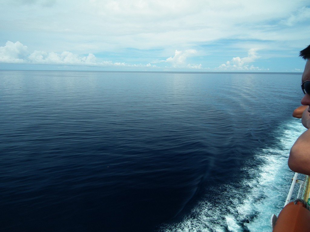
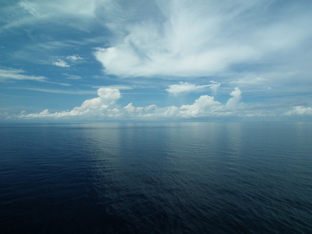
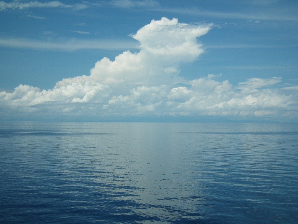
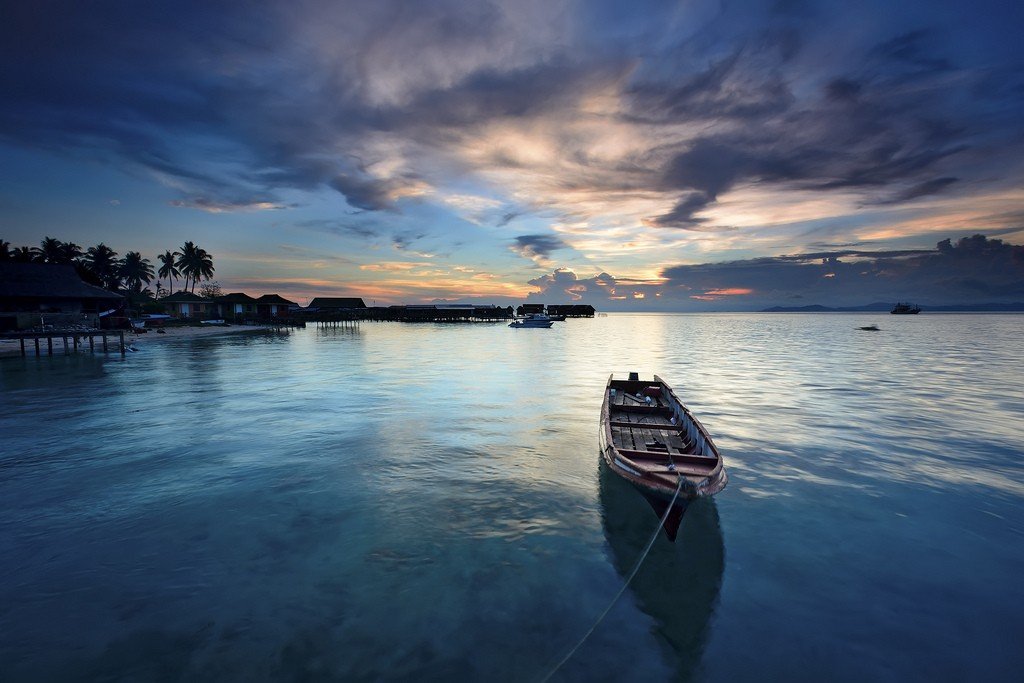
Sulu Sea
This attraction is related to the countries:PhilippinesMalaysiaSulu is an inter-island sea of the Pacific Ocean. The territory of the Sulu Sea is fairly clearly bounded by islands: the Philippine archipelago to the northeast and east, the long island of Palawan to the northwest, Kalimantan to the southwest, and the Sulu Archipelago to the southeast. The straits connecting the Sulu Sea between the islands are narrow and shallow. The maximum depth of the Mindoro Strait connecting the Sulu Sea and the South China Sea is only about 450 meters, while the maximum depth of the sea reaches 5,576 meters. The straits connecting to the Sulawesi and Mindanao Seas are even shallower.
General Information
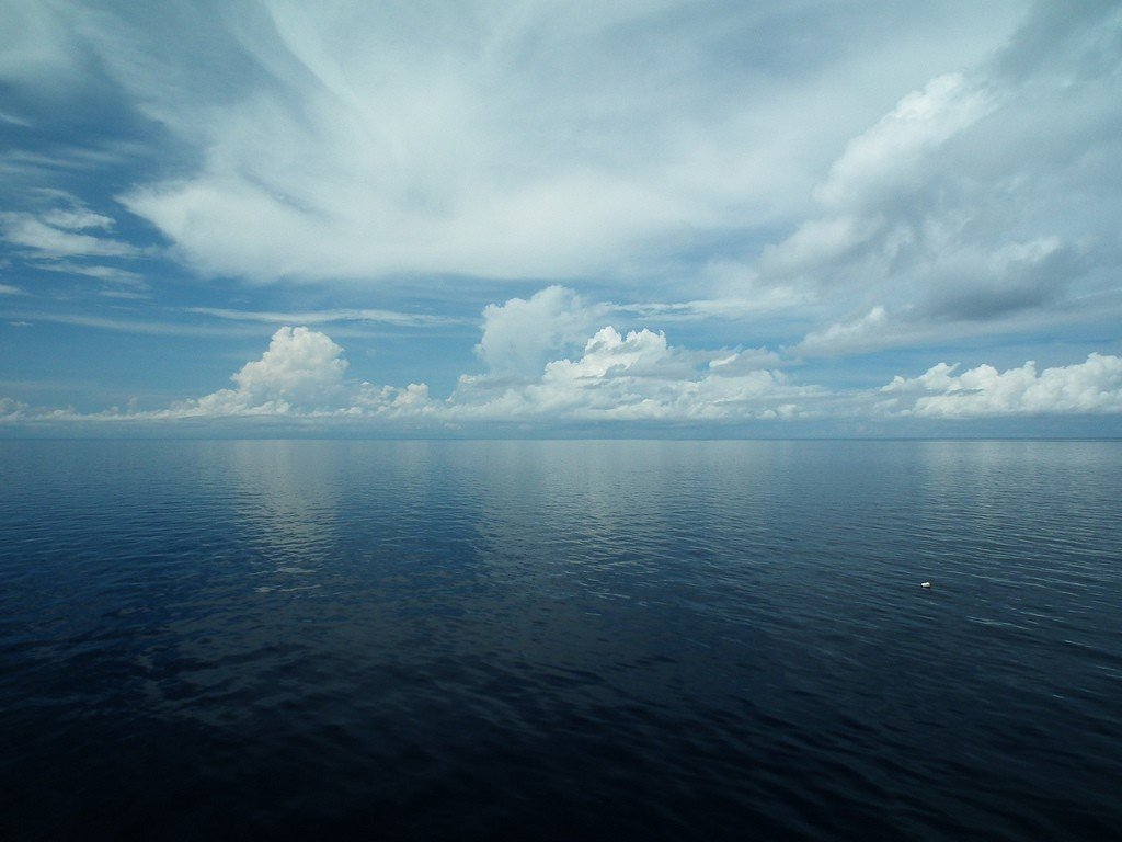
Surface water temperature is high all year round, ranging from 25.5°C in winter to 29°C in summer. Salinity varies between 33-34.5‰. The tides in the Sulu Sea are irregular semidiurnal, up to 2-3 m in size. The average daily air temperature near the sea varies from 26 °C to 29 °C. Precipitation occurs from May to December.
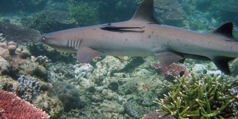
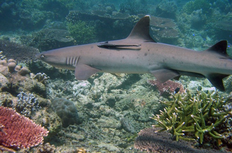
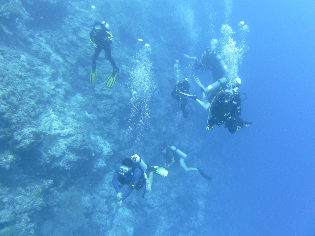
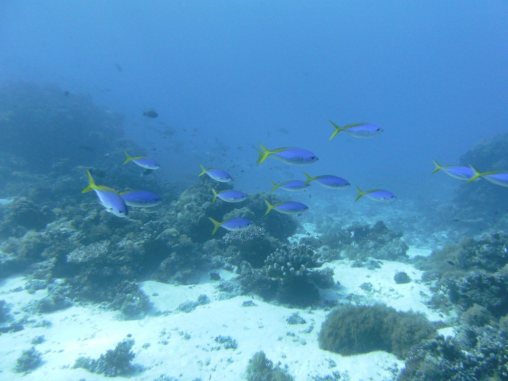
.Coral reefs are common in the southern part of the sea. Tubbataha Atoll is a protected marine reserve and is a UNESCO World Heritage Site..
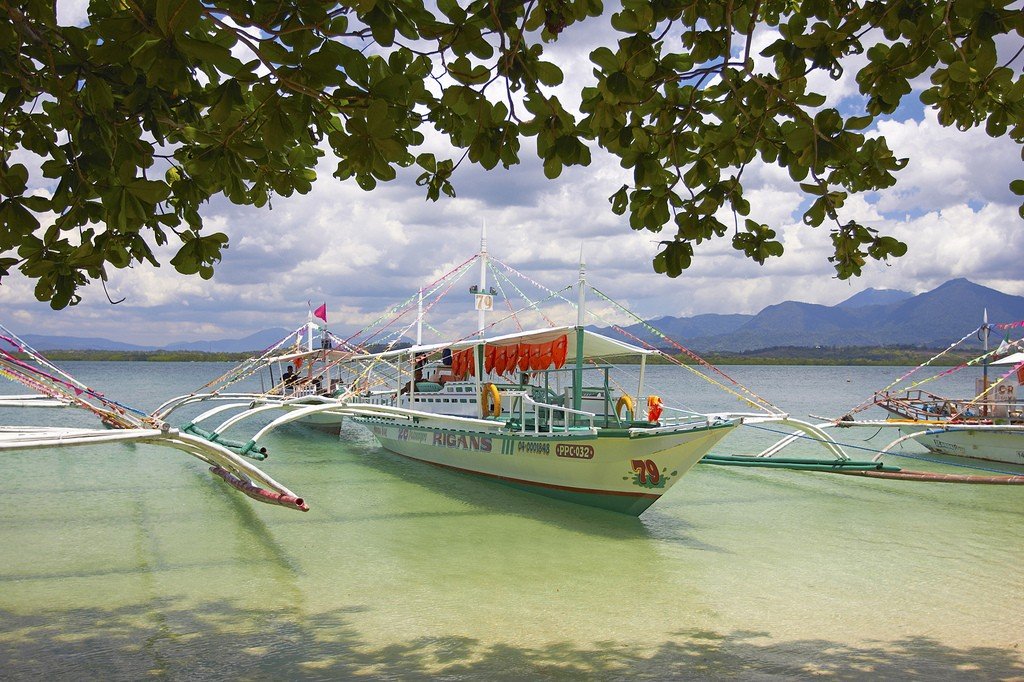
Fishing is developed among the coastal inhabitants. The main ports of the Sulu Sea are Iloilo (Panay Island), Zamboanga (Mindanao Island), Sandakan (Kalimantan Island), and Puerto Princesa (Palawan Island). Mangrove forests are common off the coast on some islands.
.