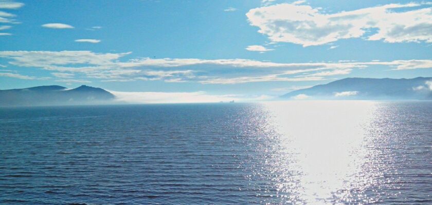
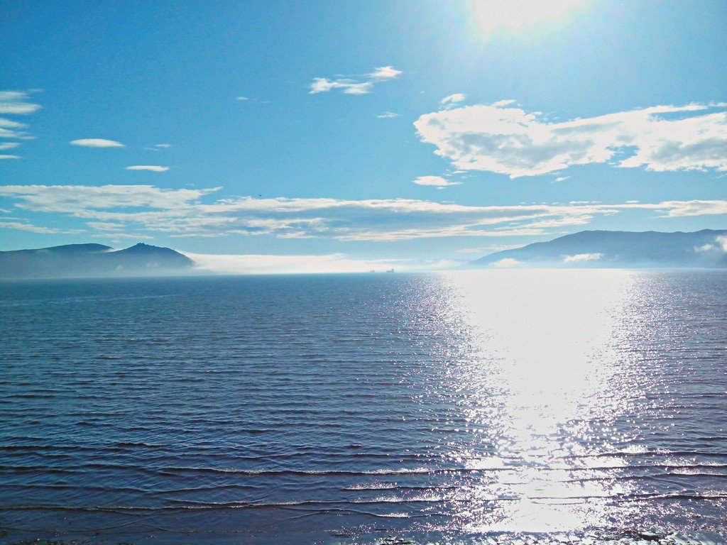
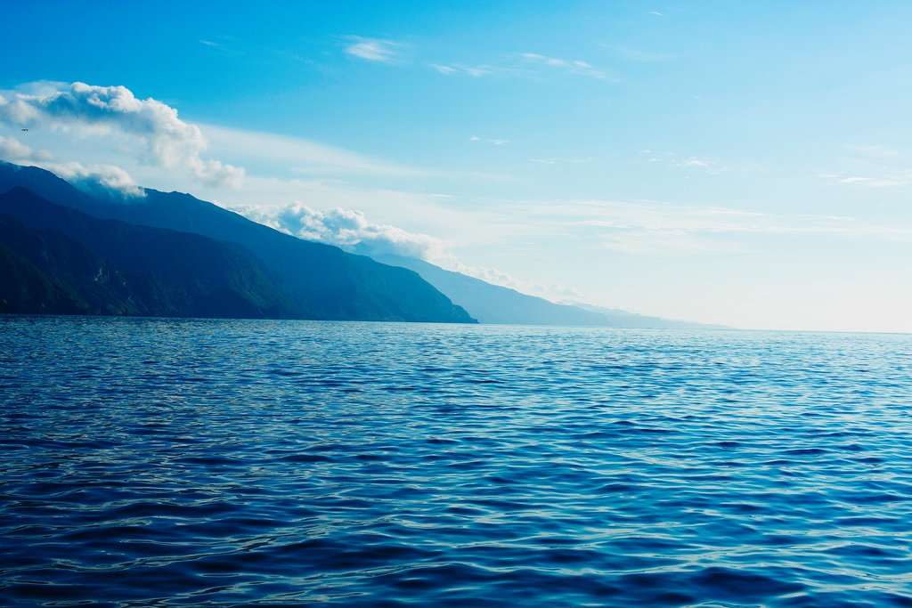
Sea of Okhotsk
Sightseeing refers to the countries:RussiaJapanSea of Okhotsk is part of the Pacific Ocean, separated from it by the Kamchatka Peninsula, the Kuril Islands and Hokkaido Island. The sea washes the coasts of Russia and Japan.
General information
The area of the Sea of Okhotsk is 1.603 million square kilometers. The average depth is 1780 meters maximum depth is 3521 meters. The western part of the sea is shallow and is located on the continental shelf. In the center of the sea are the Deryugin Depression (in the south) and the TINRO Depression. In the eastern part there is the Kuril Basin, where the depth is maximum.
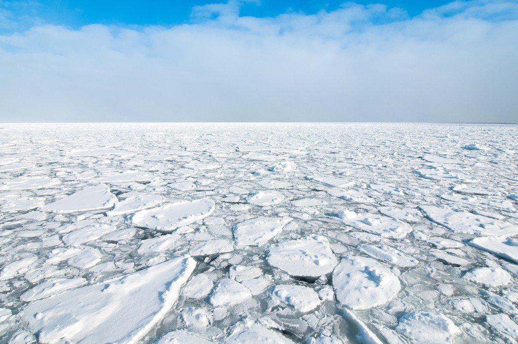
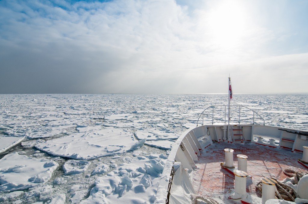
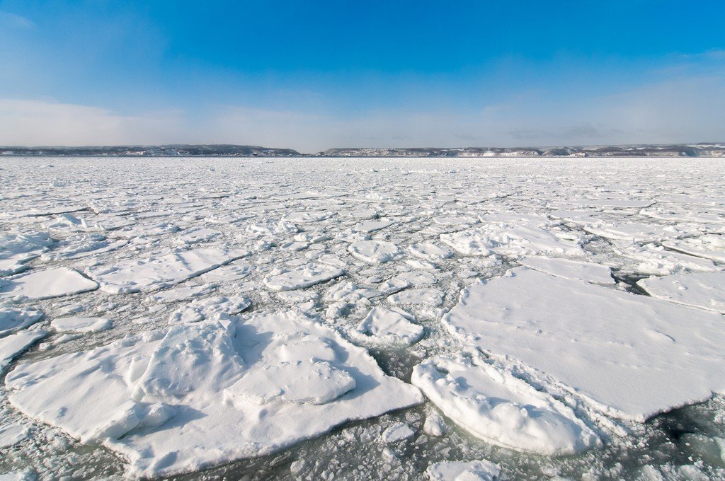
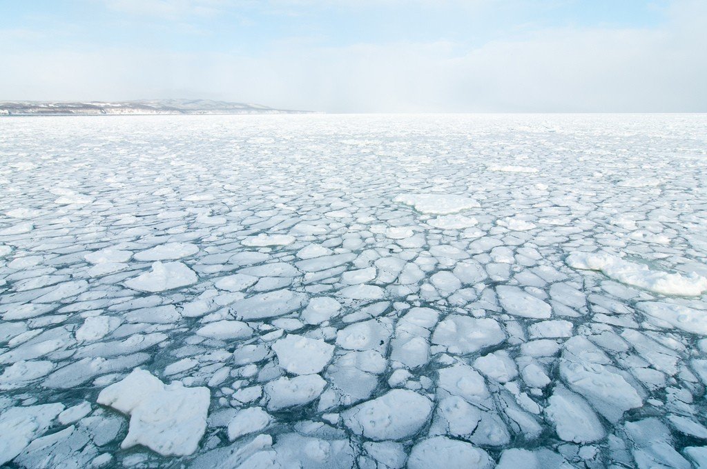
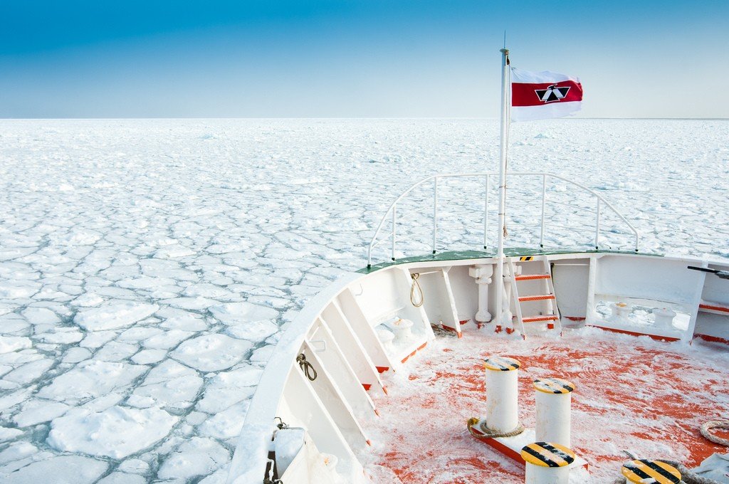
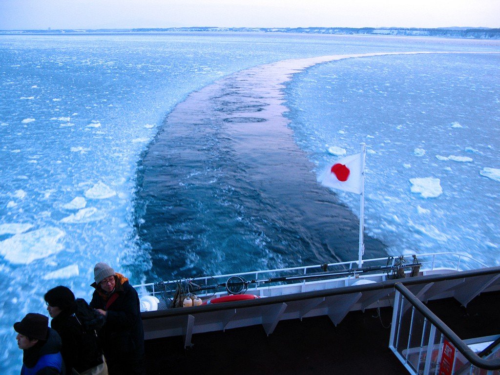
.From October through May-June, the northern part of the sea is covered with ice. The southeastern part is practically ice-free.
.The coastline in the north is heavily indented, with the largest bay of the Sea of Okhotsk, Shelikhov Bay, located in the northeast of the Sea of Okhotsk. Of the smaller bays in the northern part, the best known are Eirinei Bay and the bays of Sheltinga, Zabiyaka, Babushkina, Kekurny, and Odessa Bay on Iturup Island. In the east, the coastline of the Kamchatka Peninsula is practically devoid of bays. In the southwest, the largest are Aniva and Terpeniya bays.
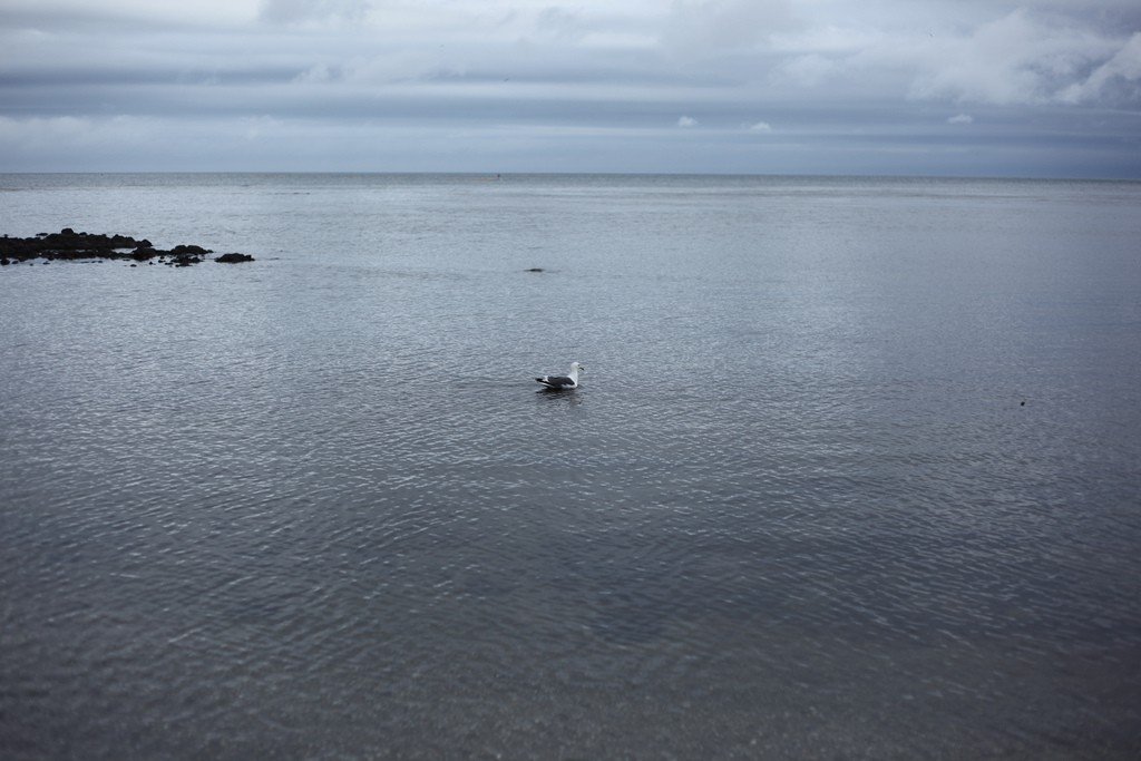
.Fishing (salmon, herring, pollock, capelin, saffron cod, etc.).
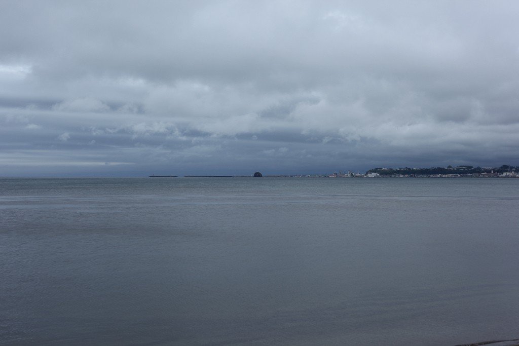
.Main ports: on the mainland – Magadan, Ayan, Okhotsk (port point); on Sakhalin Island – Korsakov, on the Kuril Islands – Severo-Kurilsk.
.The Sea of Okhotsk is named after the Okhot River, which in turn is derived from the Evenan okat, “river”. The Japanese traditionally called this sea “Hokkai” (北海), literally “North Sea”. But since this name now refers to the North Sea of the Atlantic Ocean, they changed the name of the Sea of Okhotsk to “Okhotsuku-kai” (オホーツク海), which is an adaptation of the Russian name to the norms of Japanese phonetics.
.The sea is located on the Okhotsk subplate, which is part of the Eurasian plate. The crust beneath most of the Sea of Okhotsk is of continental type.
.