Pacific Ocean
The Pacific Ocean is the largest ocean on Earth. It has an area with seas of 178.6 million km², a volume of 710 million km³, and an average depth of 3980 meters. The Pacific Ocean occupies half of the Earth’s total water surface, forty percent of the planet’s surface. Its original name was “The Great” and it was given by the Spaniard Vasco Nuñez de Balboa, who, exploring the New World, crossed the Isthmus of Panama from north to south on September 30, 1513.
Background
Magellan discovered the Pacific Ocean in the fall of 1520 and called the ocean the Pacific Ocean, “because,” as one participant reports, “during the passage from Tierra del Fuego to the Philippine Islands, more than three months, we never experienced the slightest storm. The Pacific Ocean ranks first among the oceans in terms of the number (about 10 thousand) and total area of islands (about 3.6 million km²). In the northern part – Aleutian Islands; in the western part – Kuril Islands, Sakhalin Islands, Japanese Islands, Philippine Islands, Greater and Lesser Sunda Islands, New Guinea, New Zealand, Tasmania; in the central and southern part – numerous small islands. The relief of the bottom is diverse. In the east – the East Pacific Rise, in the central part there are many troughs (North-Eastern, North-Western, Central, Eastern, Southern, etc.), deep-water troughs: in the north – Aleutian, Kurilo-Kamchatka, Izu-Bonin; in the west – Mariana (with a maximum depth of the World Ocean – 11,022 m), Philippine, etc.; in the east – Central American, Peruvian, etc.
.The main surface currents: in the northern part of the Pacific Ocean – warm Kuroshio, North Pacific and Alaskan and cold California and Kuril currents; in the southern part – warm South Passat and East Australian and cold West Wind and Peruvian currents. Water temperature at the surface near the equator from 26 to 29°C, in the circumpolar regions up to -0.5°C. Salinity is 30 to 36.5 ‰. The Pacific Ocean accounts for about half of the world fish catch (pollock, herring, salmon, cod, sea bass, etc.). Crab, shrimp, and oyster fisheries are harvested.
.Important sea and air communications between the countries of the Pacific basin and transit routes between the countries of the Atlantic and Indian oceans pass through the Pacific Ocean. Major ports include Vladivostok, Nakhodka (Russia), Shanghai (China), Singapore (Singapore), Sydney (Australia), Vancouver (Canada), Los Angeles, Long Beach (USA), and Huasco (Chile). There is a 180 meridian line of date changes across the Pacific Ocean.
.
As one moves away from the coasts toward the central parts of the ocean and with increasing depth, life becomes less diverse and less abundant. In general, the fauna of T. o. includes about 100,000 species, but of these only 4-5% are found deeper than 2000 m. At depths greater than 5000 m about 800 species are known, greater than 6000 m – about 500, deeper than 7000 m – a little more than 200, and deeper than 10 thousand m – only about 20 species.
.Among the coastal algae – macrophytes – in temperate zones are especially distinguished by the abundance of fucus and kelp. In tropical latitudes they are replaced by brown algae – sargassum, green algae – caulerpa and galimeda and a number of red algae. The pelagial surface zone is characterized by massive development of unicellular algae (phytoplankton), mainly diatoms, peridiniums and coccolithophorids. In zooplankton, the most important are various crustaceans and their larvae, mainly copepods (at least 1000 species) and euphausiids; there is a significant admixture of radiolarians (several hundred species), coelenterates (siphonophores, jellyfish, combworms), eggs and larvae of fish and bottom invertebrates. In T. o. can be distinguished, in addition to the littoral and sublittoral zones, the transition zone (up to 500-1000 m), bathyal, abyssal and ultraabyssal, or the zone of deep-sea troughs (from 6-7 to 11 thousand meters).
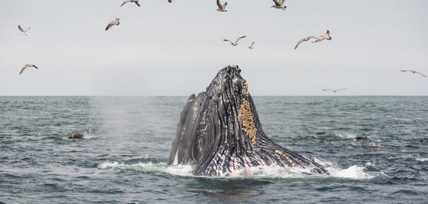
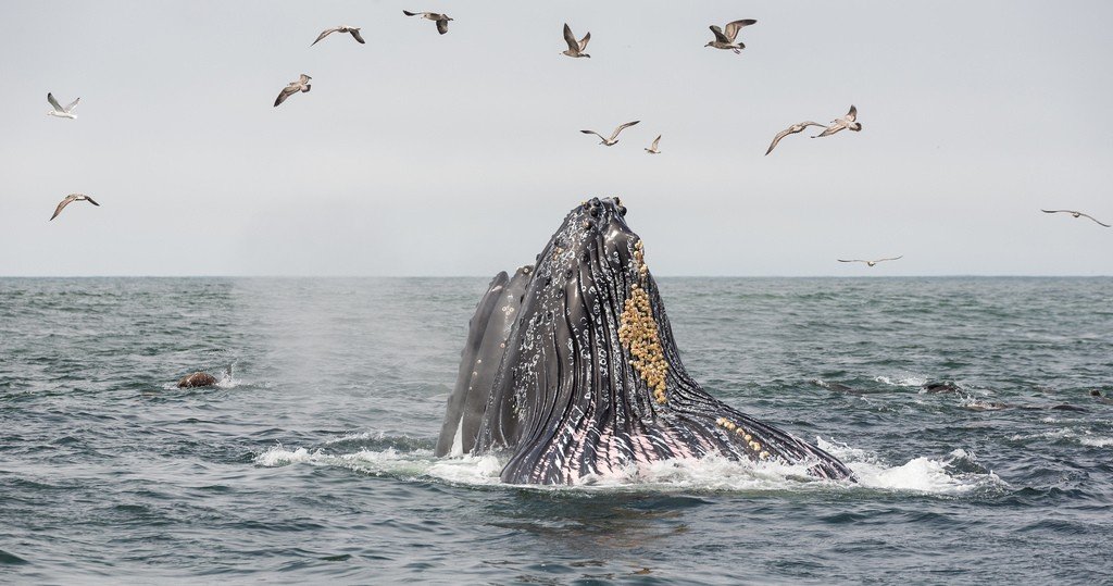
.Planktonic and benthic animals provide abundant food for fish and marine mammals (nekton). The fish fauna is exceptionally rich, including at least 2,000 species in tropical latitudes and about 800 in the Soviet Far Eastern seas, where there are, in addition, 35 species of marine mammals. The most important commercial species are: of fish – anchovies, Far Eastern salmon, herring, mackerel, sardine, saira, sea bass, tunas, flounder, cod and pollock; of mammals – sperm whale, several species of striped whales, sea lion, sea lion, walrus, sea lion; of invertebrates – crabs (including Kamchatka), shrimps, oysters, scallop, cephalopod mollusks, etc.; of plants – kelp (kelp), several species of striped whales, sea lion, walrus, sea lion, etc. Plants include kelp (seaweed), Agaronos anfeltia, sea grass Zostera and Phyllospadix. Many representatives of the Pacific Ocean fauna are endemics (pelagic cephalopod nautilus, most Pacific salmon, saira, terpuga fish, northern fur seal, sea lion, sea lion, sea otter, and many others).
.
The Pacific Ocean’s great north-south extent determines the diversity of its climates, from equatorial to subarctic in the North and Antarctic in the South Most of the ocean’s surface, roughly between 40° north latitude and 42° south latitude, is located in belts of equatorial, tropical, and subtropical climates. Atmospheric circulation over the Pacific Ocean is determined by the major atmospheric pressure regions: the Aleutian Minimum, North Pacific, South Pacific, and Antarctic Maximums. These centers of atmospheric action in their interaction determine a great constancy of the northeastern in the North and southeastern in the South winds of moderate strength – trade winds – in the tropical and subtropical parts of the Pacific Ocean and strong westerly winds in temperate latitudes. Particularly strong winds are observed in the southern temperate latitudes, where the recurrence of storms is 25-35%, in the northern temperate latitudes – 30% in winter and 5% in summer. In the western tropical zone, tropical storms – typhoons – are frequent from June to November. The northwestern part of the Pacific Ocean is characterized by monsoon circulation of the atmosphere. The average air temperature in February decreases from 26-27 °С near the equator to -20 °С in the Bering Strait and -10 °С near the shores of Antarctica. In August, the average temperature changes from 26-28 °С near the equator to 6-8 °С in the Bering Strait and to -25 °С near the shores of Antarctica. Over the entire area of the Pacific Ocean located north of 40°S latitude, there are significant differences in air temperature between the eastern and western parts of the ocean, caused by the respective dominance of warm or cold currents and the character of winds. In tropical and subtropical latitudes, the air temperature in the East is 4-8 °C lower than in the West In northern temperate latitudes, on the contrary: in the East the temperature is 8-12 °C higher than in the West. Average annual cloudiness in areas of low atmospheric pressure is 60-90%. of high pressure is 10-30%. Average annual precipitation near the equator is more than 3000 mm, in temperate latitudes – 1000 mm in the West. and 2000-3000 mm in the W. The least amount of precipitation (100-200 mm)falls on the eastern margins of subtropical areas of high atmospheric pressure; in the western parts the amount of precipitation increases to 1500-2000 mm. Fogs are characteristic of temperate latitudes, they are especially frequent in the Kuril Islands region.
.
Under the influence of atmospheric circulation developing over the Pacific Ocean, surface currents form anticyclonal cycles in subtropical and tropical latitudes and cyclonal cycles in northern temperate and southern high latitudes. In the northern part of the ocean the circulation is formed by warm currents: Northern Passage-Curoshio and North Pacific currents and the cold California Current. In the northern temperate latitudes, the cold Kuril Current dominates in the West and the warm Alaskan Current in the East. In the southern part of the ocean, the anticyclonic circulation is formed by warm currents: the Southern Passat, the East Australian Current, the zonal South Pacific Current and the cold Peruvian Current. North of the equator, between 2-4° and 8-12° north latitude, the northern and southern circulations are separated throughout the year by the Interpassage (Equatorial) Countercurrent.
.
The average surface water temperature of the Pacific Ocean (19.37 °C) is 2 °C higher than that of the Atlantic and Indian Oceans, which is the result of the relatively large size of that part of the Pacific Ocean area located in well-warmed latitudes (over 20 kcal/cm2 per year) and the limited connection with the Arctic Ocean. The average water temperature in February varies from 26-28 °C near the equator to -0.5, -1 °C north of 58°N latitude, near the Kuril Islands and south of 67°S latitude. In August, the temperature is 25-29°C near the equator, 5-8°C in the Bering Strait and -0.5, -1°C south of 60-62° S latitude. Between 40°S and 40°N, the temperature in the eastern part of T. o. is 3-5 °C lower than in the western part. North of 40° N latitude – vice versa: in the East the temperature in the East is 4-7 °C higher than in the West South of 40° S latitude, where zonal transport of surface water prevails, there is no difference between water temperatures in the East and in the West. In the Pacific Ocean, there is more precipitation than evaporating water. Including river runoff, more than 30,000 km3 of fresh water enters the Pacific annually. Therefore, the salinity of the surface waters of the Pacific Ocean is lower than in other oceans (the average salinity is 34.58‰). The lowest salinity (30.0-31.0‰ and less) is observed in the West and East of northern temperate latitudes and in coastal areas of the eastern part of the ocean, the highest (35.5‰ and 36.5‰) – respectively in the northern and southern subtropical latitudes. Near the equator, water salinity decreases from 34.5‰ or less, while at high latitudes it decreases to 32.0‰ or less in the North, to 33.5‰ or less in the South.
.Water density at the surface of the Pacific Ocean increases fairly uniformly from the equator to high latitudes in accordance with the general pattern of temperature and salinity distribution: near the equator 1.0215-1.0225g/cm3, in the North 1.0265 g/cm3 or more, and in the South 1.0275 g/cm3 or more. Water color in subtropical and tropical latitudes is blue, transparency in some places is more than 50 m. In the northern temperate latitudes dark-blue color of water prevails, near the coast – greenish, transparency 15-25 m. In Antarctic latitudes, water color is greenish, transparency up to 25 m.
.
Tides in the North Pacific Ocean are dominated by irregular semidiurnal (height up to 5.4 m in the Gulf of Alaska) and semidiurnal (up to 12.9 m in Penzhinskaya Bay of the Sea of Okhotsk). At the Solomon Islands and part of the coast of New Guinea the tides are diurnal, up to 2.5 m high. The strongest wind waves are observed between 40 and 60° S latitude, in latitudes dominated by westerly gale force winds (“roaring forties”), in the Northern Hemisphere – north of 40° N latitude. The maximum height of wind waves in the Pacific Ocean is 15 m and more, the length is more than 300 m. Tsunami waves are characteristic, especially often noted in the northern, southwestern and southeastern parts of the Pacific Ocean.
.Ice in the North Pacific Ocean is formed in seas with harsh winter climatic conditions (Bering Sea, Sea of Okhotsk, Sea of Japan, Yellow Sea) and in bays off the coast of Hokkaido Island, Kamchatka and Alaska peninsulas. In winter and spring, ice is carried by the Kuril Current to the extreme northwestern part of the Pacific Ocean. Small icebergs are found in the Gulf of Alaska. In the South Pacific Ocean, ice and icebergs are formed near the shores of Antarctica and are carried out into the open ocean by currents and winds. The northern boundary of floating ice in winter passes at 61-64° south latitude, in summer it shifts to 70° south latitude, icebergs in late summer are carried to 46-48° south latitude Icebergs are formed mainly in the Ross Sea.
.