New Guinea Sea (Bismarck Sea)
The New Guinea Sea (Bismarck Sea) is an inter-island sea in the western Pacific Ocean, in the Bismarck Archipelago.

General information
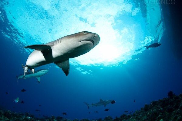
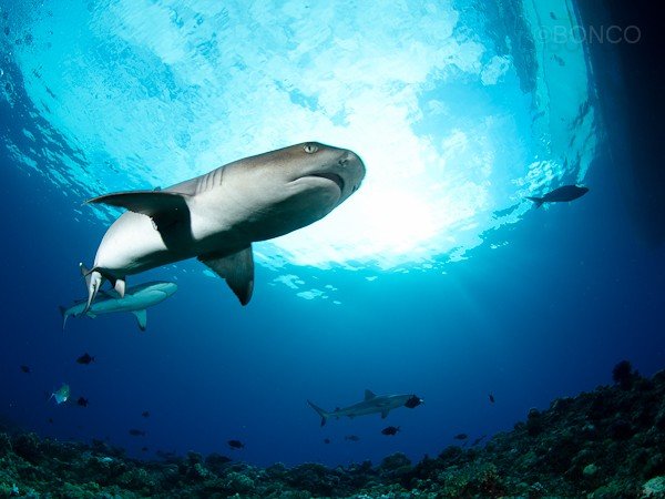
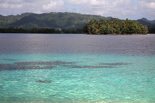
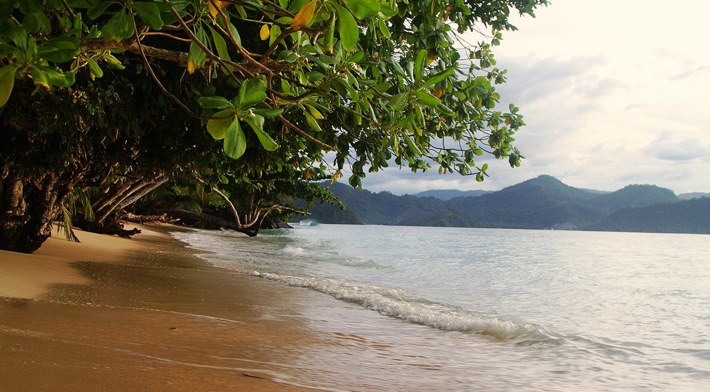
The area of the New Guinea Sea is about 310,000 km², with an average depth of 1,700 m and a maximum depth of 2,665 m. The bottom of the New Guinea Sea is an accumulative plain with many small rises and islands of volcanic origin. The coasts are level, and coral reefs are found in many places. There are coral reefs in many places along the island of New Guinea. Along New Guinea Island there is the New Guinea current with a speed of 50-75 cm/sec, in the straits between the islands there are strong tidal currents. The average water temperature at the surface is 28°С, salinity is decreased 34‰ – due to a large amount of atmospheric precipitation. In the water area of the sea, multiple underwater earthquakes have been recorded.
.
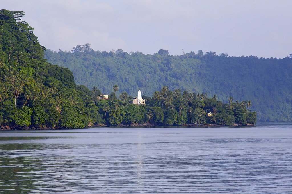
Main ports: Madang (New Guinea Island), Rabaul (New Britain Island).
.Russian maritime expeditions associated with the work of N. N. Miklukho-Maclay played a major role in the study of the geography of the New Guinea Sea. On March 2-4, 1943, a major battle between American-Australian and Japanese forces took place in the sea.
.