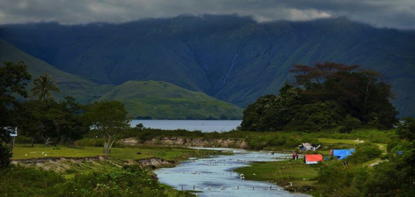
Lake Toba
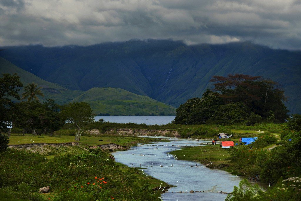
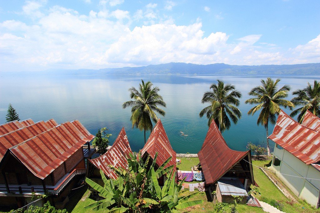
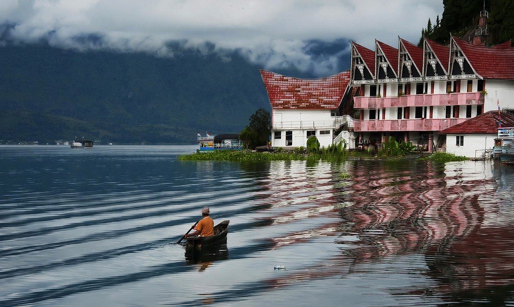
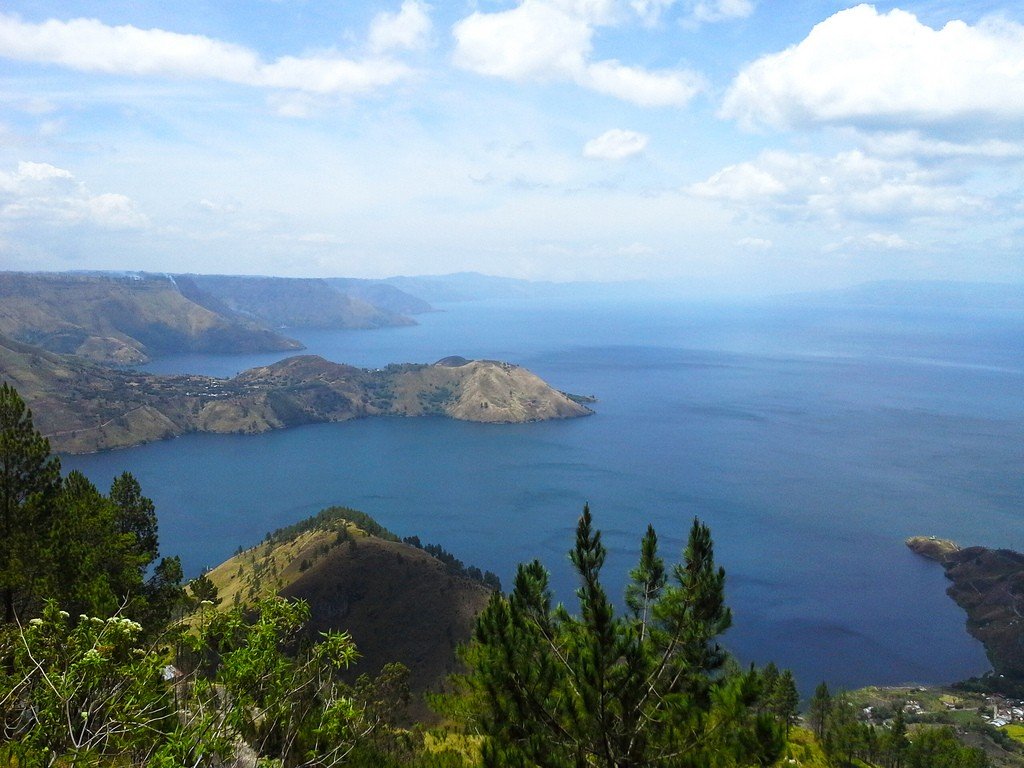
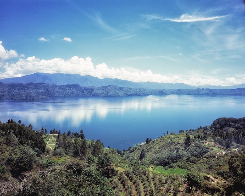
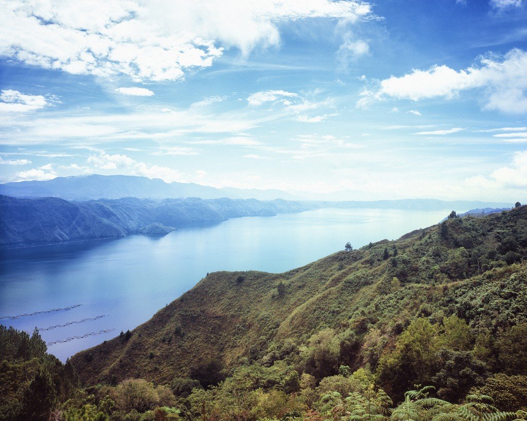
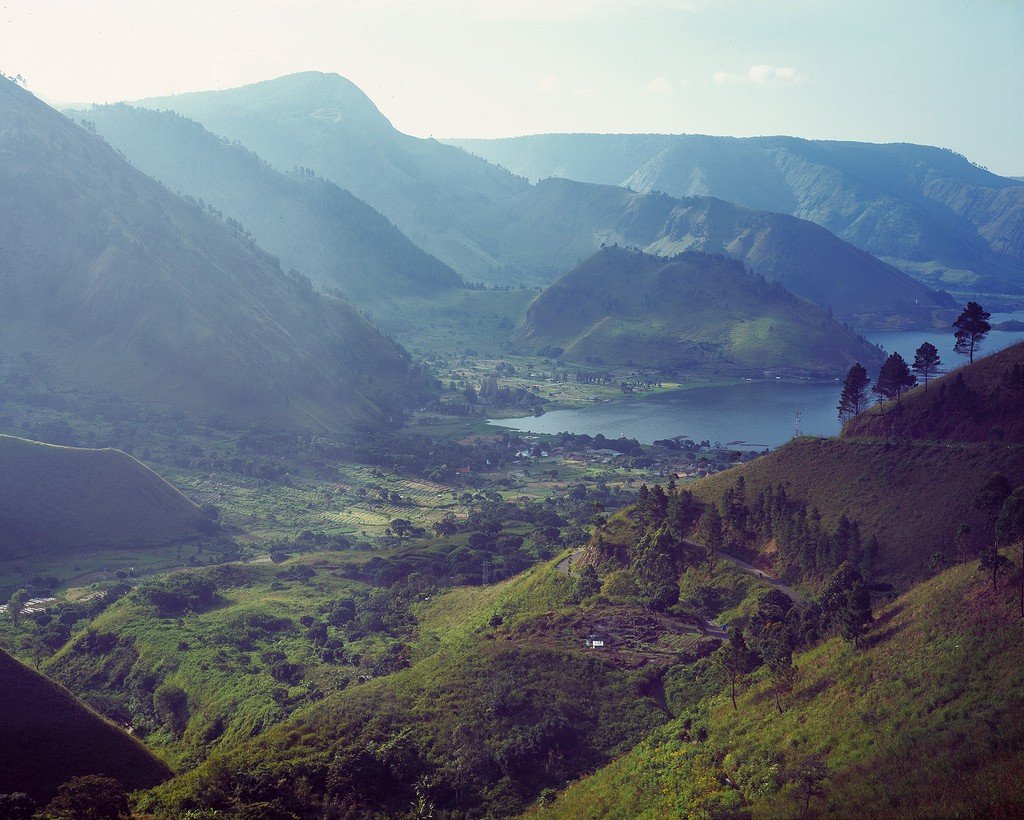
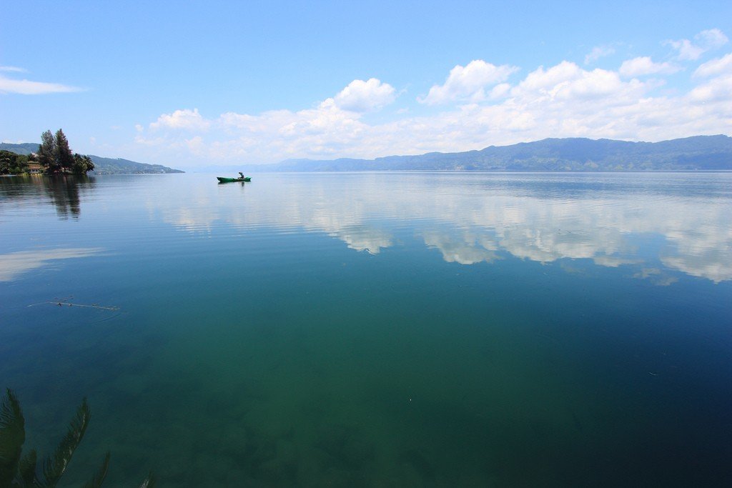
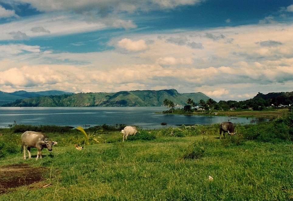
Lake Toba is the largest volcanic lake in the world, reaching 100 km long and 40 km wide. It is located in Indonesia, in the north of the island of Sumatra.

Formation of the lake
Lake Toba is the site of a colossal volcanic eruption that occurred 74,000 years ago and caused global climate change. This eruption was the most powerful eruption on Earth in the last 25 million years. The consequences of the explosion were catastrophic. More than 1,000 cubic kilometers of magma was ejected from the Earth’s interior. That’s enough to cover Russia with an eight centimeter layer of lava. After the explosion, a column of red-hot gas and ash burst out of the ground at supersonic speed, almost instantly reaching the edge of the stratosphere – a mark of 50 kilometers. Within three days, more than 2800 cubic kilometers of magma poured to the surface: in some places, the thickness of solidified lava was tens of meters. When the dome of the volcano collapsed inward, giant hot ash clouds rose into the air. They moved at a speed of almost 400 kilometers per hour, melting rocks in their path and burning all living things. Some scientists claim that this eruption set the Earth back 2 million years in evolutionary terms.
.
After the eruption, colorless ash fell over an area with a radius of 300 km for several weeks. The ash ejected into the atmosphere covered the Sun for six months. A “nuclear winter” began on the planet. The average temperature dropped by 11 degrees and 80% of the creatures that inhabited the Earth died. Between 3,000 and 20,000 people survived it, whereas before this eruption the human population was in the millions.
.
A huge bagel-shaped hole formed in its place, which gradually filled with water. This is how Lake Toba was formed – the flooded caldera of the ancient supervolcano, an area of 1775 square kilometers, more than 500 meters deep in some places, with a healthy island in the middle..
Samosir Island
Samosir is an island of the dead, huge and arid, located in the center of Lake Toba. Its dimensions are 45 x 20 kilometers. The east coast of the island rises sharply above a small beach towards a central plateau 780 m high, then gradually descends to the south and west shores of the island, where the small villages are located. This is where the fierce Bataki-Toba lived, and there are quite a few traditional villages and stone tombs.
.
The island is famous for the sarcophagi discovered here in 1930. These are “adat houses”, or “stone tombs” with coffins, which are found in 26 villages.
.
In Tomoka, there is a 200-year-old stone sarcophagus under the sacred Hariara tree. It belongs to the clan of the king of Sidabutara. Although the sarcophagi resemble coffins, most often only the skulls of the entire family or clan are kept there.
>
The traditional wooden houses decorated with clan symbols are very interesting, and traditional handicrafts and musical instruments can be purchased in several villages. The Simanindo Museum has wonderful examples of artifacts and traditional marionette puppets used in various ceremonies and dances.
.
