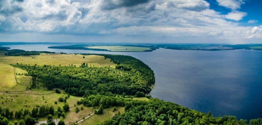
Volga River
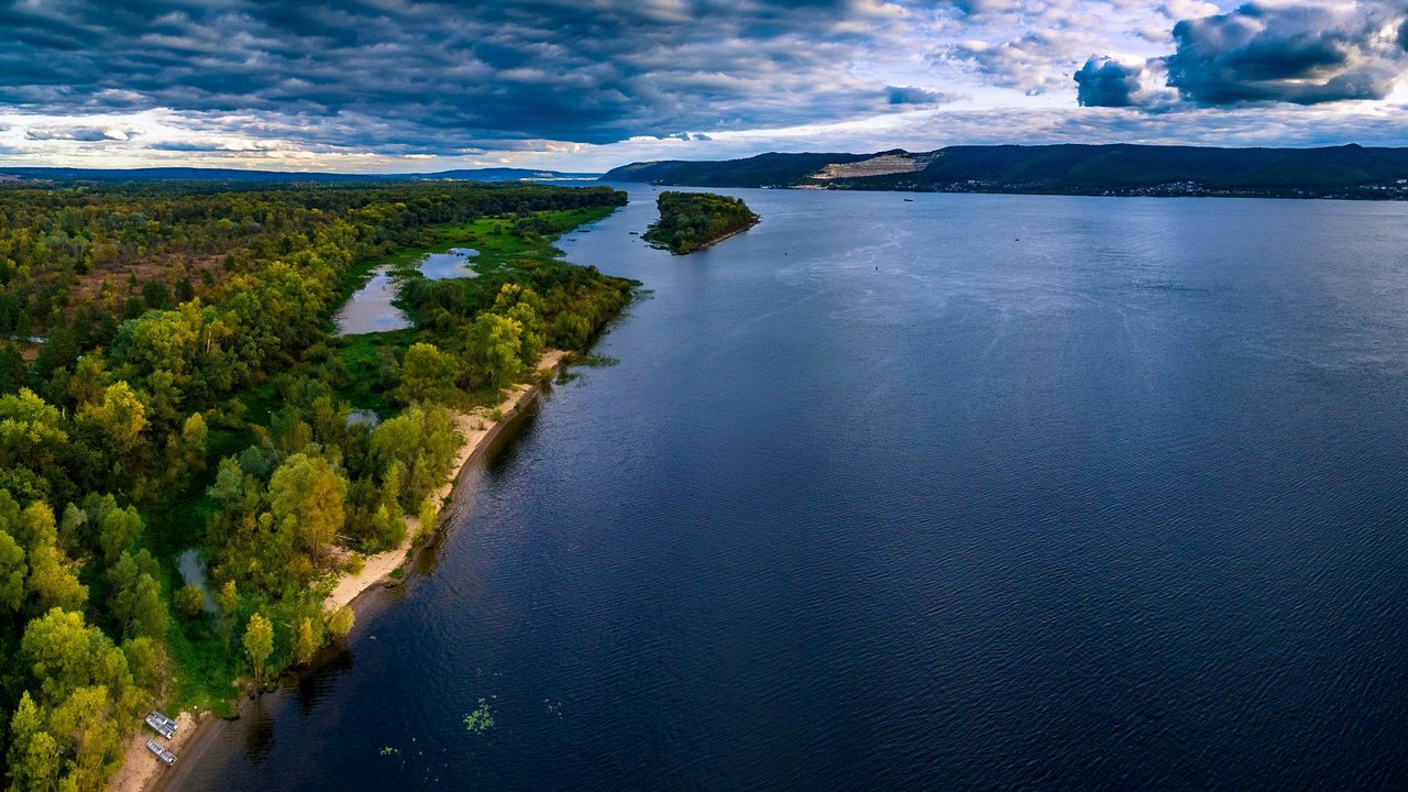
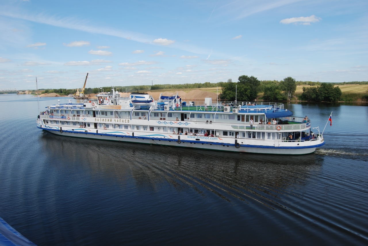
Volga is a legendary Russian river that occupies a special place in the life of the country. It supplies water resources to cities and arable land in European Russia, with a catchment area of 1,360,000 km². Moscow is located in the river basin, and 4 of the 10 largest Russian cities – Nizhny Novgorod, Kazan, Samara and Volgograd – stand on the banks of the Volga. The Volga carries its waters to the Caspian Sea through forests, fields and steppes. Landscapes smoothly replace each other, painting stunning landscapes that have inspired more than one generation of artists, writers, poets and composers. The water expanses of the Volga and its tributaries are plied by cargo ships, oil tankers, as well as yachts and entire flotillas of boats and cruise ships traveling along Russia’s most popular water tourist route.
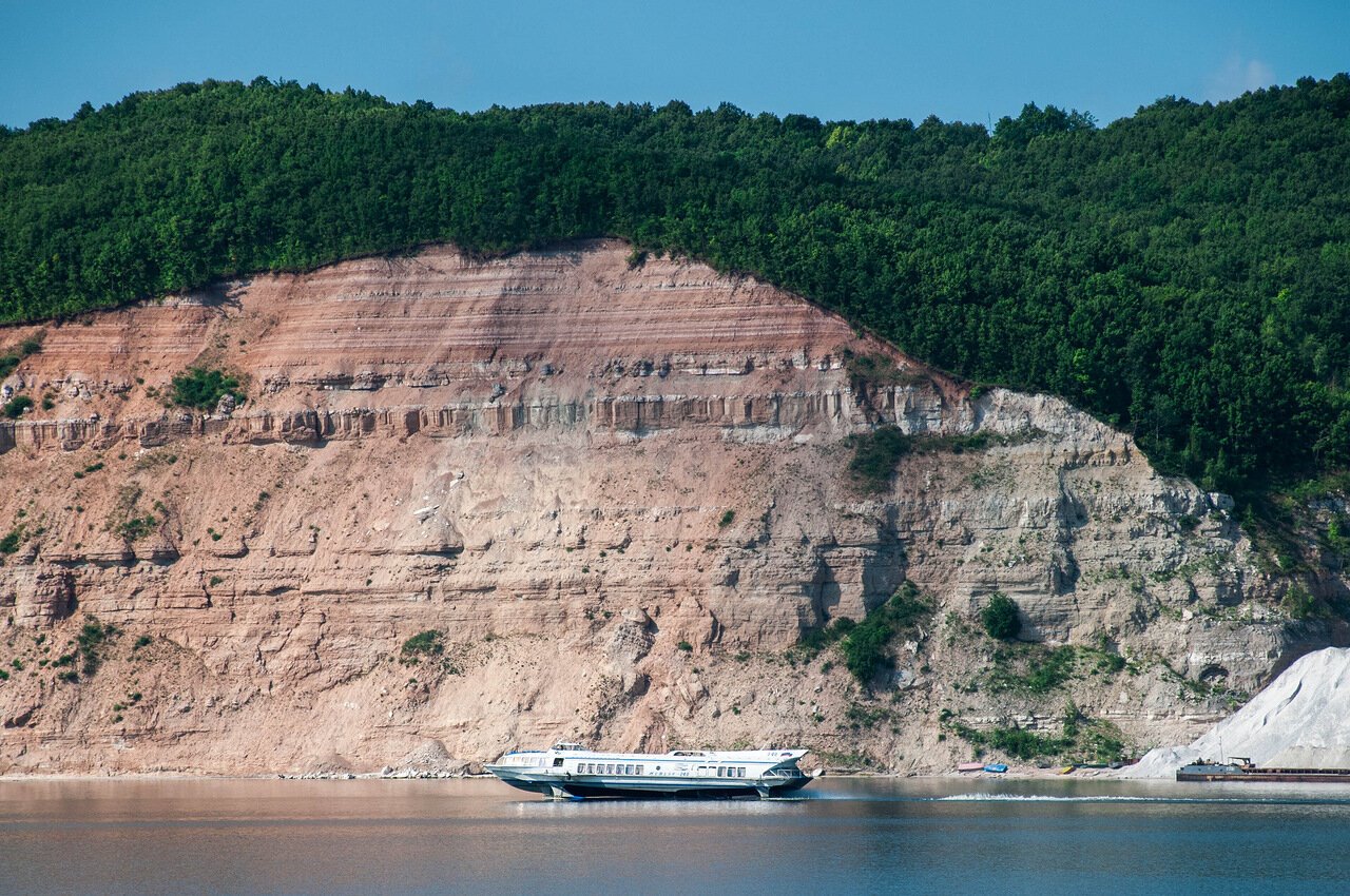
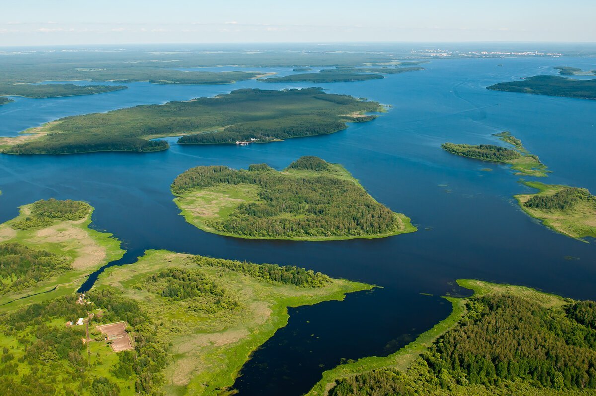
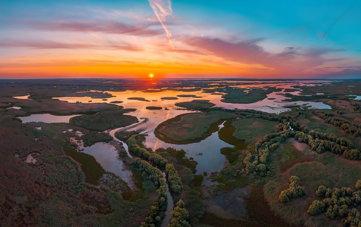
Video: Volga
ContentsHighlights
The Volga riverbed forms a wide arc covering the territories of 21 regions and 9 republics of the Russian Federation. Many indigenous peoples inhabiting the banks of the Volga River call it by their own names. For example, in the Tatar tradition it is Idel (Itil), in Mordovia – Rav, and the inhabitants of the Republic of Mari El call the Volga shortly: Yul. In Russian culture and folklore, the great river has a symbolic meaning. It is animated, attributing human qualities, and is called Volga-matushka.
.
The river has historically linked many Eurasian civilizations. This is evidenced by the numerous remains of ancient settlements on its banks. In Bolgar (Republic of Tatarstan), the ruins of the former capital of the Volga Bulgars – the Great Bulgar – have been preserved. And in the Astrakhan region, on the bank of the Akhtuba, the left branch of the Volga, traces of the largest city of the Golden Horde, possibly the capital of this feudal state – Sarai or New Sarai, have been found. In the upper reaches of the Volga are the oldest Russian cities – Tver, as well as Yaroslavl, Uglich, Kostroma, the pearls of the tourist route “Golden Ring of Russia.”
.
On the banks of the river are preserved corners with pure golden sand, and in summer thousands of locals and tourists rush to the Volga beaches. Along its entire course, in the most picturesque places, there are resorts, campgrounds and respectable hotels, democratic camping and their glamorous competitors – glamping, gaining more and more popularity.
.
History of the river
Archaeological finds indicate that the vast Volga-Oka region was inhabited by people at least 9,000 years ago. The first written mention of the Volga River is traditionally considered to be the lines from Herodotus’ “History”, which tells about the battles between the army of the Persian king Darius and the Scythians. The ancient Greek author writes about the river Oar, on whose bank Darius stopped, pursuing the Scythian army. Many historians identify the Oar with the Volga.
.
In the “Geography” by Ptolemy of Alexandria, the river Ra is mentioned, originating, according to the author, in Hyperborea – the mythological northern country. The name “Ra” is also found on medieval geographical maps, designating both the entire course of the Volga and its largest tributary, the Kama. Turkic tribes named different parts of the Volga basin “Itil”. To this day, Bashkirs, Chuvashs, and Tatars call the entire length of the Volga with this word.
.
.
Since the XI century the way “from the Varangians to the Arabs” gave the leadership in international trade to the Dnieper Way (“from the Varangians to the Greeks”), which connected Northern and Southern Europe. And in the XIII century, when the Mongol-Tatars subjugated almost all the lands between the Volga and Don rivers, the Volga route lost its importance altogether. Commercial chains were not cut off only in the upper reaches of the Volga, allowing Tver, Novgorod, and the cities of Vladimir-Suzdal Russia to grow rich.
.
The revival of the ancient route along its entire length began two centuries later, with the strengthening of the Kazan and Astrakhan Khanates. After their defeat by Ivan the Terrible, control over the river basin concentrated in the hands of the Moscow state. The Volga trade flourished in the 17th century, when Samara, Saratov, Tsaritsyn, and Yaroslavl became transit centers.
.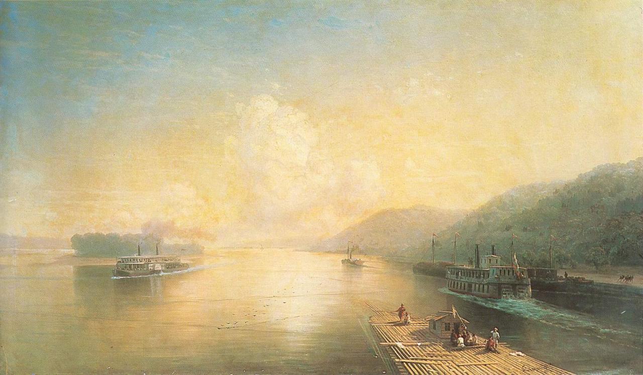
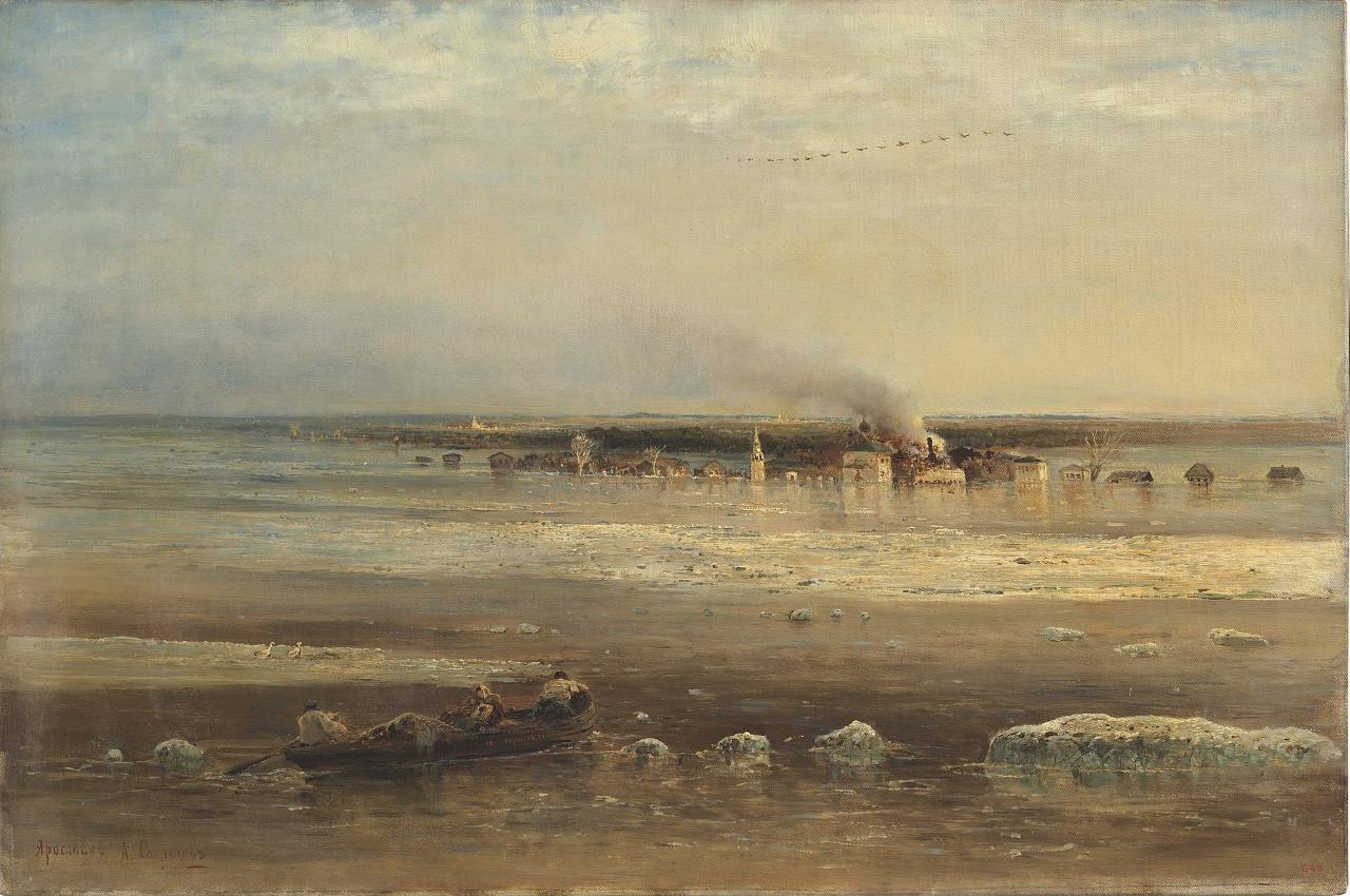
Beginning in the next century, Russia strengthened commercial ties with Western European states, and the importance of the Volga as a transportation artery decreased again. Trade in the lower reaches of the Volga was complicated by regular raids by the Kalmyks, and in the 17th and 18th centuries the coastal lands were at the epicenter of mass peasant rebellions led by Stepan Razin and Yemelyan Pugachev. There were also objective reasons that hindered navigation. Small flat-bottomed vessels that traveled the Volga could easily go down the river, but rowers needed a tailwind for the return trip. In addition, the stepped bottom relief was an obstacle to free navigation.
.
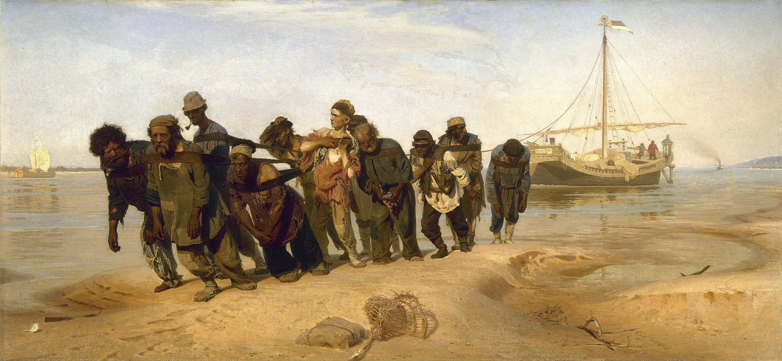
Since the 16th century, overcoming natural obstacles was solved by burlaks – hired laborers who, following the shore, pulled ships upstream with the help of twine. Over time they began to unite into artels, the core of which was made up of professionals. Burlatsky labor was not shameful, it was well and quickly paid. In spring and fall the army of burlaks was replenished by peasants and townspeople who were in dire need of money. Representatives of different estates were not a stranger to this work in order to save up, for example, for a wedding or to start their own business. In the XVIII-XIX centuries, before the advent of steamships, more than 300,000 people could work as burlaks on the Volga River during the season.
.
Since ancient times, a serious problem for trade in the Volga basin was the need to use the Voloks to connect the river with other waterways. Since the 1st millennium Volgodonskaya poveloka – a land section between the Volga and the Don, along which cargoes and ships were dragged manually or with the help of draught animals – had been in operation. Sultan Selim II of the Ottoman Empire was the first to try to connect the rivers by a canal, having attracted 30,000 diggers to this work. However, their efforts were unsuccessful. At the turn of the XVII-XVIII centuries, Peter I took up the project, but the beginning of the Great Northern War prevented the continuation of the successfully started works. The Volga-Don Canal opened its locks only in 1952.
.At the same time, under Peter the Great, research began in the upper reaches of the river. The emperor planned to connect the basins of the Volga and Neva to supply St. Petersburg with food, timber and transport goods further – to the Baltic. But the realization of the project started only at the end of the XVIII century. In 1810 the Mariinsky water system came into operation, which connected the Volga basin with the Baltic Sea. The artery included rivers, lakes, which were connected by man-made canals. The system was constantly improved, and upon completion of the 1959-1964 reconstruction, it was named the Volga-Baltic Waterway.”
.Shortly before the Great Patriotic War, the waters of the Volga became “fuel” for hydropower. The first to build hydroelectric power plants were in the upper reaches of the river. Today, the Volga River Basin has Europe’s largest transportation-water-energy system – the Volga-Kama cascade of hydroelectric power plants, which includes 13 complexes of hydraulic structures.
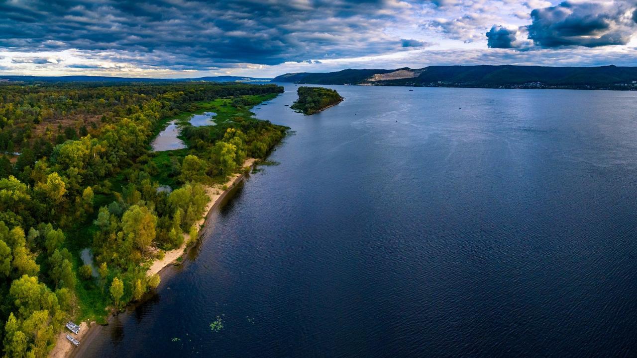
Geography
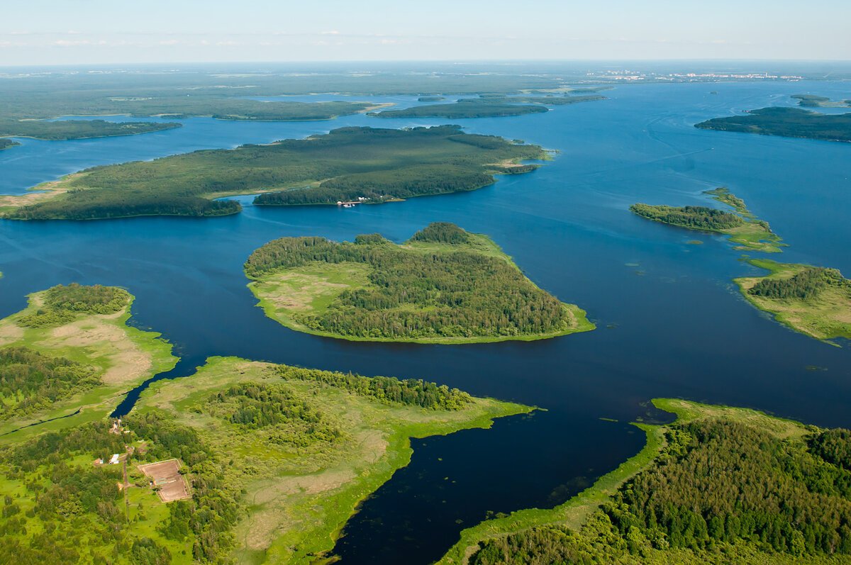
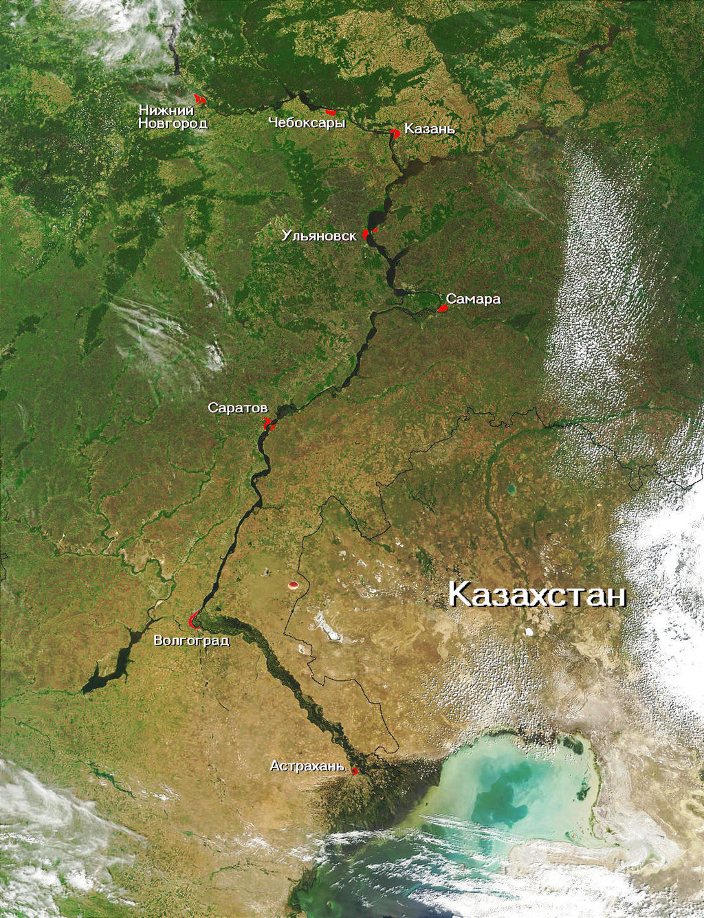
The source of the Volga River is hidden in the swampy forest thickets of the Valdai Upland, near the village of Volgoverkhovye in the Tver region. As far as Kazan, the river flows first in a northeastern direction and then in a southeastern direction. In the lands of the Republic of Tatarstan, the Volga deviates to the southwest, and from Volgograd to Astrakhan the wide waterway rushes southward.
.
.
The Volga is connected to the Baltic Sea by the Volga-Baltic Waterway, the Vyshnevolotskaya and Tikhvinskaya systems, to the White Sea via the Severo-Dvinskaya system and the White Sea-Baltic Canal, and to the Sea of Azov and the Black Sea via the Volga-Don Canal.
.Climatic conditions in different parts of the Volga basin are heterogeneous. In the area from the source of the Volga River to its meeting with the Kama River, winters are usually cold and snowy, while the summer months are generally warm and humid. Farther south, snow falls less frequently, but winters are still freezing, while summers are dry and really hot. In the upper reaches of the river the water temperature in mid-summer is +18…+20 °C, and in Astrakhan it is about +25 °C.
.The entire Volga basin has the richest natural resources – forests in the upper reaches of the river, mineral accumulations in the Volga-Ural region. Downstream people cultivate grain crops, orchards, and are traditionally engaged in melon farming.
.
The Volga has long been famous for fishing. In its waters there are more than 70 species of fish, permanent and passable. The former include sterlet, bream, pikeperch, catfish, pike, and burbot. Lamprey, beluga, sturgeon and sturgeon swim into the Volga Delta from the Caspian Sea, which makes this water area one of the most important fishing grounds in Russia. Once fishermen managed to catch 4-meter sturgeons, which could contain up to 200 kg of caviar. Today, catches are not as abundant, but, for example, there are as many as 6 sturgeon factories operating in Astrakhan, which is an important center of the caviar industry.
.Upper Volga
The source of the Volga River in the village of Volgoverkhovye is honored by believers as a holy place. Above the key that gives life to the great river, a wooden platform is arranged. A small log chapel with an altar in the name of the Exaltation of the Holy Cross is erected on it. There is an observation well in the floor of the chapel, through which you can look at the waters of the spring. Not far away is the convent of St. Olga. Here a wooden footbridge no more than two meters long is thrown over the brook. Meanwhile, this is the first bridge connecting the banks of the Volga.
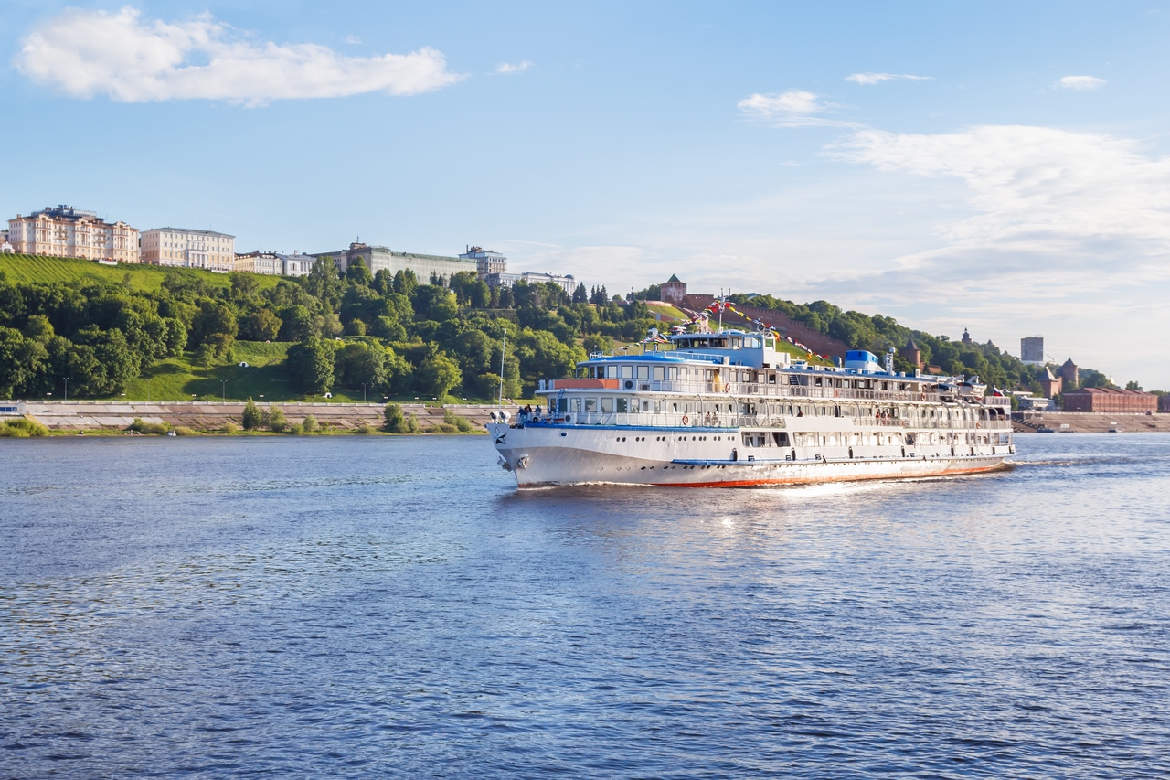
.The river basin in its upper reaches covers the Tver, Moscow, Yaroslavl, Ivanovo, Kostroma and Nizhny Novgorod regions. Descending from the gentle Valdai Upland, the water flow rushes to the northeast, capturing small lakes that are included in the water area of the Verkhnevolzhskoye Reservoir.
.
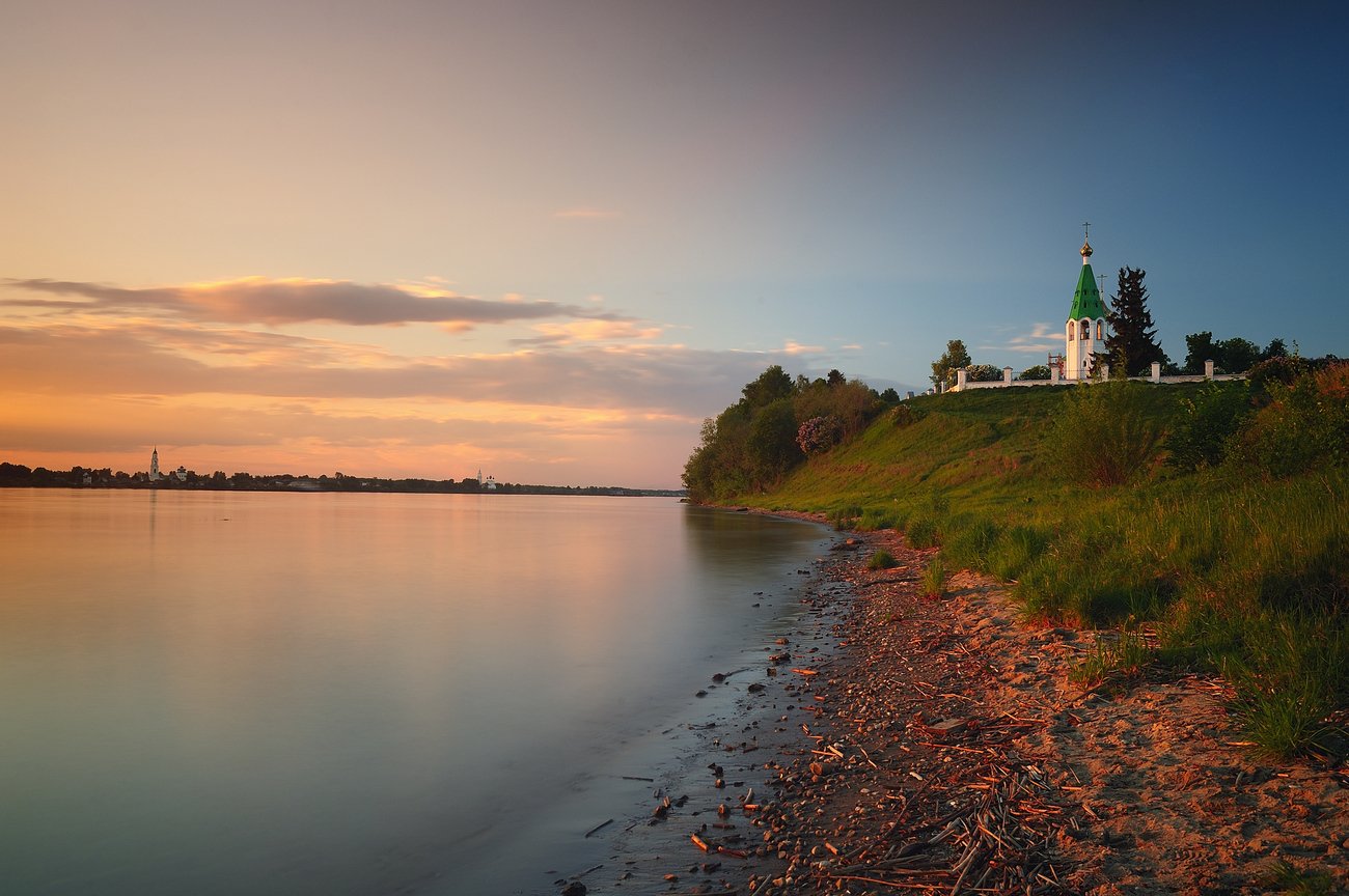
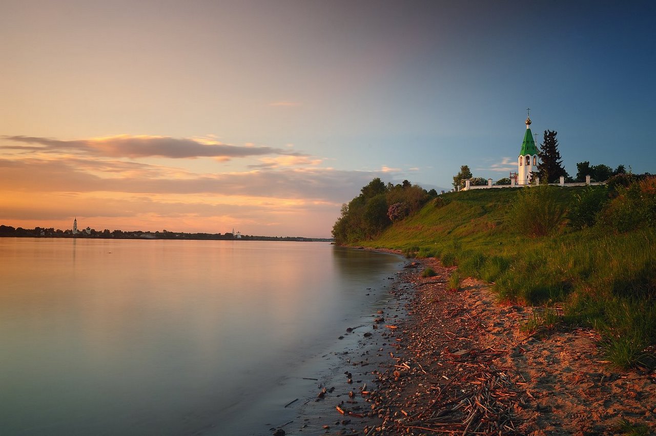
In the upper reaches of the “main street of Russia” are located ancient cities – Uglich, Yaroslavl, Kostroma, Tver, Nizhny Novgorod. They attract tourists with ancient history, unique architectural sights, museums. In the same region there is also the city of Rybinsk. It was once known as the capital of burlaks, and nowadays it has become famous thanks to the giant Rybinsk Reservoir, covering an area of 4550 km². On the Rybinsk Reservoir, which is often called the sea, there are good places for fishing and beach recreation, guests are welcomed by campsites, recreation centers. You can stay comfortably, for example, in the park-hotel “Buchta-Koprino.”
.Attractive beaches are in Tver and the Tver region. It is here, on the border with the Moscow region, is located the famous tourist cluster “Zavidovo”. On the pine-surrounded shore of the Uglich reservoir, near the ancient town of Kalyazin, there is a wonderful glamping “Forest and Sea” – a tented mini-hotel of premium class. The idyllic town of Ples, whose landscapes are famous for paintings by Levitan, boasts cozy well-groomed beaches with soft sand, good conditions for recreation with children. Attractive and coastal corners in the vicinity of Kostroma.
.Middle Volga
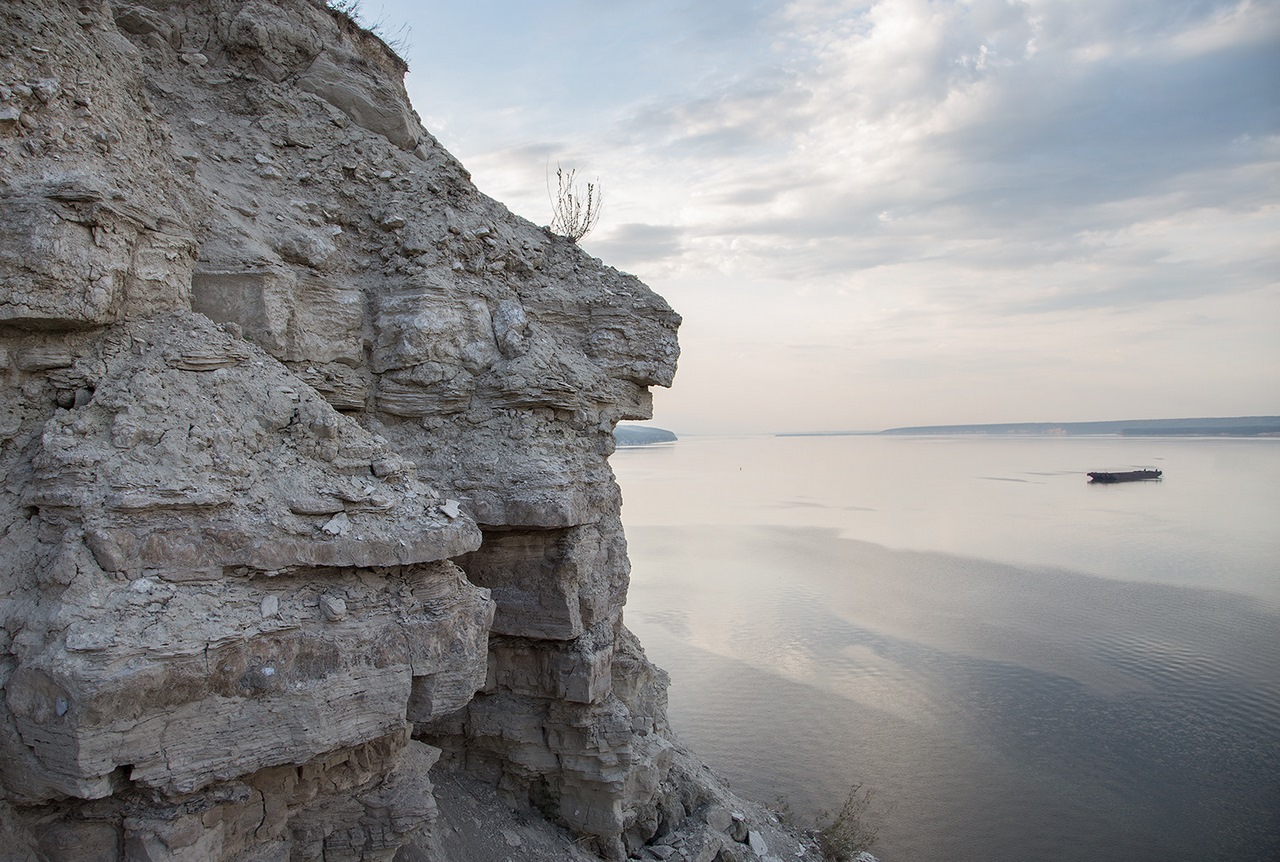
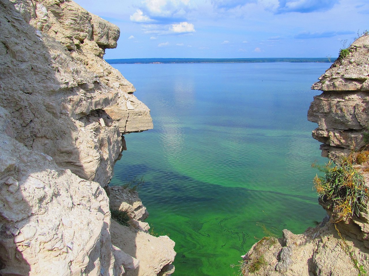
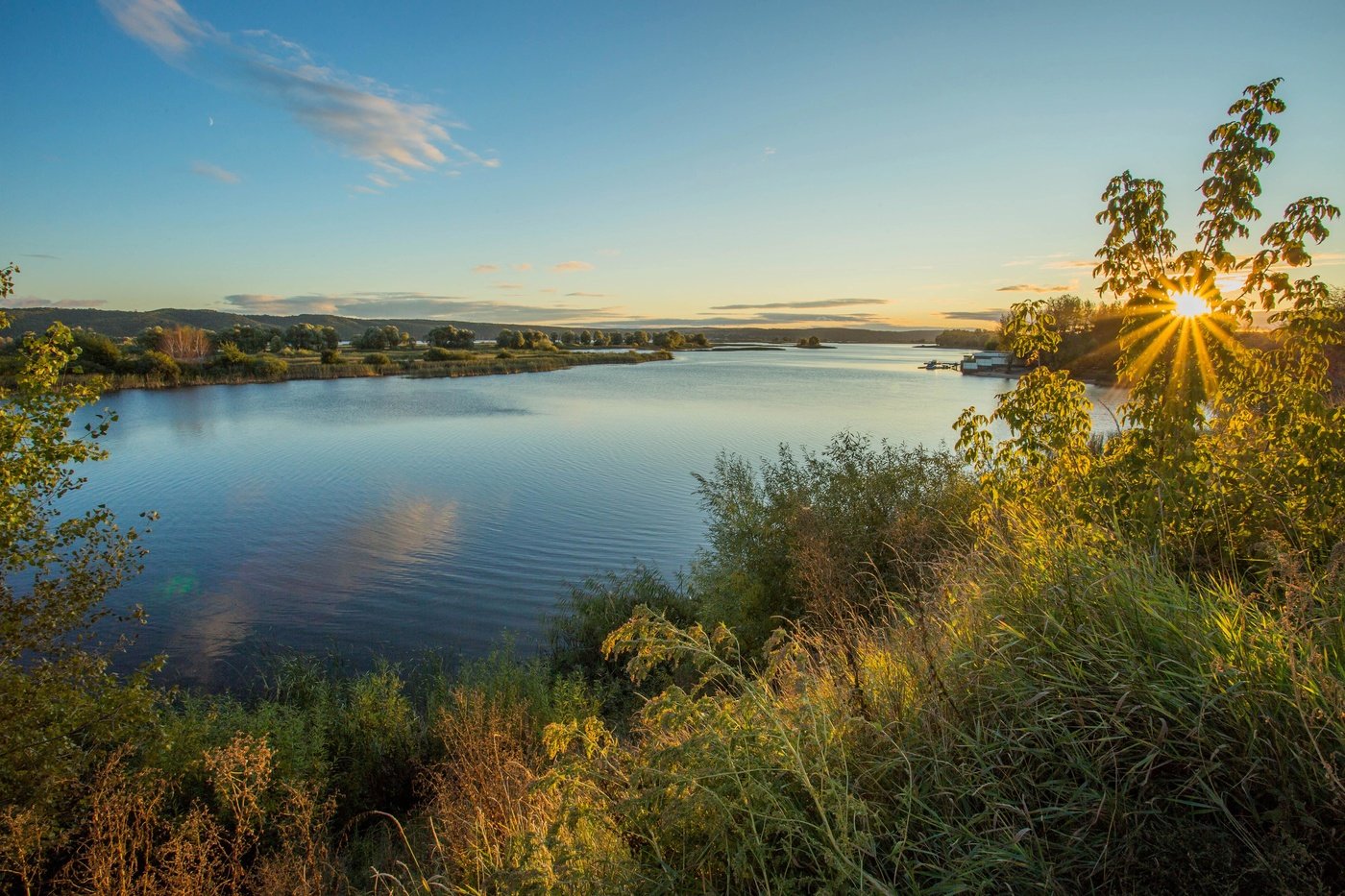
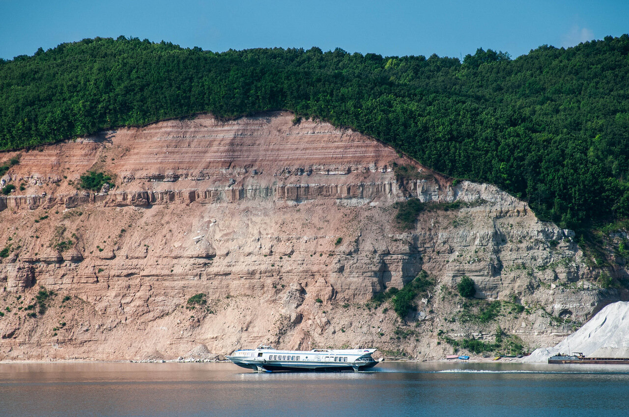
The notional border of the Middle Volga runs near Nizhny Novgorod, from the place where it meets the Oka. It is then filled by the waters of the Sura, Vetluga, and Sviyaga. The river becomes more and more full-flowing, its bed expands, reaching a width of 600 meters to 2 kilometers. In the middle reaches the territories of the Republic of Mari El, Chuvashia, Tatarstan, part of the Nizhny Novgorod region. In this location, the outlines of the right bank are predominantly precipitous, in some places picturesque cliffs rise on the bends. The left bank is gentle, mostly covered with sand, but in some sections their smoothness is broken by clay slopes.
.
The ancient city of Kazan, the capital of Tatarstan, is located in the middle reaches of the river, at the confluence of the Kazanka River. The length of the Volga within the republic is 200 kilometers. In this water area there are many small islands, including the Sviyazhsky Islands, which includes the island-town of Sviyazhsk. It is called the prototype of the fairy-tale island of Buyan. Many Orthodox architectural monuments have been preserved here, many dating back to the 16th century.
.
On the shores of the Middle Volga, vacationers can find landscaped and wild sandy beaches. Noteworthy is the beach “Svoi Dubai”, located on the left bank of Cheboksary. It is covered with snow-white fine sand and fringed with age-old pine trees. There is a picturesque place in Tatarstan, which is called Venice. This romantic location with islets and canals is located near the village of Pobedilovo.
.Lower Volga
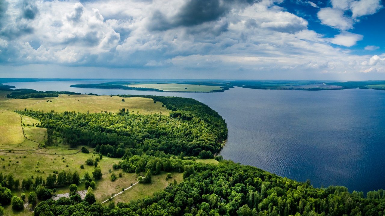
On the territory of the Republic of Tatarstan, below Kazan, the Volga meets the Kama. This place is near the village of Kamskoe Ustye. From here the basin of the Lower Volga begins. At the mouth of the Kama, the Volga reaches its maximum latitude, with floods up to 42 kilometers. Joining, the two rivers fill the Kuibyshev Reservoir, the largest in Eurasia and the third largest in the world in terms of water mirror area – 6450 m².
.The surroundings of Kamsky Ustye are incredibly picturesque and attract lovers of hiking and camping. There are no facilities on the local pebble beaches, but there are no crowds of tourists either. Gentle shores in this area pass into uplands. A local landmark is Lobach Mountain 136 meters high. Near it there are 13 archaeological monuments – prehistoric sites. In Kamsko-Ustinsky district there is also Yuryevskaya cave, the only one in Tatarstan available for tourists. Next to it, gypsum adits, popular among lovers of underground travels, lead to the Volga River.
.
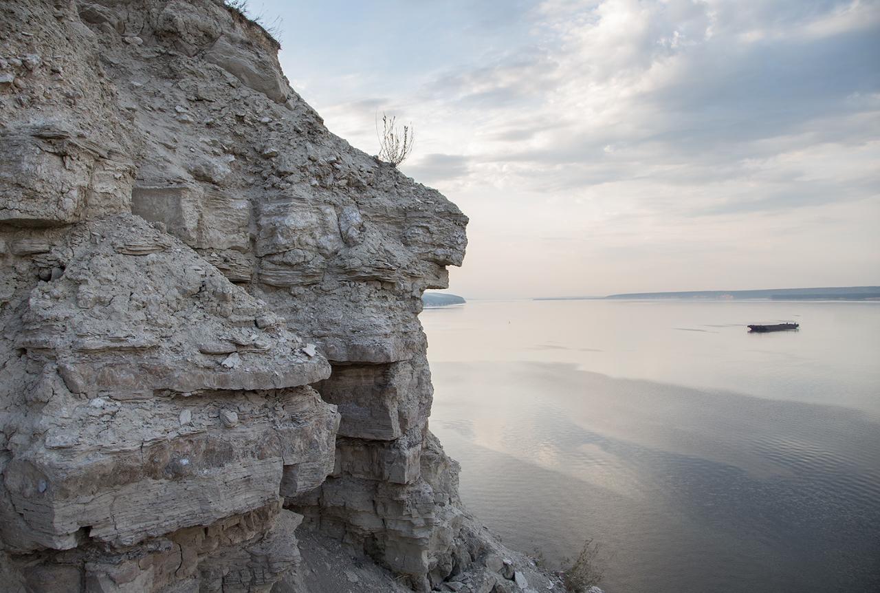
The cities of Togliatti, Ulyanovsk, Zelenodolsk, Dimitrovgrad, and about 2000 small villages are located on the shores of the Kuibyshev Reservoir, which is also called the Zhigulev Sea. On the shores of a huge body of water are located campgrounds, campsites, guest houses. Beach recreation and fishing are popular here. Well-equipped locations – the city beach of Ulyanovsk, Italian beach in Togliatti, a kilometer-long sandy strip near the village of Laishevo.
.
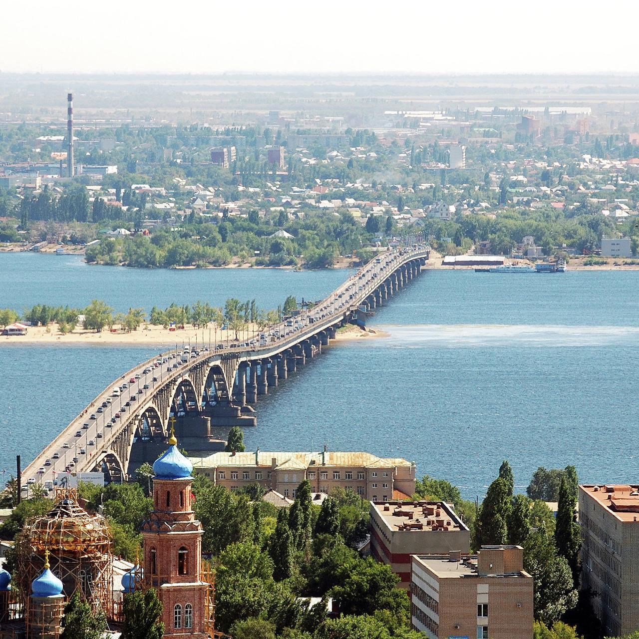
Half of the water mirror of the Kuibyshev Reservoir belongs to the Republic of Tatarstan, it also occupies parts of the territory of the Ulyanovsk, Samara regions, the Republic of Mari El, Chuvashia. Further the Volga carries its waters through the Saratov, Volgograd, Astrakhan Oblasts and Kalmykia. In the Saratov region its width reaches 20-25 km in some places. The Volgograd Reservoir stretches in the southern part of the river’s course, and the Saratov Reservoir in the northern part. The banks of the former are connected by the remarkable Saratov Bridge, linking the city of Saratov with its satellite – Engels, where one can find wonderful sandy beaches, municipal and paid.
.
.
The giant delta of the Volga River is the largest river delta in Europe and the 8th on the planet. Its total area is 13,900 km². In this unique place in 1919, the Astrakhansky Reserve was established. Today its territory is inhabited by over 280 species of birds and about 60 species of fish. In the reserve one can meet many birds listed in the Red Book, including dalmatian pelicans, Egyptian herons, white cranes. Flamingos periodically come here during migration. The reserve is also famous for its valley of lotuses that bloom incomparably in July.
.
The Volga Delta is the center of commercial production of valuable fish species, including sturgeon. Recreational fishing is also very popular here, but it is strictly regulated and not allowed in all places.
.
Tourist routes
A river cruise is the best way to discover the Volga, to get acquainted with the sights of the ancient cities on its banks. The duration of navigation on some parts of the long river varies, but most of its water area usually freezes for 3 winter months. In its upper reaches, the Volga is completely free of ice for 200 days a year, and 260 days in the Astrakhan area.
.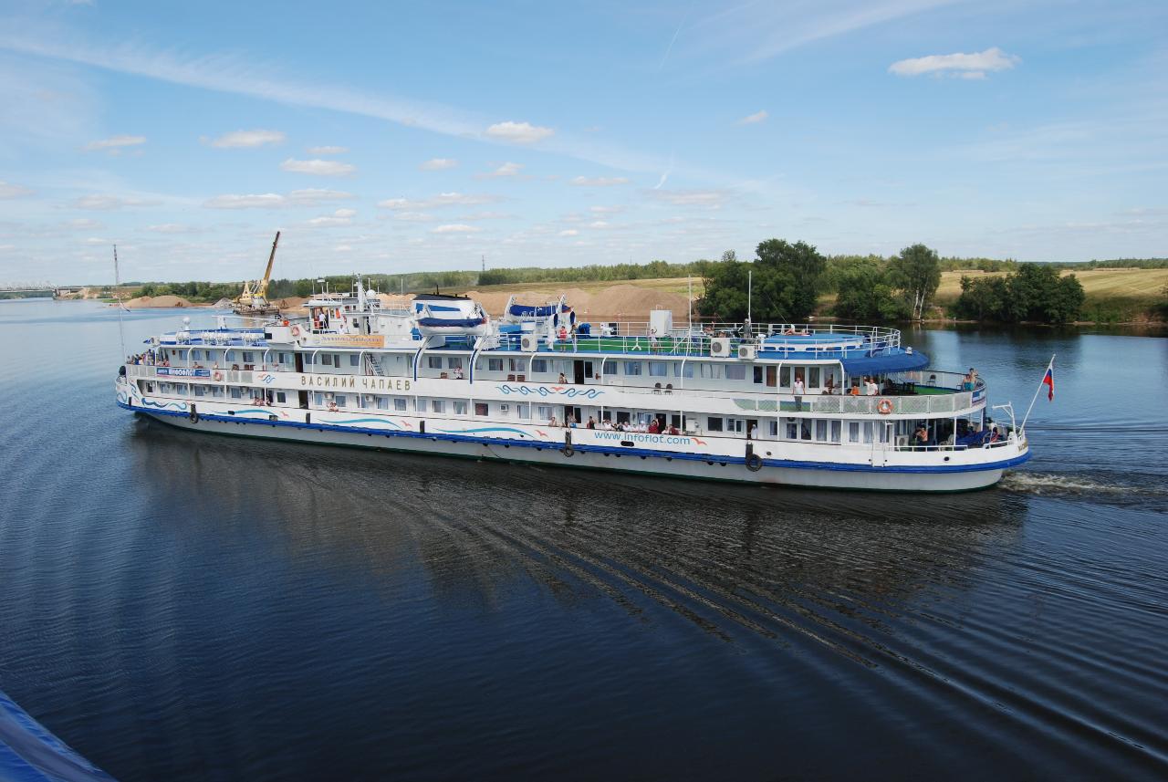
A 2-week circular route from Volgograd along the Volga and Kama is interesting. Motor ships also run between Samara, Saratov and Kazan. Such cruises take a couple of days. Regularly from the settlements scattered along the coast of the Kuibyshev Reservoir, 1-2-hour boat tours to the places of interest in this water area are sent. You can rent a boat or a yacht for trips along the Volga River in different coastal towns. The river is also rafted on kayaks, catamarans, rafts.
.Along the river runs the federal highway M7 “Volga”. It connects Moscow and Ufa, passing through major Volga cities such as Nizhny Novgorod, Kazan, Cheboksary. In 2017, the ambitious project “The Great Volga Way” was launched, modeled after the Golden Ring and the Silver Necklace. Today, the interregional tourist route unites 20 destinations within the Volga Federal District, in the area of the historic Volga Trade Route.
.