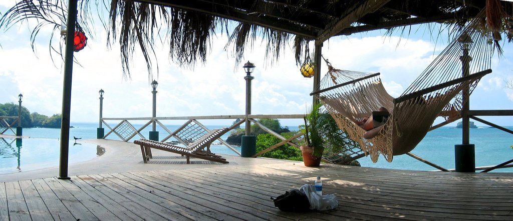
Pearl Islands (Las Perlas)
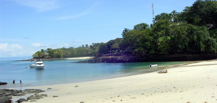
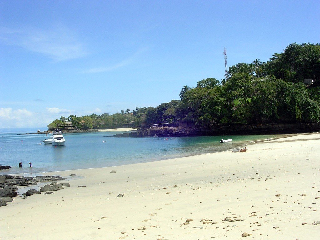
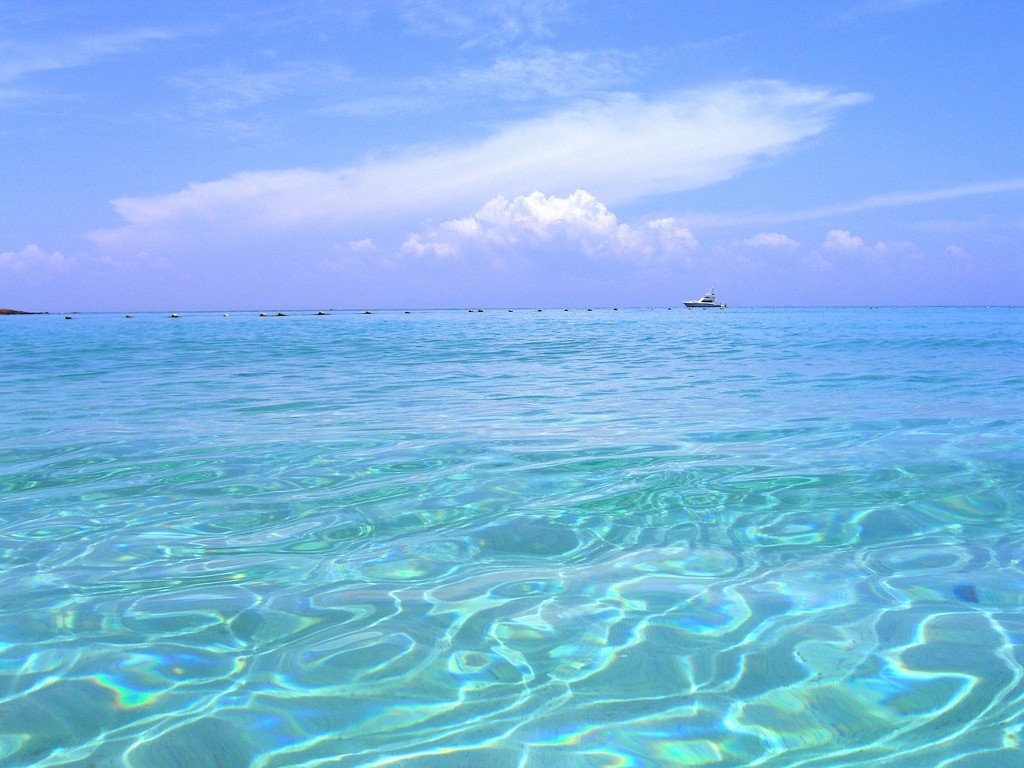
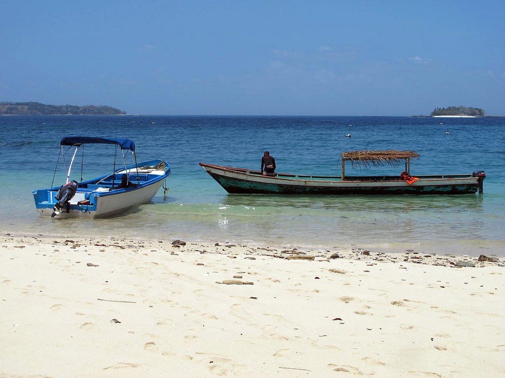
The Pearl Islands are a group of islands in the northeastern part of the Gulf of Panama of the Pacific Ocean, 70 kilometers southeast of Panama City. They belong to the Republic of Panama. The total area is 329.2 km². It includes 16 large and about two hundred small islands (a total of 90 islands have names). The largest of these is Isla Rey, a pearl fishing center; Isla Contadora is known as a resort.
General information
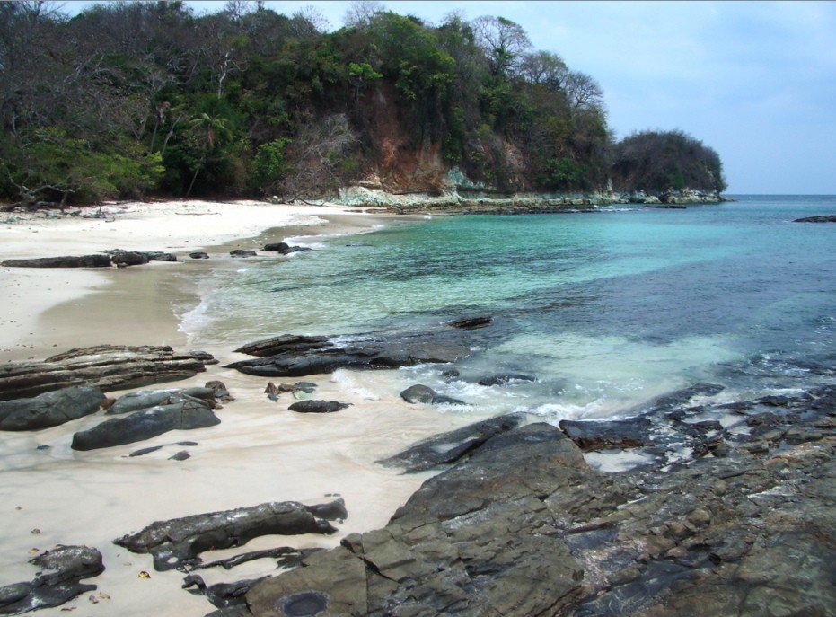
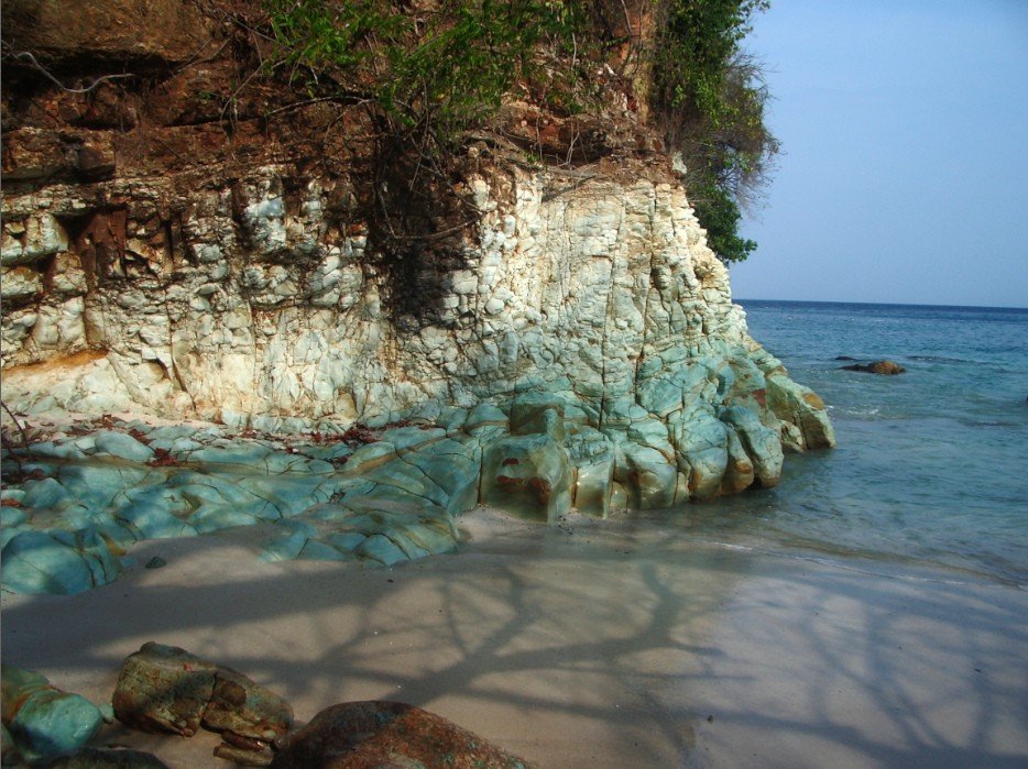
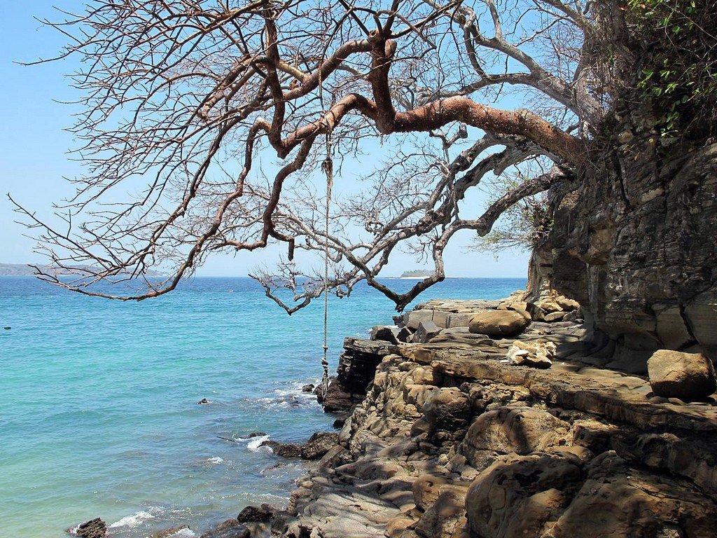
The outermost islands of the archipelago are: north – Pacheca Island, south – Galera Island, east – Puercos Island, west – San Jose Island. The largest islands are Rey (with an area of about 232 km²), San Jose, Pedro Gonzalez, Viveros, Cañas, Bayoneta, Casaya, Saboga, Chapego, Contador, Santelmo and others. The relief of the islands is low-lying, the highest point – 206 m is located in the north-western part of Rey Island. The coastline is strongly indented. Part of the islands is surrounded by reefs. Air temperature on the islands during the year fluctuates in the range of +20..+30 ° C, distinguish between dry and wet seasons.
.History
The islands were discovered in 1513 by the Spanish conquistador Vasco Nunez Balboa. After discovering a new ocean, he encountered an Indian boat encrusted with pearls. The Indians told him of islands rich in pearls. The conquistador named these islands the Pearl Islands and declared them the property of the Spanish king.
.
One of the islands produced La Peregrina, considered the largest pearl in the world. In the mid-seventeenth century, the islands were called the Royal Islands (las islas del Rey). Because of the wealth of the islands and the presence of many hidden bays and coves, pirates from England, Portugal and France often stopped in the archipelago. In 1938, the clams from which pearls were harvested were destroyed by a red tide. As of 2003, pearl mining on the islands has not resumed.
.