El Yerro Island
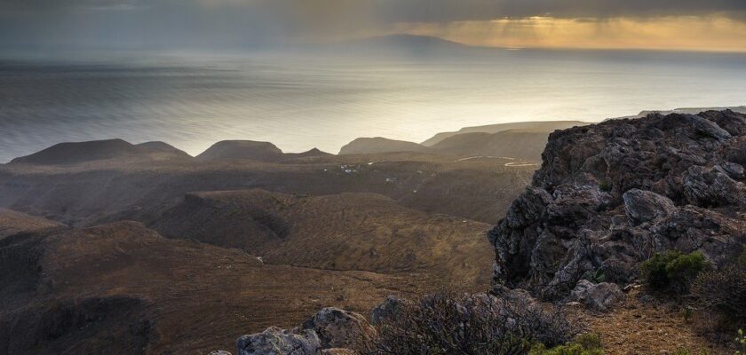
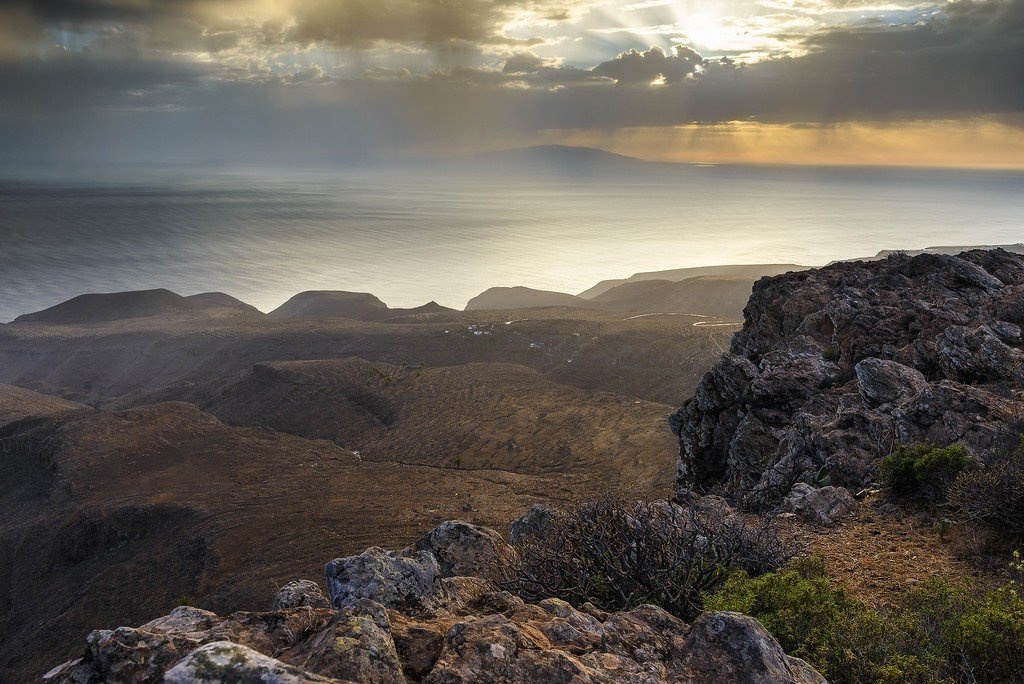
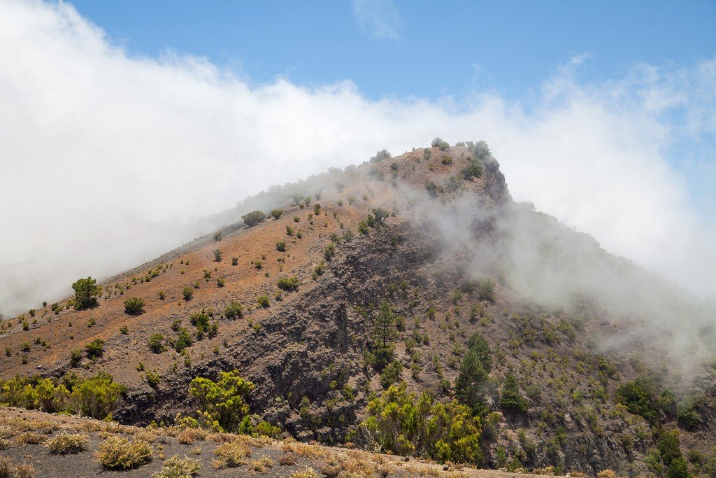
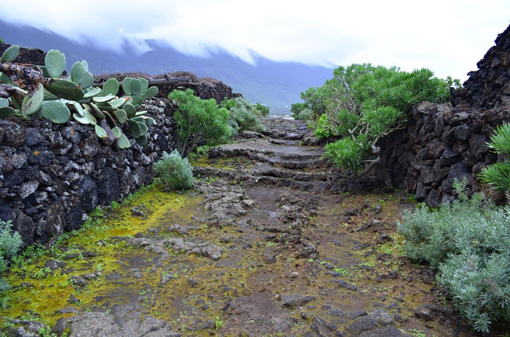
El Hierro is the smallest and southwesternmost island of the Canary archipelago. It has an area of 280 km². The island is part of the administrative province of Santa Cruz de Tenerife. The island is characterized by the highest density of volcanoes in the Canaries, but the last eruption here occurred more than 200 years ago. There are more than 500 craters on the surface of El Hierro Island, with another 300 closed by lava flows. There are no good beaches on the island, but there are quiet and absolutely untouched by civilization. The scenery of the island is unusually exciting. The road connects the airport, the port and the capital of the island Valverde, and then crosses the whole island and goes to El Golfo. A tunnel connects the capital to Frontera. Secondary roads take you to interesting parts of the island, but there is no road along the coast on El Yerro. Tourists arrive at the airport from Tenerife or Gran Canaria. Ferries from the islands arrive at Puerto de la Estaca.

Video: El Hierro
Exploring the island
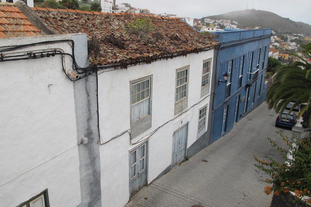
The port and airport are close to Valverde, the island’s capital, located off the coast. Valverde is located 700 meters above sea level – in the old days this protected the city from pirate raids. Valverde is a small town. In the center of it stands the church of Nuestra Señora de la Concepcion. There is nothing much to see here, although you can visit the Casa de las Quinteras mansion (open: Mon-Fri 9.00-14.00, Sun 10.00-13.30) and get acquainted with folk crafts of the island. But you’ll enjoy the many bars and restaurants on El Hierro. From the bus station, buses take you to other parts of the island. If you drive, take the scenic road across the island to the small town of San André and from there drive up to the mirador de la Peña in the northern part of El Golfo. These rocks were once part of a huge volcanic crater, but about 50,000 years ago part of the crater slid into the sea, leaving behind a fertile valley and a huge bay. On the mirador is a restaurant built by Se-zar Manrique. The views from there are spectacular.
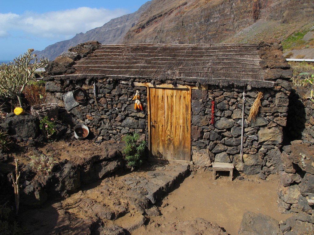
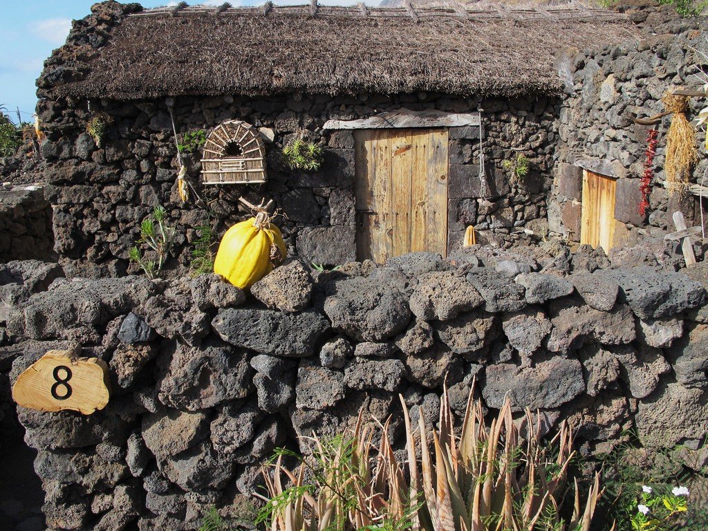
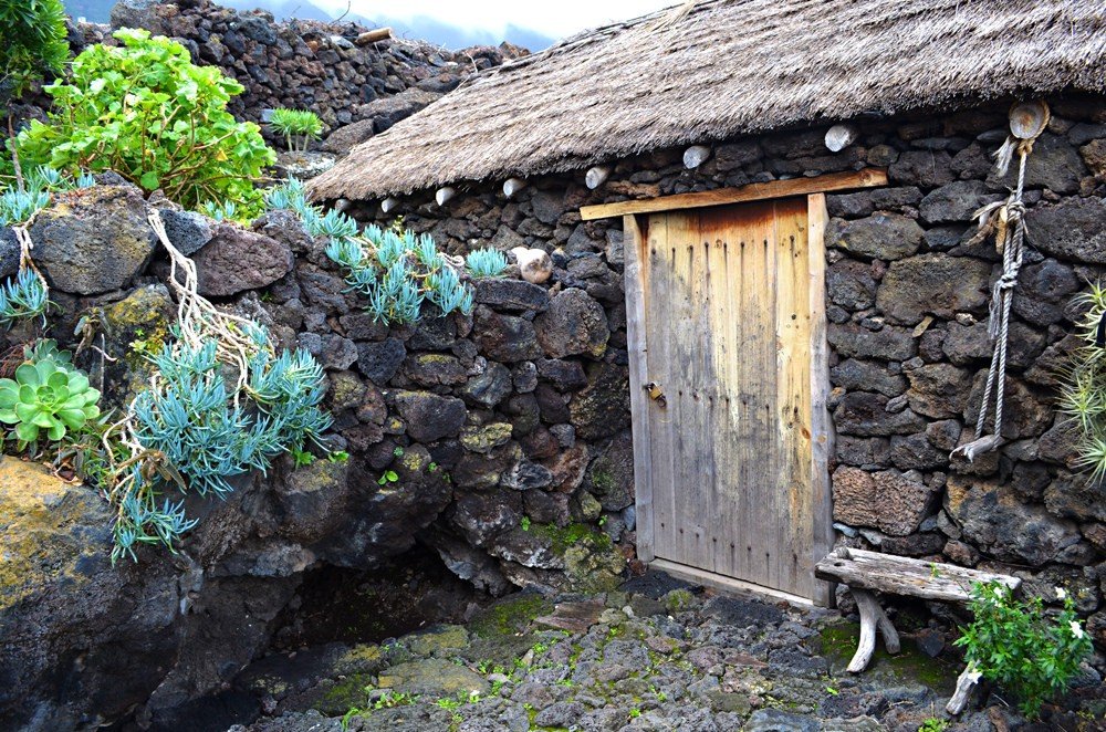
.You can head through the Moncanal Tunnel from Valverde to Frontera. The main attraction of this town is the Church of Nuestra Señora de la Candelaria, with a freestanding bell tower built right on the crater of the volcano. Near Frontera on the coast there is a reserve of giant lizards Lagartario (open: July – September Sat 10.30-14.30, 17.00-19.00, Sun 11.00-14.00; October – May Sat 10.00-14.00, 16.00-18.00, Sun 11.00-14.00, entrance fee). Here you can also visit the Ecomuseum Guinea (open: July – September wt-sb 10.30-14.30, 17.00-19.00, ws 11.00-14.00, entrance fee), which recreates Canarian dwellings from the time of Spanish colonization to the XX century.
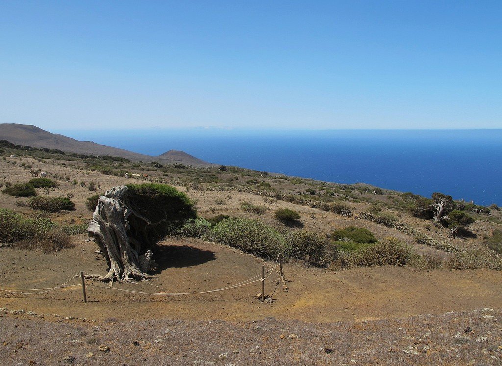
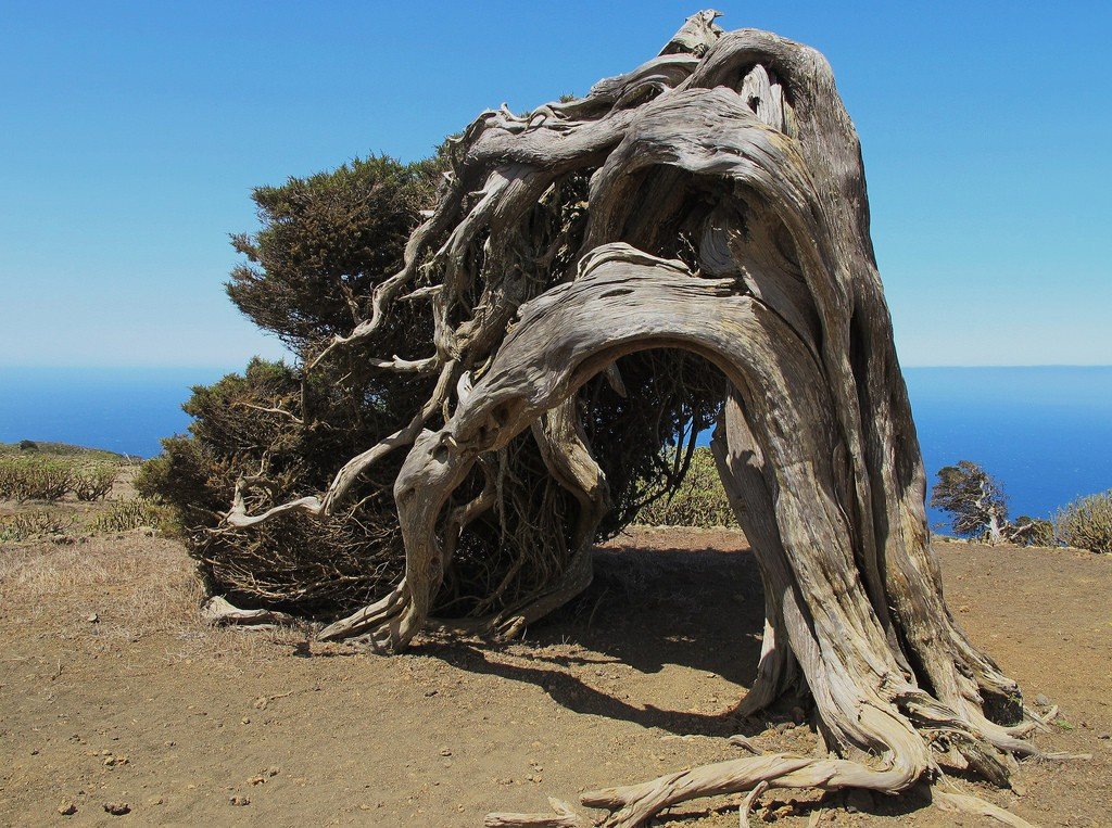
.A little to the west is the pretty town of Sabinosa, the secluded monastery of Nuestra Señora de los Reyes and the juniper forest of El Sabinal. The juniper trees (sabinosas), twisted and tangled by strong winds, are an extraordinary sight. Very close by is Cape Punta Orcilla – once the zero meridian passed through this point, which in the XIX century was moved to Greenwich. From here the road leads to the best beach on the island, Playa del Verdal..To reach the southeastern part of El Hierro, one must return to the central axis and then drive through green pastures and pine forests to the town of El Pinar.
.The town is famous for its ceramics and curious jewelry. Next, the road follows the rugged volcanic plain to the fishing village of La Restinha. There is a dive center on the black volcanic beach, and the village itself has several good fish restaurants. The neighboring bay of Baia de Naos is a marine nature reserve.
.A diver’s paradise
In 2000. UNESCO declared El Hierro and its coastal waters a biosphere reserve. All forms of life are protected in this area. The picturesque underwater landscapes and the abundance of marine life make the island the best diving destination in Spain.
.