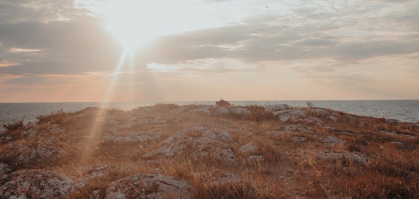
Sea of Azov
This attraction is related to the countries:RussiaUkraineSea of Azov is a northeastern side basin of the Black Sea, with which it is connected by the Kerch Strait (Bosphorus Cimmerian in ancient times, 4.2 km wide). It is the shallowest sea in the world, its depth does not exceed 15 meters.

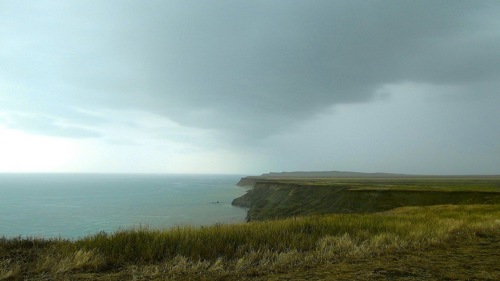
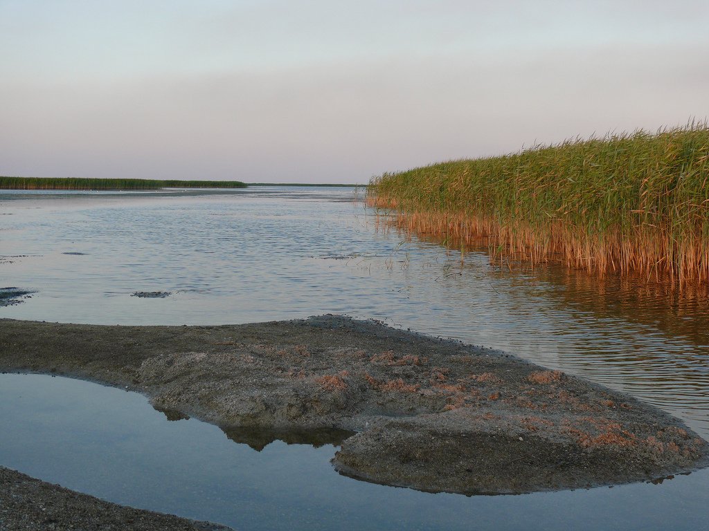
General information
In ancient times, the Sea of Azov was called by the Greeks Meotian Lake (Greek: Μαιῶτις), by the Romans Palus Maeotis, by the Scythians Kargaluk, by the Meotians Temerinda (surn. mother of the sea); then the Arabs have Nitshlakh or Baral Azov, the Turks have Baryal-Assak or Bahr-Assak (Dark Blue Sea; in modern Turkish Azakdenizi), the Genoese and Venetians have Mare delle Zabacche (Mare Tape). The extreme points of the Sea of Azov lie between 45°12′30″ and 47°17′30″ north latitude and between 33°38′ (Sivash) and 39°18′ east longitude. Its greatest length is 343 km, greatest width 231 km; coastline length 1472 km; surface area 37605 km². (This area does not include the islands and spits, which occupy 107.9 square kilometers).)
Morphologically, it belongs to flat seas and is a shallow body of water with low coastal slopes.
.In terms of distance from the ocean to the mainland, the Sea of Azov is the most continental sea of the planet. The underwater relief of the sea is relatively simple. As one moves away from the coast, the depths slowly and smoothly increase, reaching 14.4 meters in the central part of the sea. The main area of the bottom is characterized by depths of 5-13 m. The area of the greatest depths is located in the center of the sea. The location of isobaths, close to symmetrical, is broken by their slight extension in the northeast towards Taganrog Bay. The 5 m isobath is located about 2 km from the shore, moving away from it near Taganrog Bay and in the bay itself near the mouth of the Don. In Taganrog Bay the depths increase from the mouth of the Don (2-3 m) towards the open part of the sea, reaching 8-9 m at the border of the bay with the sea. In the relief of the bottom of the Sea of Azov there are systems of underwater elevations stretching along the eastern (Zhelezinskaya Bank) and western (Morskaya and Arabatskaya Banks) coasts, the depths above which decrease from 8-9 to 3-5 meters. The underwater coastal slope of the northern coast is characterized by a wide shallow water (20-30 km) with depths of 6-7 m, while the southern coast is characterized by a steep underwater slope to depths of 11-12 m.
.
The catchment area of the Azov Sea Basin is 586,000 km². The sea shores are mostly flat and sandy, only on the southern shore there are hills of volcanic origin, which in some places turn into steep forward mountains.
.
Sea currents are dependent on the very strong northeast and southwest winds blowing here and therefore change direction quite often. The main current is the counterclockwise circular current along the shores of the Azov Sea. The Sea of Azov ranks first in the world in terms of biological productivity. The most developed are phytoplankton and benthos. Phytoplankton consists (in %) of: diatoms – 55, peridinium – 41.2, and blue-green algae – 2.2. Molluscs dominate among the benthos biomass. Their skeletal remains, represented by calcium carbonate, have a significant specific weight in the formation of modern bottom sediment and accumulative over-water bodies.
.Hydrochemical features of the Sea of Azov are formed primarily under the influence of abundant inflow of river water (up to 12% of water volume) and difficult water exchange with the Black Sea.
Sea salinity before the Don was regulated was three times less than the average ocean salinity. Its value on the surface varied from 1 ppm at the mouth of the Don to 10.5 ppm in the central part of the sea and 11.5 ppm near the Kerch Strait. After the creation of the Tsimlyansky hydrosystem, the sea salinity began to increase (up to 13 ppm in the central part of the sea). Average seasonal fluctuations of salinity values rarely reach 1%.The water contains very little salt. For this reason, the sea freezes easily, and so until the advent of icebreakers, it was not navigable from December to mid-April.
.
During the 20th century, almost all more or less large rivers flowing into the Sea of Azov were dammed to create reservoirs. This led to a significant reduction in the discharge of fresh water and silt into the sea.
.
