Sargasso Sea
Sargasso Sea is an area of the anticyclonic water cycle in the Atlantic Ocean, bounded by the Gulf Stream in the west, the North Atlantic Current in the north, the Canary Current in the east, and the North Passat in the south.
General information
The Sargasso Sea is located between 23-35°N and 30-68°W. The sea has an area of 6-7 million km² (depending on the position of the currents). In the northwestern part are the volcanic Bermuda Islands. Water temperature at the surface is 18-23 °С in winter, 26-28 °С in summer. Salinity 36,5-37 ‰. Most of the bottom is located in the North American Basin with depths of more than 6,000 meters; the maximum depth is 6,995 m.
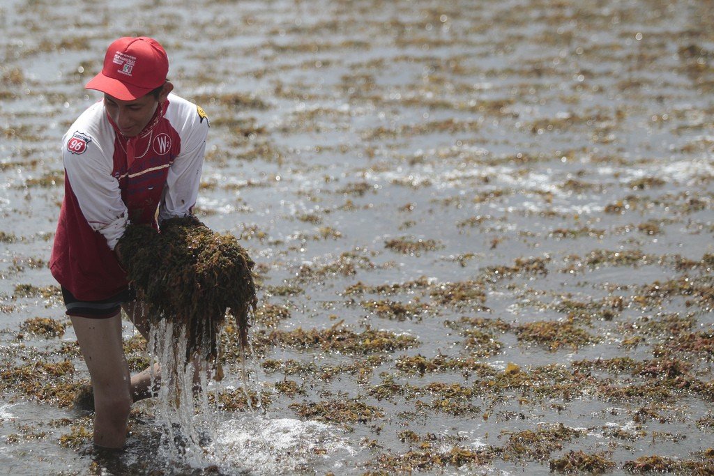
.Large accumulations of floating brown algae – sargassum, within the sea its stock is estimated at 4-11 million tons. Their abundance is associated with the presence in the Sargasso Sea zone of convergence of surface currents. There are numerous and diverse animals, partly free-swimming (mackerel, flying fish, sea needle, crabs, sea turtles, etc.), partly attached to algae (actinia, bryozoans, etc.). The water of the Sargasso Sea, once exceptionally clear (transparency up to 60 meters), is now heavily polluted with fuel oil. The name comes from the Portuguese word Sargaso, “bunch of grapes.”
.