Mekong Delta
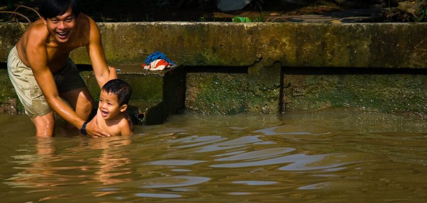
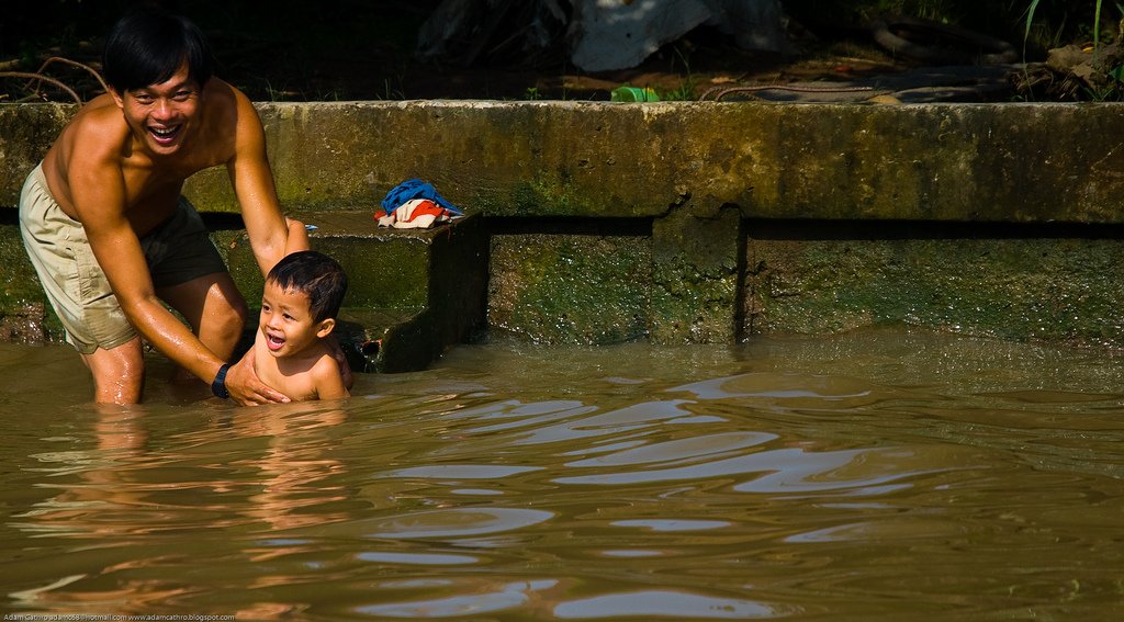
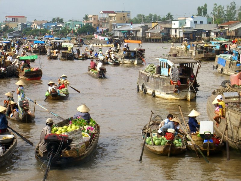
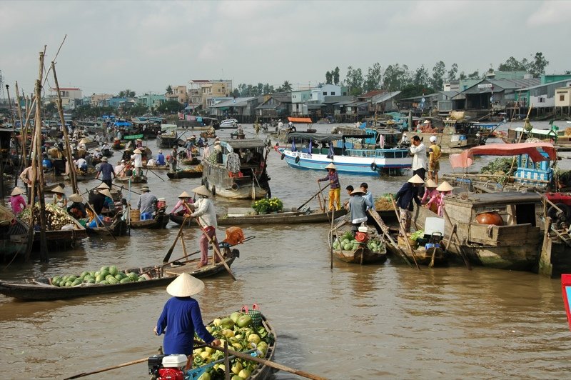
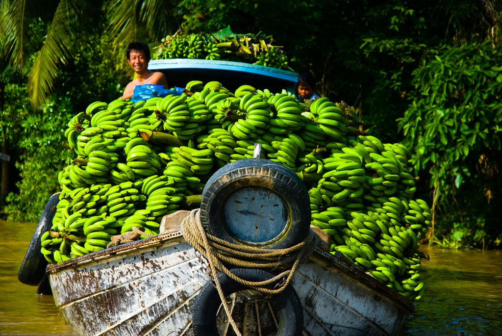
The Mekong River Delta is the place where you can most fully experience the exoticism of Vietnamese life. Broken into a thousand branches before flowing into the sea, the Mekong is to Vietnam what the Nile is to Egypt – the cradle of civilization, the breadwinner of numerous coastal inhabitants (some 17 million) and one of the most powerful magnets for tourists.

General Information
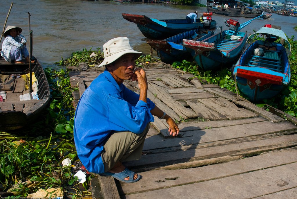
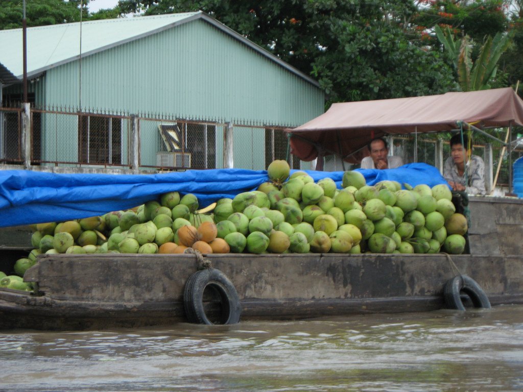
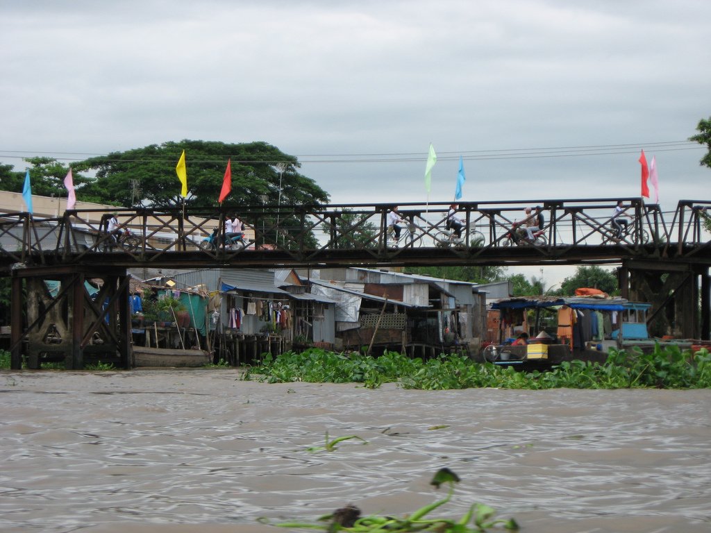
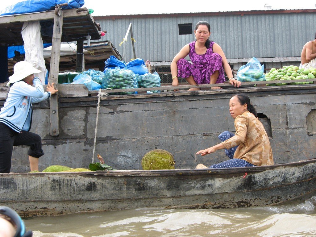
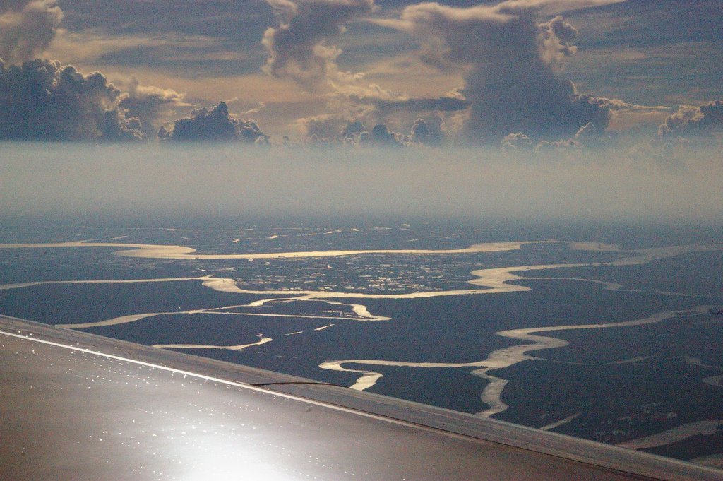
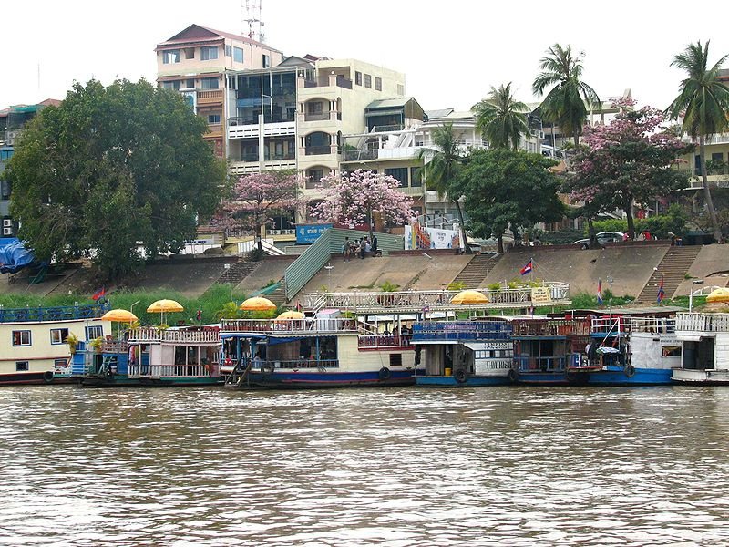
A vast maze of channels, islands, swamps and mangroves precedes the great river’s meeting with the South China Sea. The area of the largest river delta in Southeast Asia reaches 40,000 km², which is the territory of 19 provinces of Vietnam. Crossing the border between Vietnam and Cambodia, the Mekong branches into nine large branches, earning the Viets the nickname of Cuu Long – “River of Nine Dragons”. The largest “dragons” are the Haujiang and Tienjiang rivers. The closest delta city to Ho Chi Minh City is called My Tho (My Tho). To the east of it lies the city of Canto (Can Tho), and between these two points is Vinh Long (Vinh Long) – the heart of the delta, famous for glutinous varieties of Nep rice, without which it is impossible to prepare the much-loved Vietnamese rice “cakes” with fillings.
.
What to see
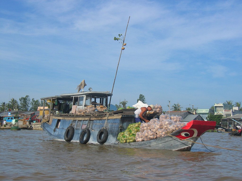
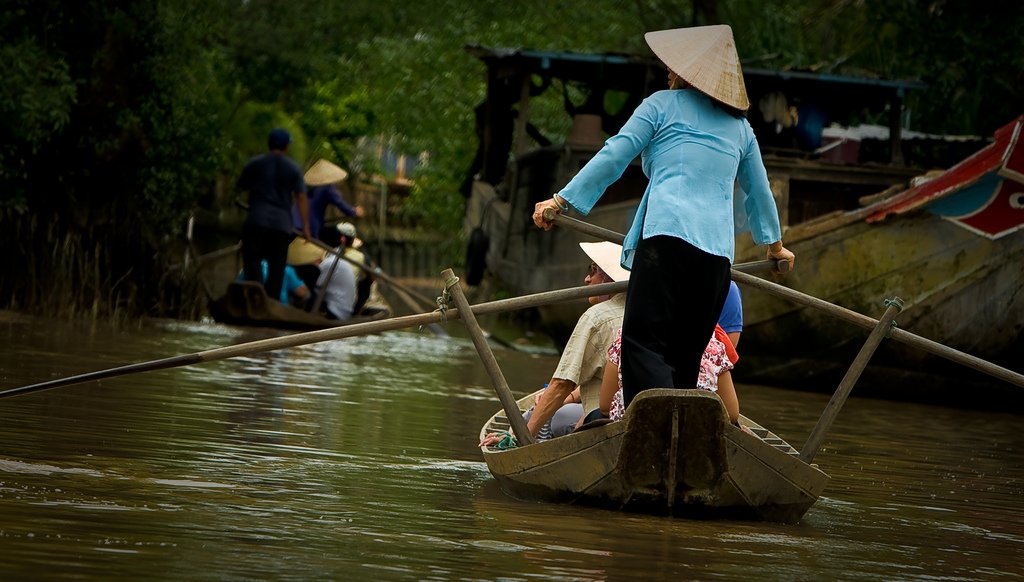
The city of Mito, the eastern border of the delta, is a 2-hour bus ride from Ho Chi Minh City on Highway 1. There is a ferry service between the cities (boats depart from Saigon’s Bat Dang Pier), but there is no clear timetable and the journey takes more than twice as long. There is nothing remarkable in the city itself, except for a fruit market on the banks of the Bao Dinh Canal. Mito is the closest place to Ho Chi Minh City from where you can take a boat trip along the delta channels.
.
From Kanto, Highway 1 heads southwest to end at Nam Can township in Kamau province, 2,301 km from its beginning. The province occupies the southern bulge of the Indochina Peninsula and forms part of Vietnam’s small west coast facing the Gulf of Thailand. Here is the southernmost point of the country, Cape Camau (Mui Sa Mai, 8°37′ N, 104° 43′ E). This remote place is about 125 kilometers from the provincial town of Kamau. Residents of Dat Mui, the nearest village to the cape, and other coastal communities are engaged in fishing and shrimp farming in lagoons isolated from the sea. Sixteen kilometers south of Cape Kamau is Hon Khoai Island with a lighthouse built in 1904
.
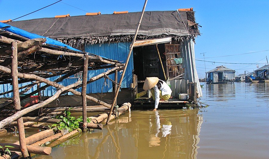
The coast of Câmau Province is particularly rich in mangroves: of Vietnam’s 400,000 hectares of mangrove forests, 300,000 are here. Common mangroves here are neighboring with thickets of avicenia, which here are called mam, or black mangroves. The area around Cape Camau is declared a national park, which preserves about 200 species of fauna and 60 species of plants.
.Traveling northwest from Kanto, one can reach the town of Rach Gia (Rach Gia, 114 km from Kanto). It is the largest Vietnamese port on the Gulf of Thailand coast and maintains a regular sea connection to Phu Quoc Island.
Ratchia is not rich in attractions, but 92 km north of it is the interesting town of Hatien (Na Tien). It is separated from the Cambodian border by only 8 km. This territory once belonged to the Khmer state, but in 1708 the town was voluntarily surrendered to Vietnam by the Chinese governor Ma Kyu. The Ma clan ruled Hatien for two centuries, and their family cemetery is one of the city’s most interesting sights. There are several temples in and around the city, including two 18th century pagodas and the cave Buddhist shrine of Tach Dong (Tach Dong, 4 km north of Hatien).
.There are several attractive beaches along the coast, and within 30 km south are two groups of picturesque grottoes Mo So-Hang Tien and Phu Tu Island, called the “Halong of the South”. In clear weather, Phu Quoc Island is visible from Hatien, which can also be reached by sea.
.