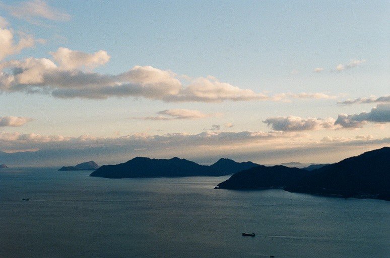
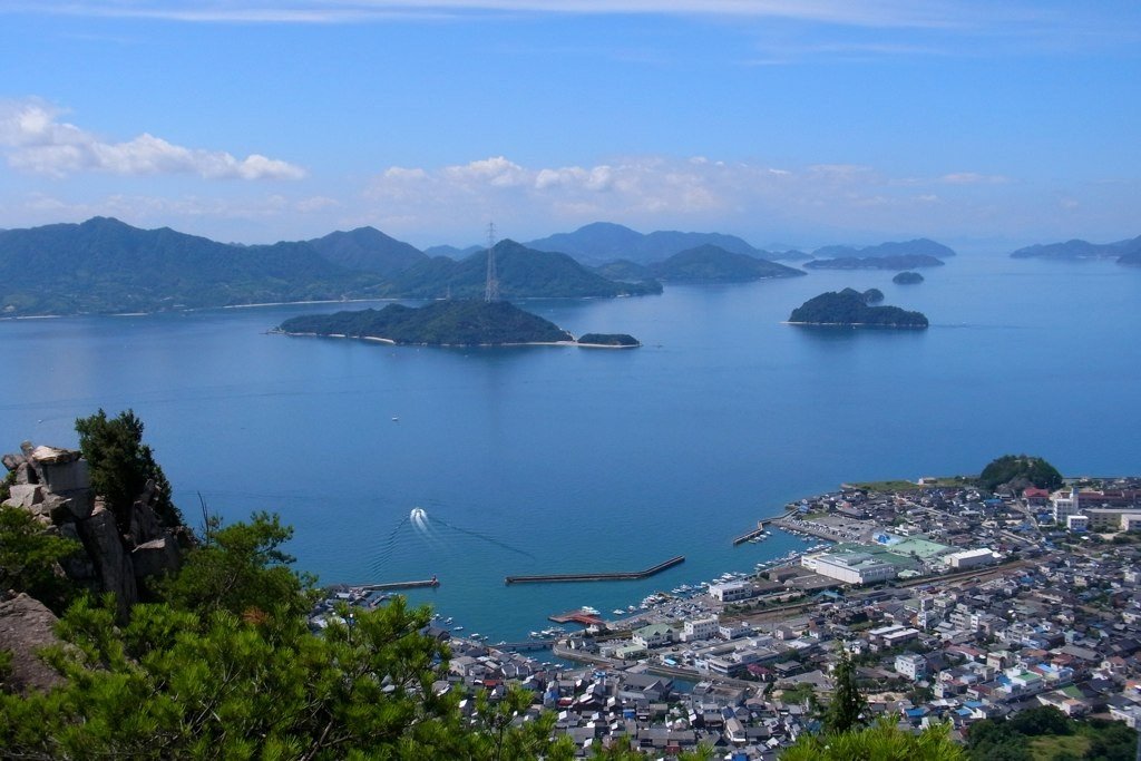
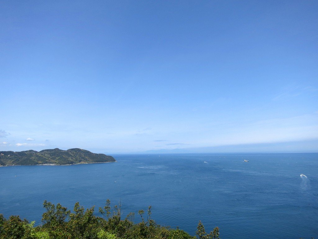
Seto Inland Sea
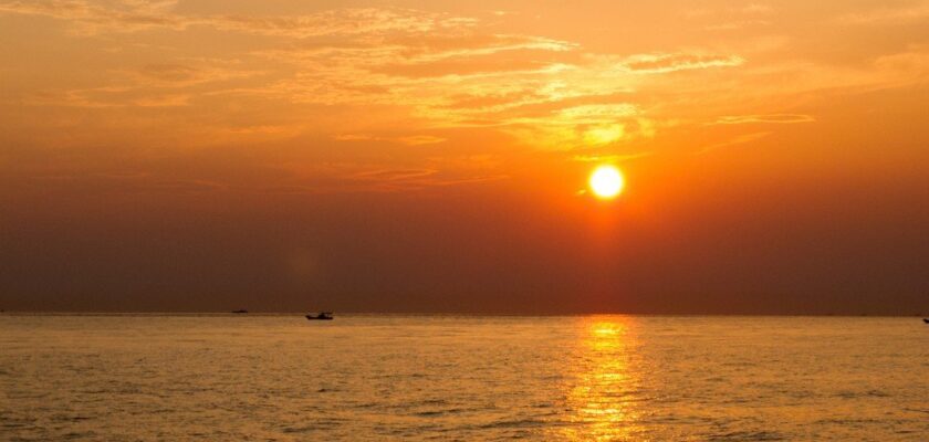
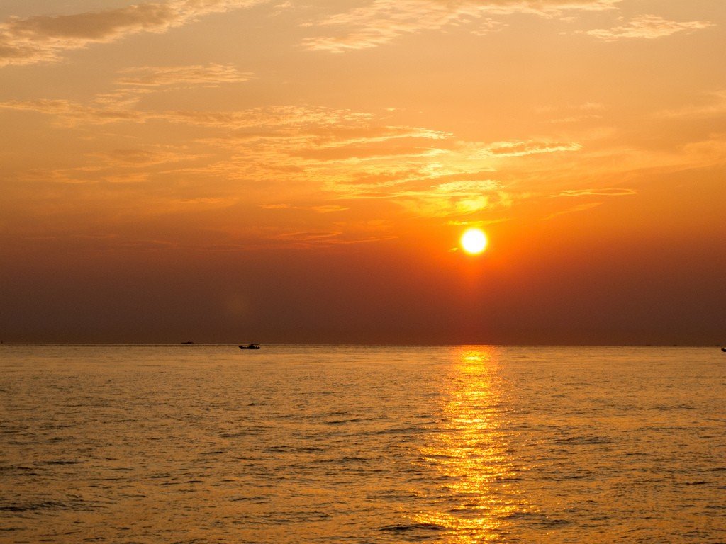
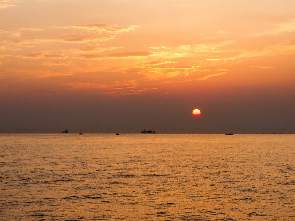
Inland Sea of Japan is a sea within the Pacific Ocean system of sea basins and straits between the islands of Honshu, Kyushu, and Shikoku. It includes the Harima, Bingo, Hiuchi, Iyo, and Suo Seas.
General information
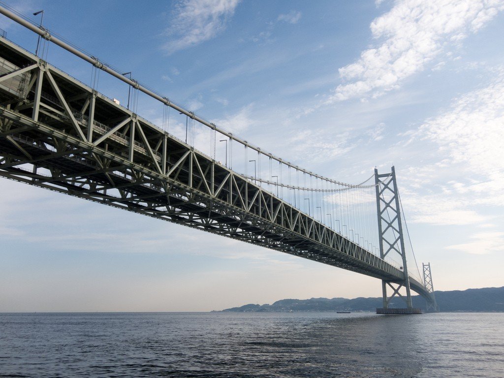
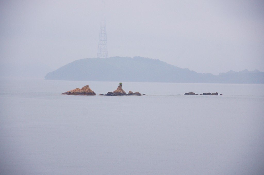
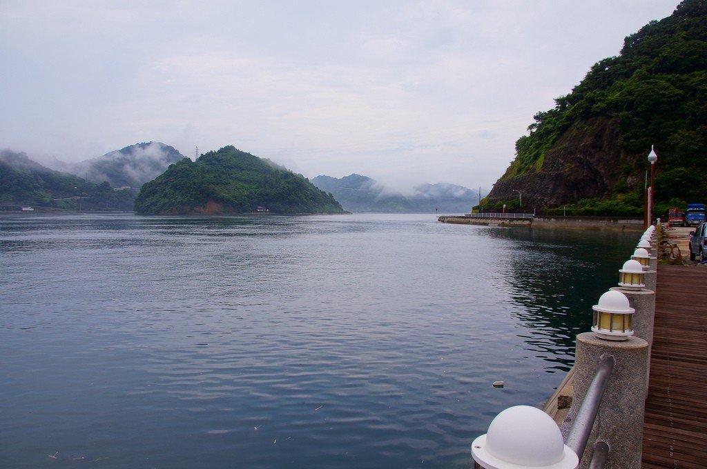
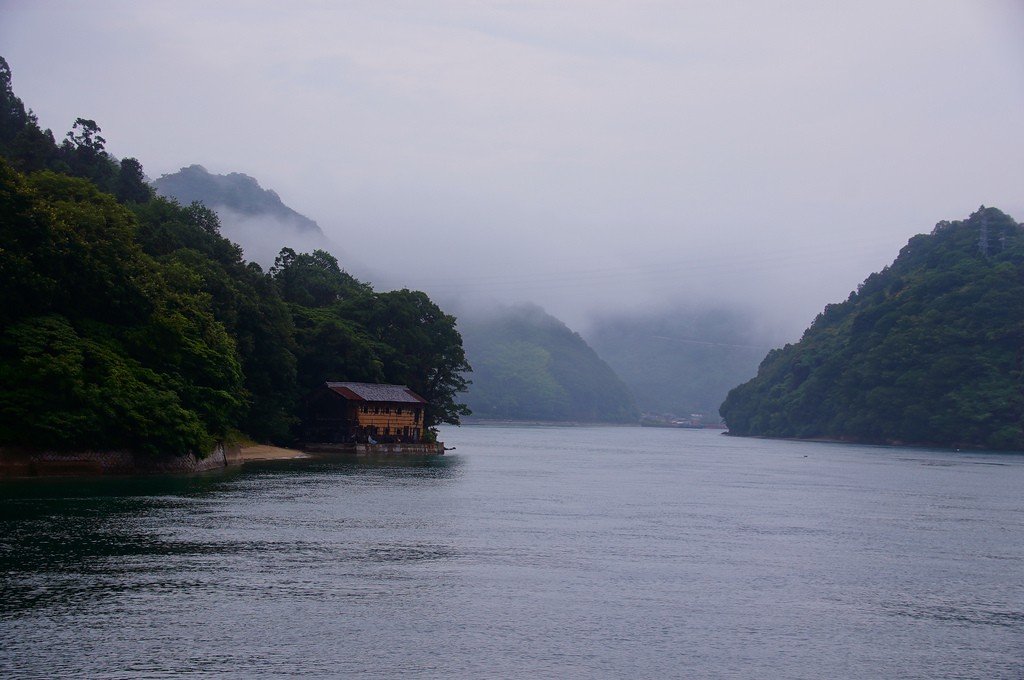
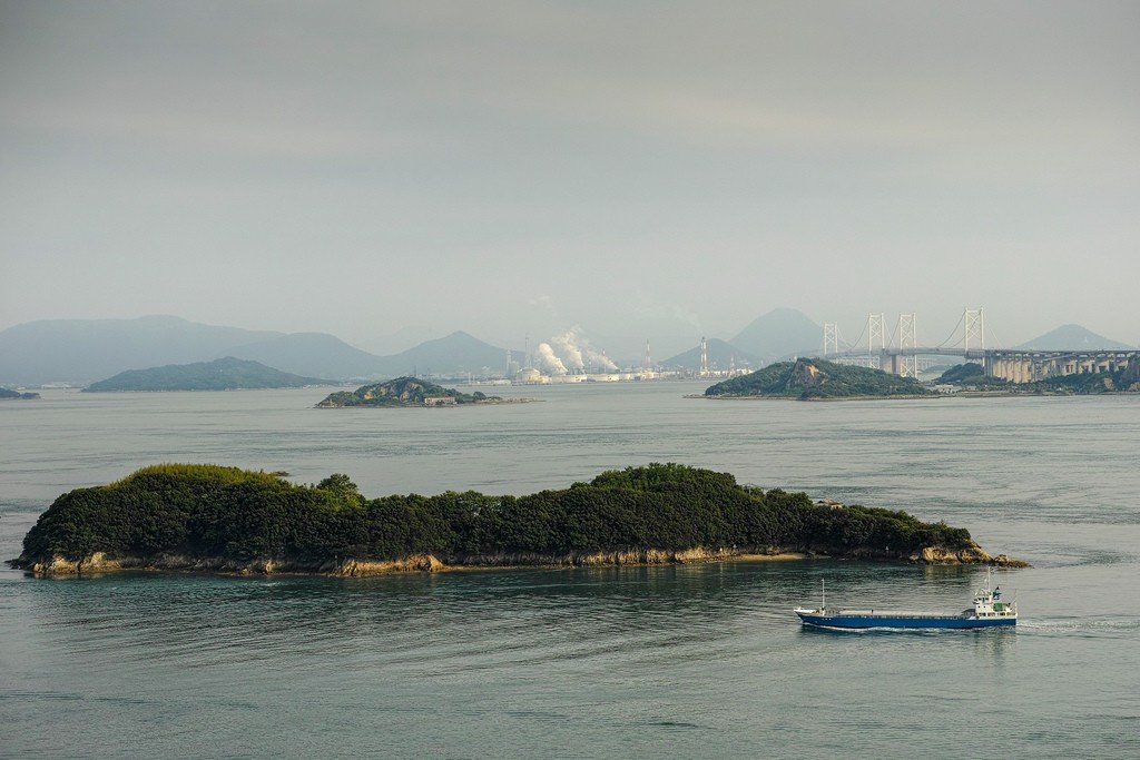
Connected to the Pacific Ocean in the east by the Kii and Naruto Straits, in the southwest by the Hayasui and Bungo Straits; to the Sea of Japan by the Shimonoseki Strait. Length 445 km, width up to 55 km, prevailing depths 20-60 m (the greatest 241 m). The average water temperature at the surface in February is about 16°C, in August about 27°C. Salinity is 30-34 ‰. The bottom is covered with muddy sands with inclusions of boulders and pebbles. There are almost 1000 islands and islets in the sea, the largest island is Awaji. Important transportation routes of Japan pass through the sea. The coasts are strongly indented. There are many islands. The most important inland waterway of Japan. Main ports: Kobe, Osaka, Moji, Shimonoseki, Kure (naval base). Resort in Beppu.
.Since ancient times, the Inland Sea and its coastline have played an important transportation role. Rapid growth in industry and population has made the Inland Sea of Japan region one of the most important industrialized areas in Japan. However, as a consequence, the region has to face serious environmental problems.Seto Naikai National Park was established on March 16, 1934.