Island of Fuerteventura
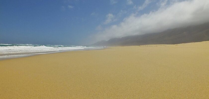
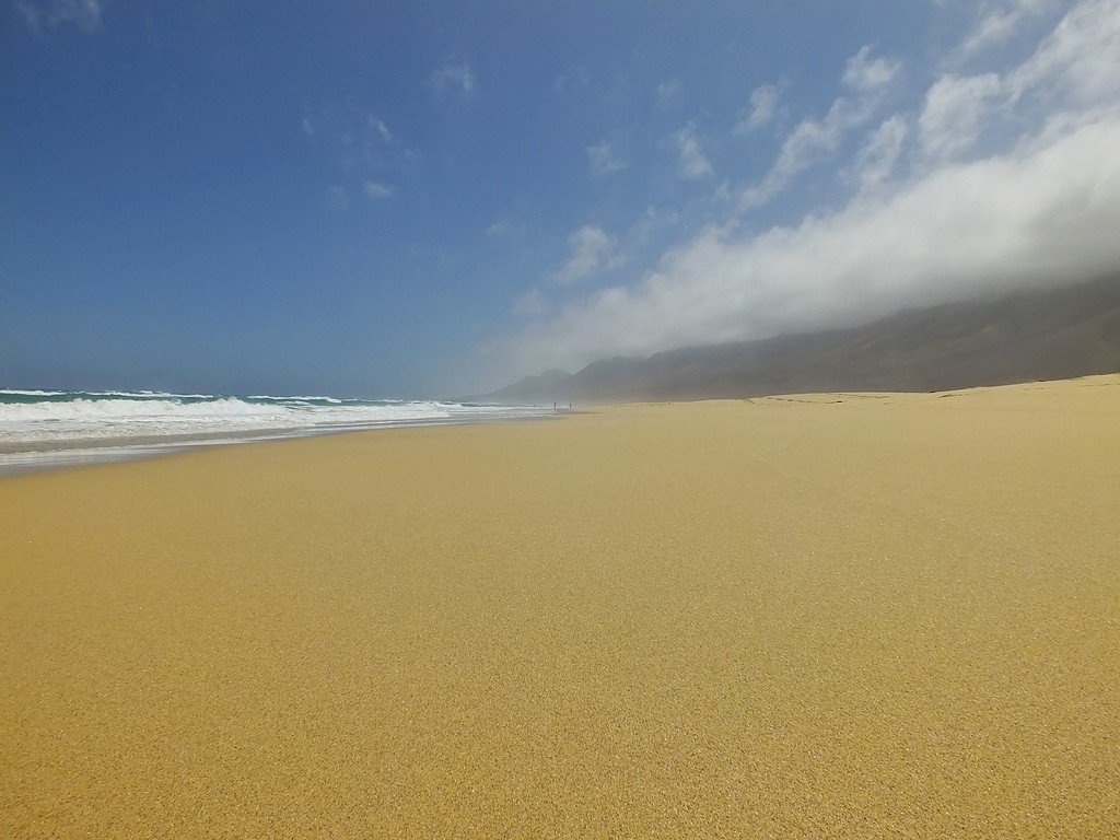
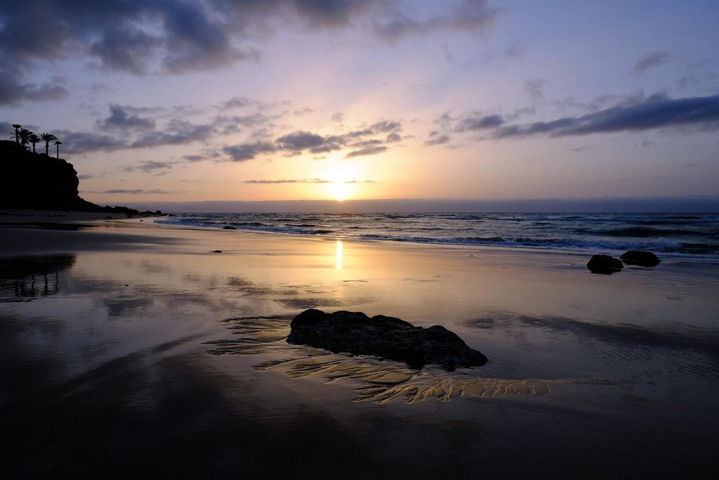
Fuerteventura is the second largest island of the archipelago. It has an area of 2020 km². The island is quite deserted and sparsely populated. The population of Fuerteventura is only 42 thousand people. Despite active construction in recent years, the number of beaches still exceeds the number of hotels. At last count, there are 152 beaches on the island, most of them covered with a thin layer of golden sand. These beaches can rightly be called the best in the Canaries. The island is only 115 km from the coast of North Africa, and the sand here is carried by the wind from the Sahara, giving a special meaning to the words “desert island.”
Video: Fuerteventura
Highlights
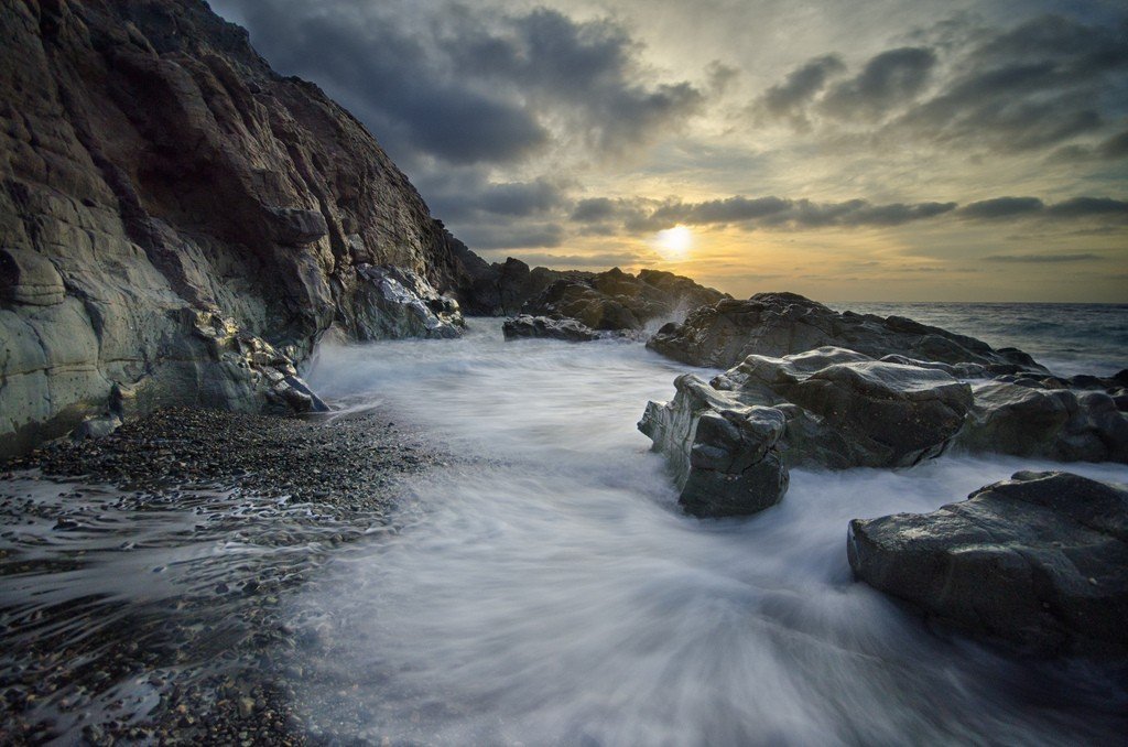
Fuerteventura is an island rugged and blown by all winds, but there is a special grandeur to its appearance. Rocky mountains, dry barrancos and sand and pebble-filled wastelands are typical features of the island’s landscape.
.
North of the island of Fuerteventura
Most tourists arrive on the island by ferry, which arrives in the capital Puerto del Rosario. The capital of Fuerteventura is located on the east coast. Just south of the city is the airport. At the northern tip is the fishing port of Corralejo, which has successfully transformed into a busy ferry terminal, where ships from Lanzarote arrive (40 minutes from Playa Blanca). The town has become a lively resort, popular with English tourists. Modern buildings are not too beautiful, but the old port still retains its flavor. The harbor is lined with brightly colored fishing boats, old bars and excellent fish restaurants. You will surely enjoy strolling through the narrow streets of the old town. The nightlife here is not too hectic, but still more active than in other parts of the island.
.
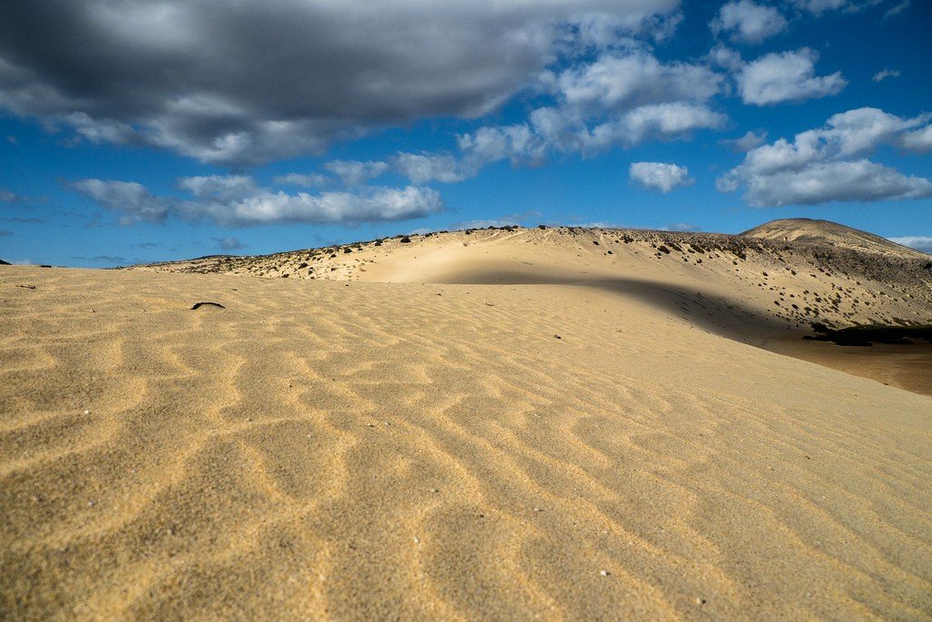
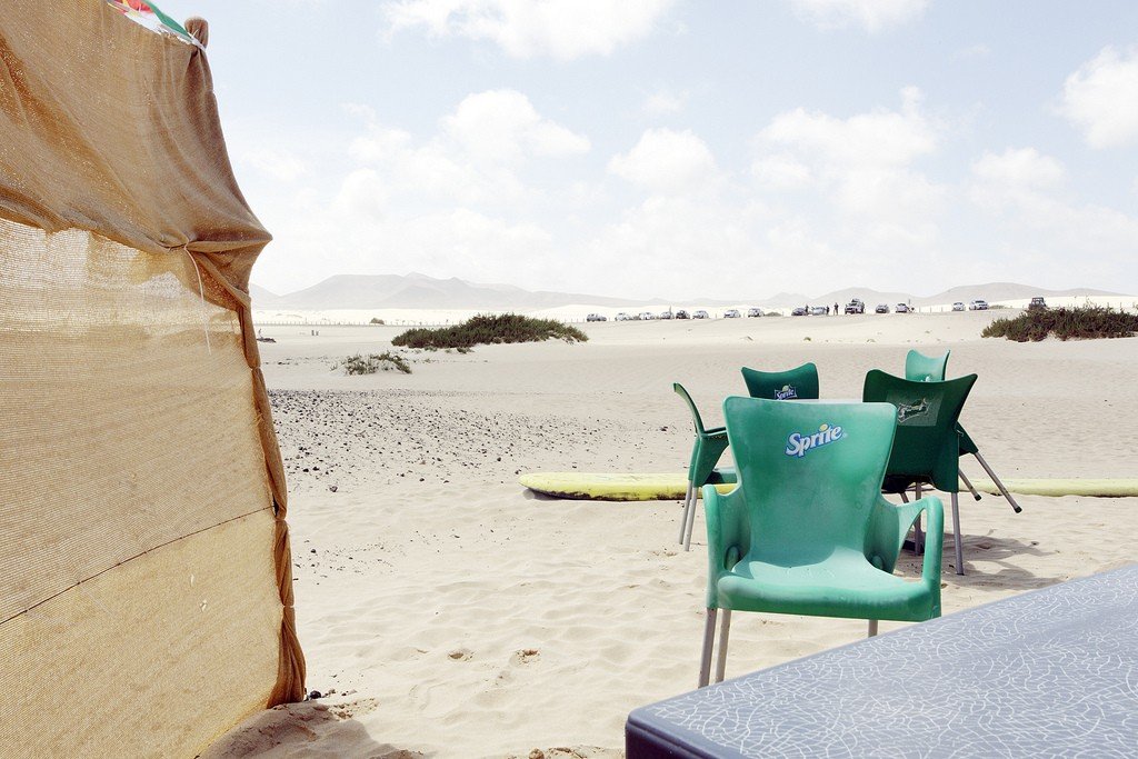
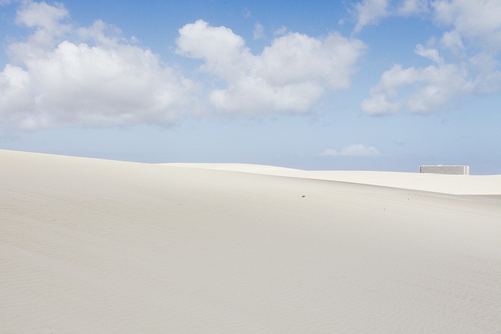
People come to Fuerteventura for its magnificent beaches. Corralejo is famous for its long white beaches and dunes that stretch for 10 kilometers. Although access to the beaches is not restricted by anyone, the entire region has the status of the Corralejo Dunes Natural Park. Even away from the coast, there is no vegetation other than succulents and it feels like being in the Sahara. At 3 km from the coast, behind a narrow strip of water, there is a tiny island Isla de Lobos, which is also part of the natural park. The beaches here are even more deserted and the fishing conditions are amazing. There are regular glass-bottom boat trips from Corralejo.
.There are two ways to get to Puerto del Rosario. This town was the capital of the island in 1860. It was once called Puerto de Cabras (Goat Port) because of the abundance of goats. The FV-1 road runs along the east coast past the dunes, and the FV-101 road goes inland. If you turn west, you’ll reach the lacemaker’s town of Lajares. At the School of Canarian Crafts (Escuela de Artesania Canaria; open Mon-Fri 9 a.m.-7 p.m., Sat 9 a.m.-3 p.m., free admission) you can see the artisans at work and buy lace and embroidery.
.
On the northwest coast of Fuerteventura is the town of El Cotillo. With gorgeous beaches and great windsurfing conditions, the town has become a lively resort with many bars and restaurants.
.
Back on the main road, you enter the small town of La Oliva, where the ochre colored houses blend harmoniously with the surrounding landscape. The most interesting colonial house is the Colonel’s House, Casa de los Coroneles, which housed the island’s military governors in the 18th century. The building is now under restoration, but you can see the magnificent balconies and feel the melancholy grandeur of the old architecture. Opposite the Colonel’s House is the Casa Mane Center for Canarian Art (opening hours vary, entrance fee). It is a bright, modern building that exhibits works by some of the best contemporary Canarian artists, including works by Lanzarote native Cesar Manrique.
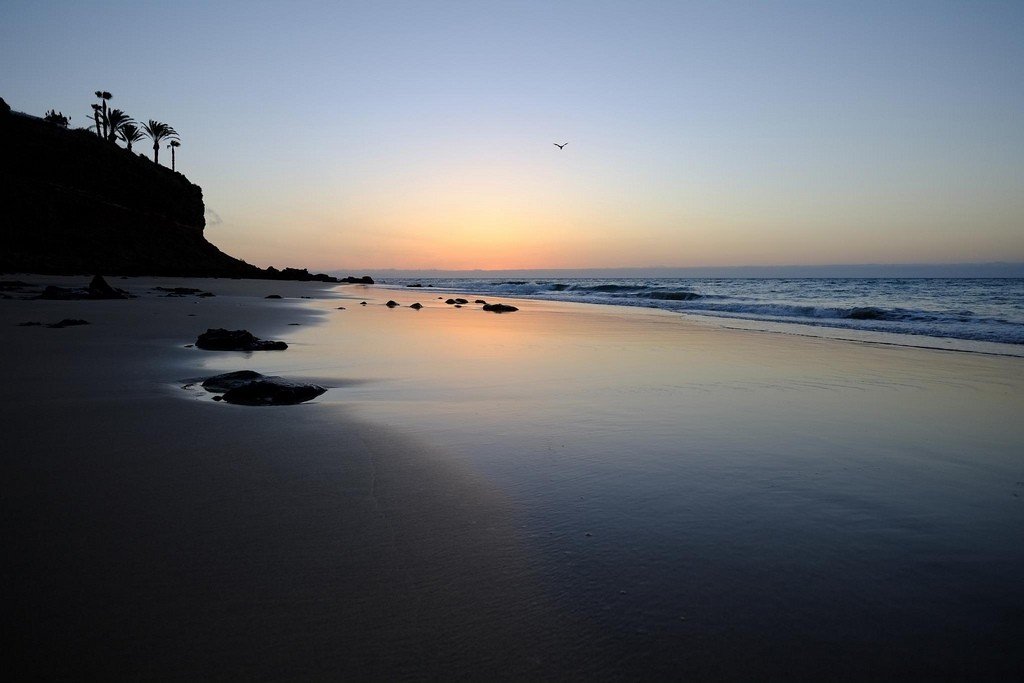
.A little further south, just beyond Tindaya, from where the road heads towards Puerto del Rosario, there is a monument to Unamuno at the foot of the Kemada Mountains. A writer, philosopher, and professor at the University of Salamanca, Unamuno (1864-1936) was a staunch republican. In 1924, during the reign of General Primo de Rivera, the professor was exiled to Fuerteventura. He spent six years there and often described the beauty of the island in his books. He called Fuerteventura “an oasis in the desert of civilization.”During his exile, Unamuno lived in Puerto del Rosario in a typical Canarian house on Via Virgen del Rosario. It now houses the Unamuno House Museum (open: Mon-Fri 9.00-14.00, free admission), where one can learn about the writer’s life and work. .Although there are no special architectural sights in the capital, it is very pleasant to walk around the city. The embankment is beautifully restored and landscaped. Several beautiful old houses have been preserved here. In local restaurants you will be offered inexpensive traditional dishes. There are many interesting sculptures in the town, which add to its charm.
Ten kilometers south of Puerto del Rosario, behind the airport, is the cosmopolitan resort of Caleta de Fustes. The center of life is a beautiful horseshoe-shaped beach (windsurfing is the most popular sport) and an excellent yacht club. The yacht club has a corner where you can constantly see fish swimming by. There are plenty of boat trips available. The round fortress of Castillo de Fustes, which gave its name to the resort, was built in the XVIII century to repel attacks of English pirates.
.Return to the central FV-20 road and head to Antigua. The architecture of this beautiful old town, founded by the first conquerors, combines Moorish and Spanish elements. The city is surrounded by old windmills, of which there are many on this windy island. One of these mills, El Molino Centré (open Tues-Sat 10am-6pm, entrance fee), has been restored and turned into an art gallery. There is also a crafts center and a restaurant. The mill is surrounded by a beautiful cactus garden.
.Moving south, you pass through the mirador de Morro Veloso, which offers beautiful views of the surrounding mountains and the distant Atlantic. The road then takes you to Betancuria, Fuerteventura’s most beautiful and most visited town. Although there is almost never any water in the riverbed, the town is surprisingly green for such a deserted island. Because Betancuria is far from the coast, it was theoretically invulnerable to pirates. In the early 15th century, the city became the island’s first capital. But in 1539, Berber pirates overcame the mountain range (it is still very difficult to drive over it today), captured the city and destroyed the cathedral.
.
The city is decorated with the church of Santa Maria, built in the early XVII century (open: Mon-Fri 11.00-17.00, Sat 11.00-15.00, entrance to the museum is paid). The church is very beautiful. Its appearance combines elements of different architectural styles. Pay attention to the painted choirs and decorative wooden ceiling. Gold and silver religious utensils are kept in the Museum of Religious Art. A 16th-century farmhouse houses the Casa Santa Maria restaurant, which serves local specialties.
.
Walk around the town and admire the view from the bridge. Beyond the bridge is a small restaurant and souvenir store. On the main street there are two interesting museums (both open Tues-Sat 10.00-17.00, Sun 11.00-14.00): one dedicated to archaeology, the other to handicrafts. North of the town you will see the ruins of a Franciscan monastery, the Ermita de San Diego de Alcala, which is a pilgrimage center.
.Just south of Betancuria is the pretty, neat little town of Pahara, in whose shady square stands the church of Virgen de la Regla with a very beautifully carved portal.
.South of the island of Fuerteventura
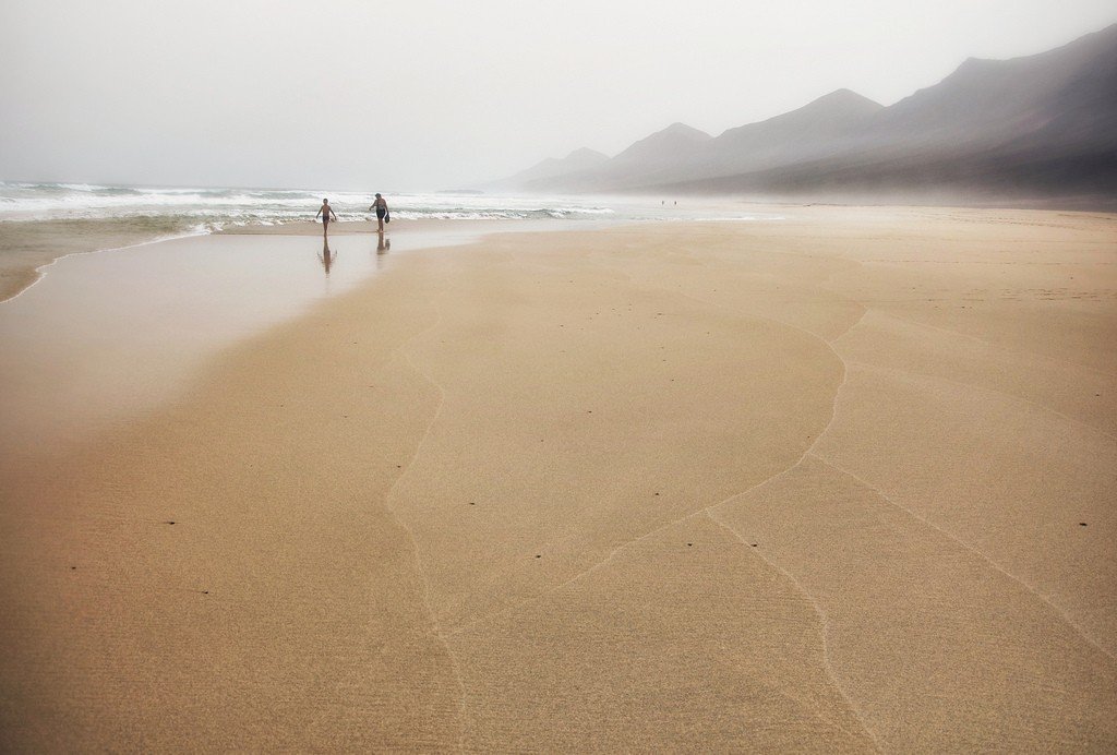
The main attraction in the south is the huge sandy beaches of the Handia peninsula, which stretch from the town of Matas Blancas in the narrowest part of Fuerteventura to Morro Jable. At the northern tip of Jandía are the magnificent beaches of Costa Calma – the first urbanized ones sprang up in Canadia del Rio. Along the coast are built a lot of hotels, and many of them are quite beautiful. Low cliffs form cozy coves that alternate with long stretches of sand.
.The length of Playa de Sotavento beach is 28 kilometers. The beach is well known to windsurfing enthusiasts around the world. A large windsurfing school is located by the Melia Gorriones Hotel. The beach here is very wide and flat, well protected from strong winds. After low tide it is still heavily soaked with water. An idyllic vacation spot are the dunes behind the beach and just south of it.
.Residential complexes and apartments line the coast all the way to Morro Jable, a modern port and resort. From here ferries depart for Gran Canaria and Tenerife and catamarans sail along the coast.
.
Excellent beaches and cozy bays are located closer to the southern tip of Fuerteventura – Playa de Juan Gomez and Playa de las Pilas, but to get there, you’ll need a four-wheel drive car. Only the brave (and those used to jeep safaris) venture to the windy headland of Punta de Jandia and the secluded sandy beaches on the other side of the peninsula, Playa de Cofete and Playa de Barlovento. Wind and kite surfing on these beaches can only the most experienced athletes. And ordinary tourists just bask in the sun – most often naked. Nothing reminds of the existence of the civilized world here. Isn’t this what a real vacation should be like?
.Local crafts
Fuerteventura has always been famous for its craftsmen. Clay is worked here using ancient techniques. The clay is used to make traditional vessels such as tofios, special bowls for milk. Baskets, hats and palm leaf brushes are very popular.
.