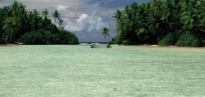
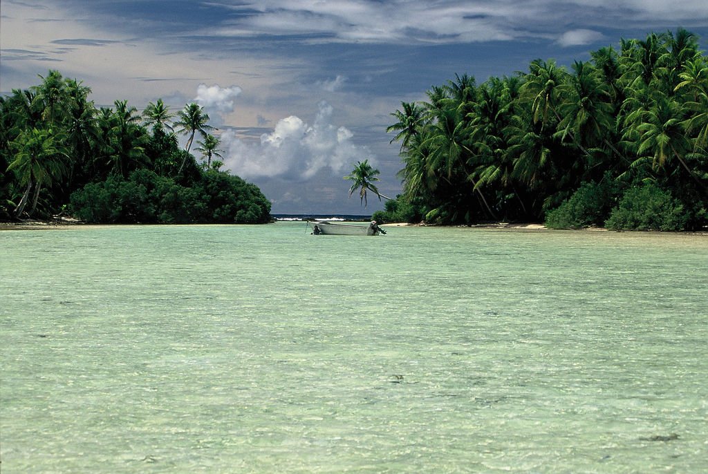
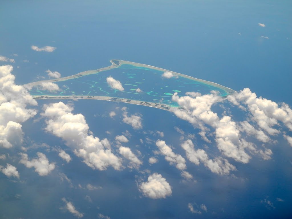
Fakaofo Atoll
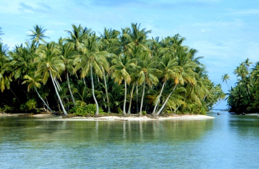
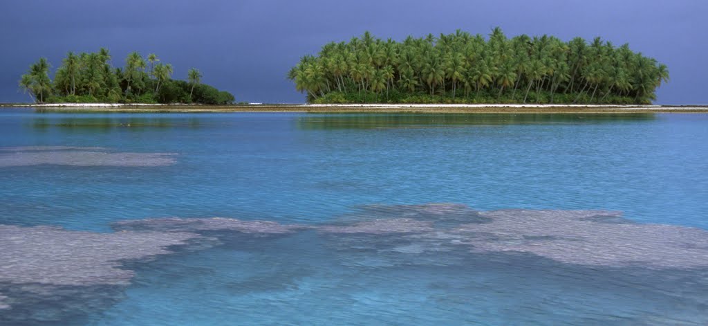
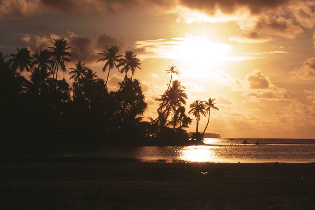
Fakaofo Atoll is a small island with a total land area of only 2.63 km²; however, it has a population of about 500 people. At high tide from Fakaofo, only the dense gray-green dome of a dense grove of coconut palms is visible above the sea surface. The island is located in the South Pacific Ocean; it is the southernmost of the three Tokelau atolls.
General Information
The atoll was first described in 1841 by Horatio Hale, a member of an American exploring expedition. He named the atoll after Nathaniel Bowditch, author of a famous book on marine navigation in the English-speaking world (Bowditch Island is still one of the common names for the atoll).
.
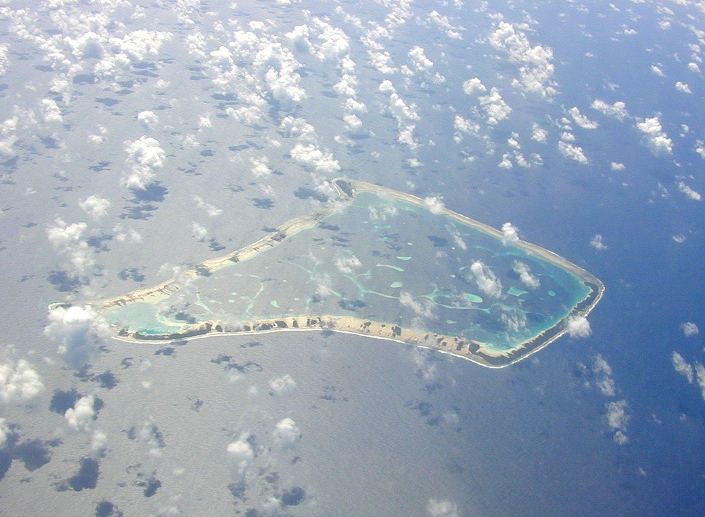
Interestingly, Fakaofo Atoll lies nine degrees south of the equator, in the path of constant hurricanes. While hurricanes flood neighboring islets, the inhabitants of Fakaofo feel safe. And all the matter is that the sailors Polynesians walled the island of large pieces of coral reef and made an embankment in the middle, raising the surface of their island almost five meters above the level of the tide. In this way the natives, stripped of all machinery, created a safe haven for themselves.
.
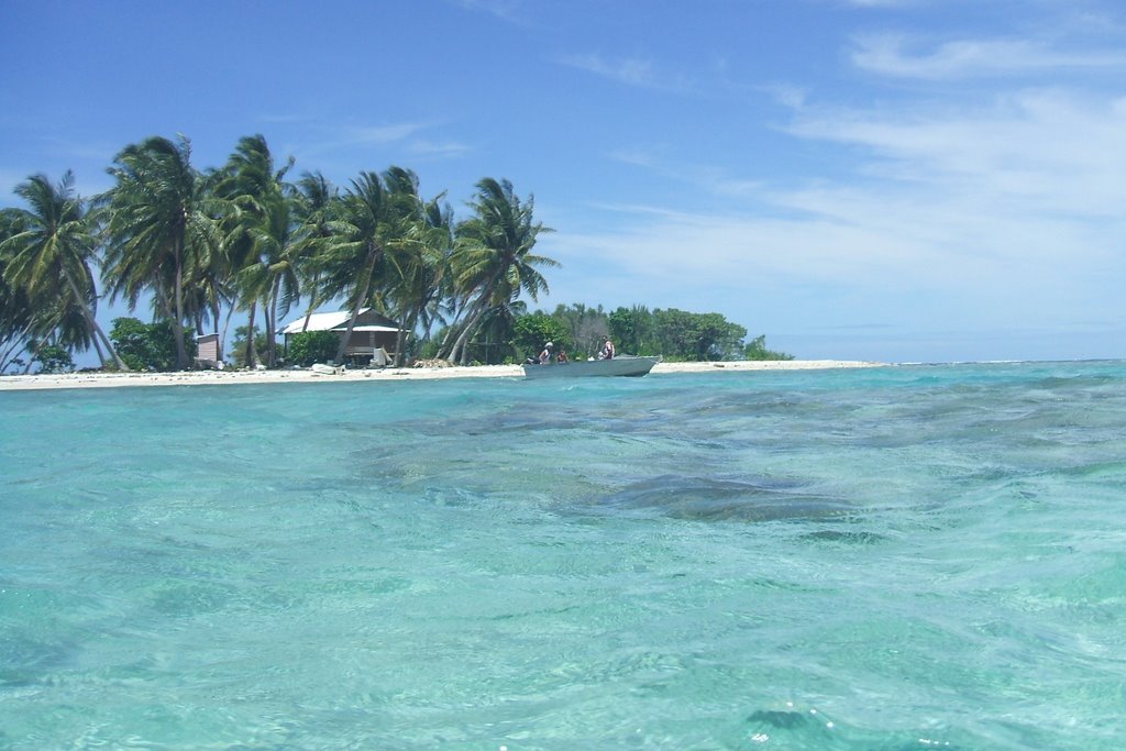
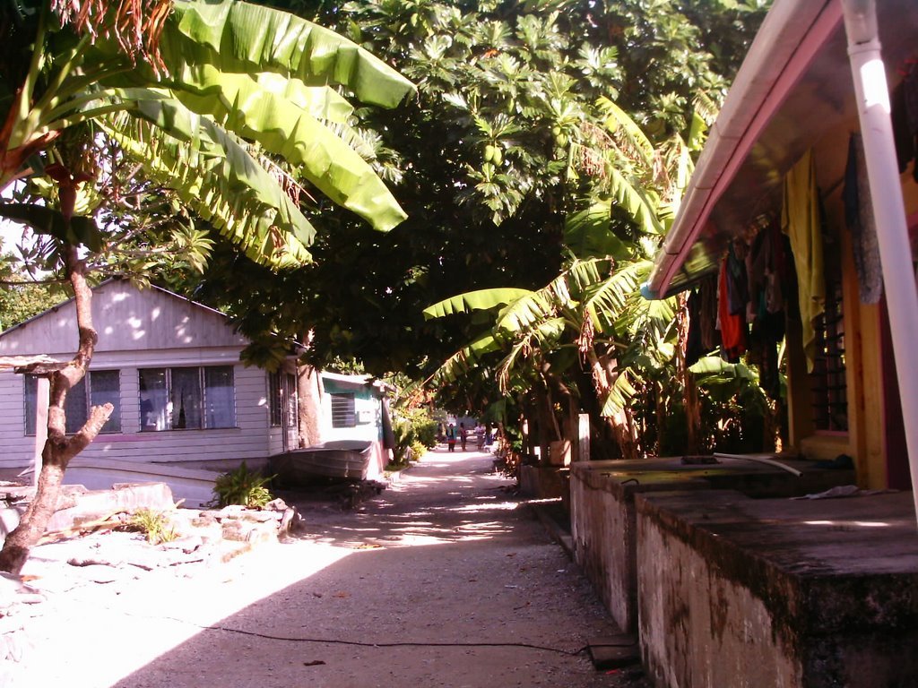
The administrative center of the atoll is the village of Fakaofo on the motu of Fenua Fala (it is the second settlement on the atoll, founded in 1960). There is a coral monument here dedicated to Tui Tokelau, the god worshipped on the atoll. The Territory’s largest settlement, Fale on Fale Island, is 2 kilometers from Fakaofo Village. The most significant motu of the atoll are Teafua, Nukumatau, Nukulakia, Fenua Loa, Saumatafanga, Motu Akea, Matangi, Lalo and Mulifenua.
.The Fakaofo Council of Elders is made up of residents over 60 years of age.
.