Copper Canyon
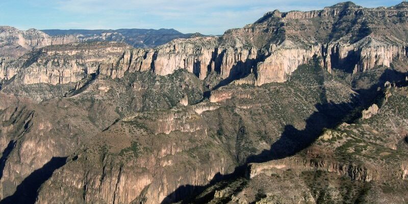
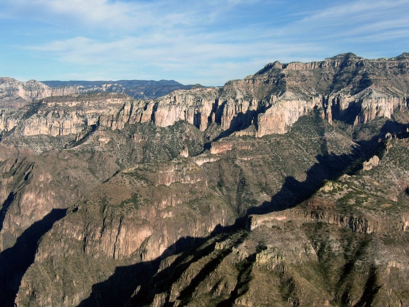
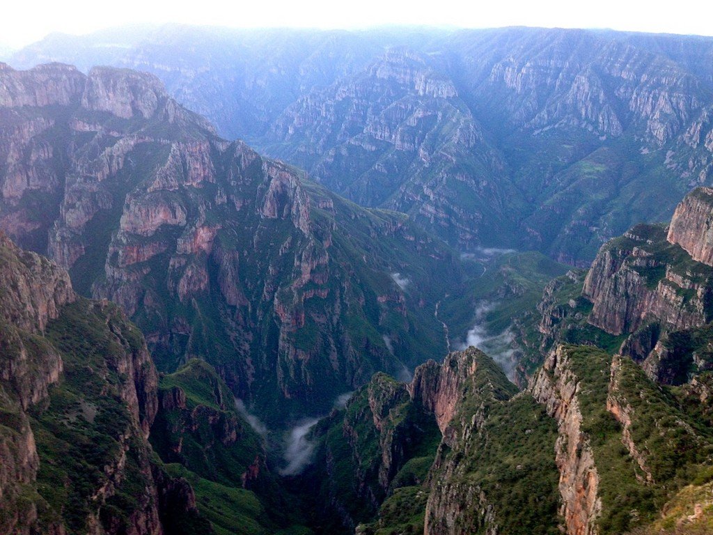
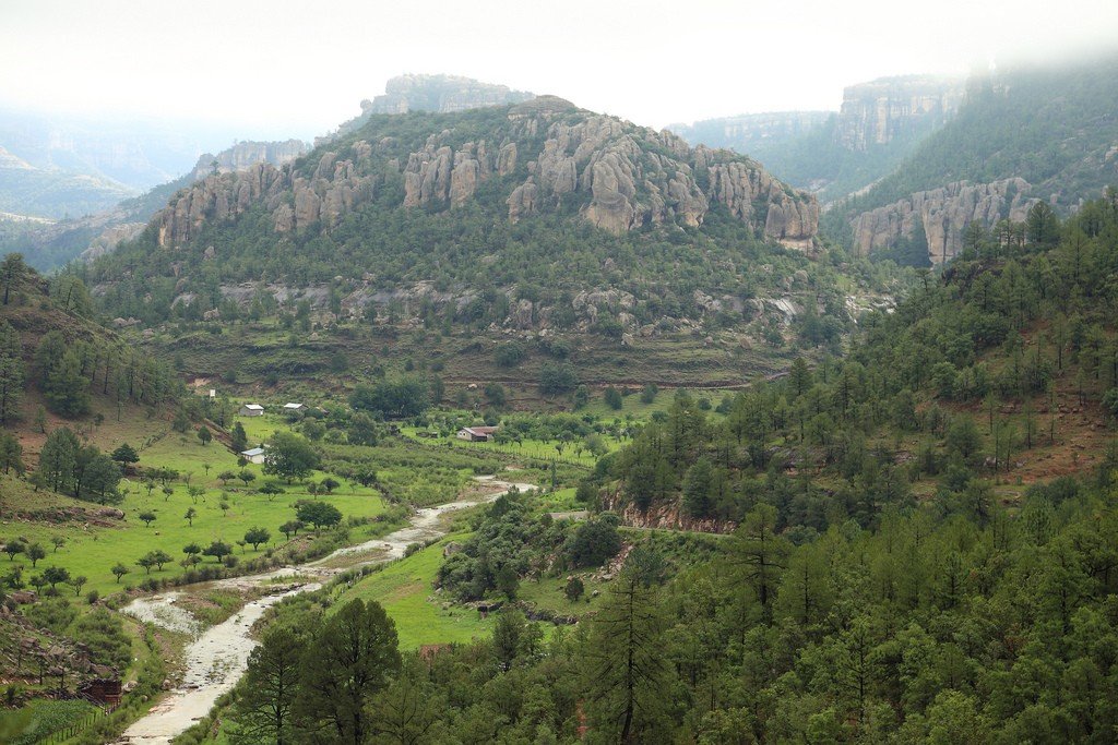
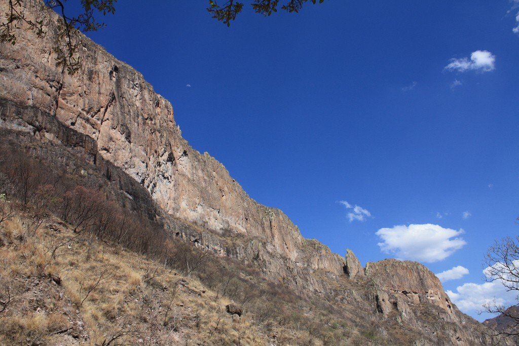
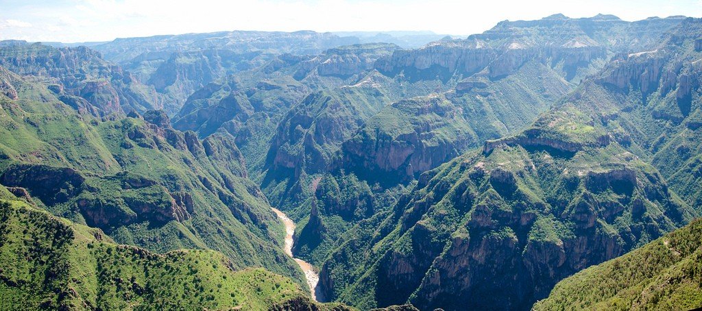
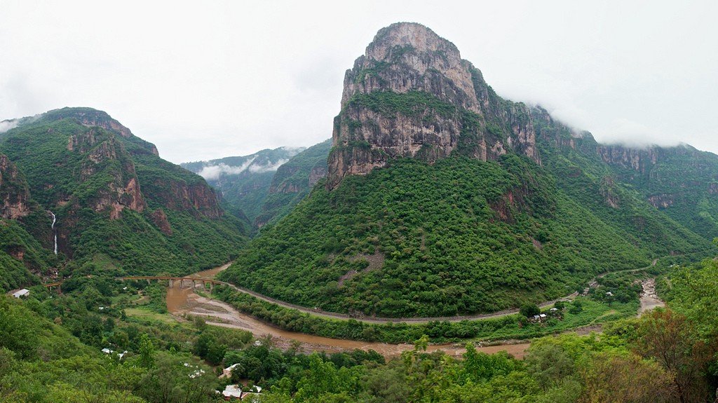
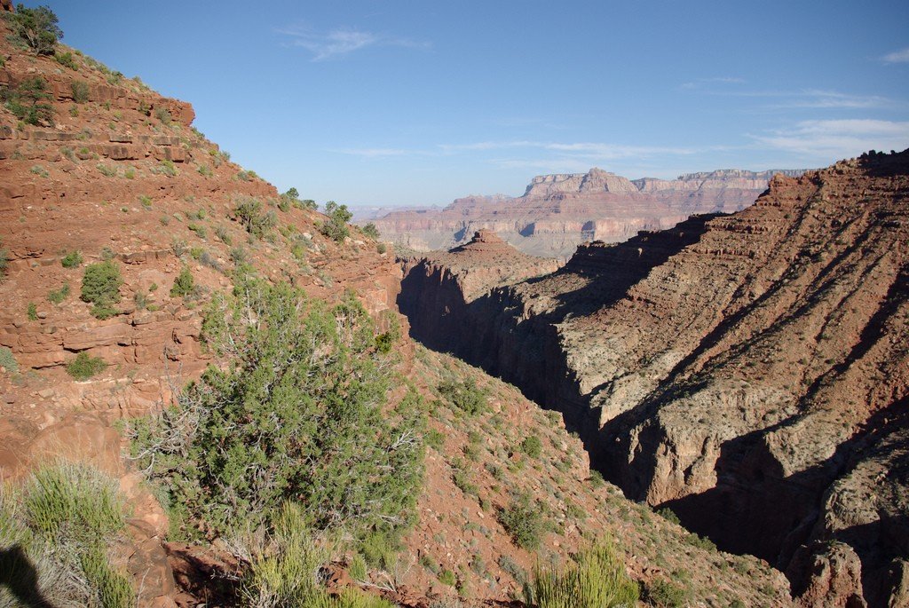
Copper Canyon is located in Chihuahua, Mexico, in the Tarahumara Uplands and is a chain of six huge canyons. Each canyon is much larger than the Grand Canyon, the total area is about 65 thousand km². The depth of the canyons is also amazing – from the shallowest at 1000 meters to the deepest at 1870 meters. For comparison, the average depth of the Grand Canyon is only about 1200 m.
Highlights
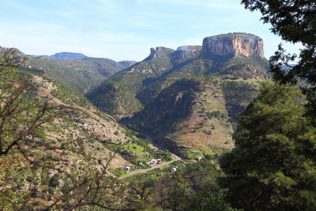
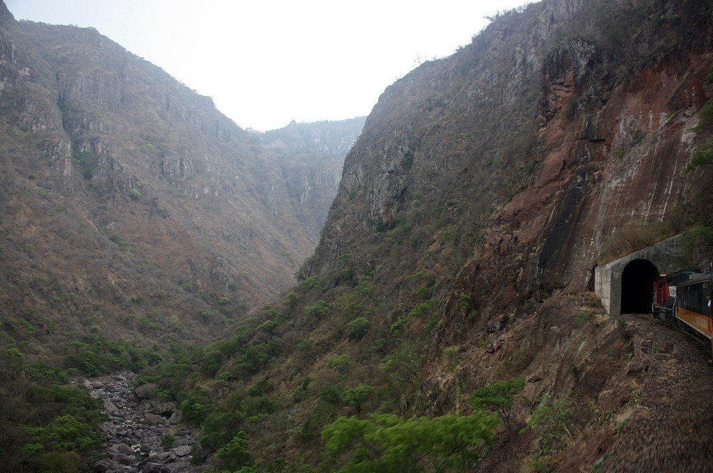
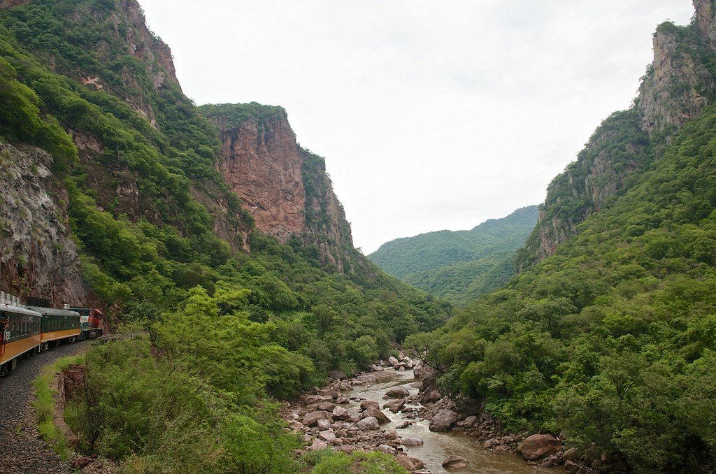
Deep, dangerous gorges set in the middle of the hot desert and connected by six scenic rivers make a truly powerful impression on anyone who finds themselves here. The railroad track from northern Chihuahua to California’s Los Mochis runs through Copper Canyon. Along the way, the train makes scheduled stops to explore the surrounding area.
.
The canyon owes its name to slopes overgrown with greenish moss. By mistake, the Spaniards mistook the moss for copper. By the way, in Russian, the name of this place is often translated as Cooper Canyon or Cooper Canyon (from the English “copper”).
.
On the slopes of Copper Canyon, in small caves and hand-built huts live about 60 thousand Indians. Their modern life resembles that of their ancient ancestors – subsistence farming, growing vegetables, wearing traditional clothing and performing ritual dances. Messengers are sent to communicate with other tribes. Tourists are attracted by souvenirs and household items made by Indians: baskets, dolls in national costumes, ceramics, musical instruments. Here you can fully immerse yourself in ancient Indian traditions, living in a camp among real Indians, participating in their ritual dances and hunting.
.
The joke about the Copper and Grand Canyons is very popular among tourists visiting these vacation spots. She says that Copper Canyon is what the Grand Canyon dreams of becoming when it gets a little older.
Canyons and Landmarks
Copper Canyon
The canyon that gives its name to the whole chain is located between the towns of Urique and Creel, in the heart of the Barranca del Cobre Natural National Park. It is 1300m deep and takes its name from the old metal mines. From the height of the mirador (observation deck) of Mogótabo, you can admire stunning views of the cliffs and the beauty of the forest of many pine and oak trees.
.Sinforosa Canyon
Sinforosa Canyon is located in the southeastern part of the national park, 16 km from the town of Guachochi. It has an approximate length of 120 km and stunning views from the Cumbres de Sinforosa observation deck. At its deepest point is the mirador Cumbres de Guérachi, at an altitude of 1,830 m.
.Urique Canyon
Urique Caño is located in the central part of the national park, near El Divisadero. It is considered the deepest canyon of the entire complex, with a maximum depth of 1,879 meters. To get there, you have to arrange transportation from Creel. This canyon is rich in its wildlife such as eagles, woodpeckers, deer, raccoon and otter.
.Batopilas Canyon
Batopilas Canyon is located in the southern part of the national park, between the towns of Creel and Guachochi. It is a canyon, up to 1,800 meters deep, with the de La Bufa observation deck, where you can see breathtaking scenery.
.
Chinipas Canyon
Chinipas Canyon is located in the southwestern part of the natural park, next to the Urique Canyon. It can be accessed via a dirt road from the Temoris railroad station. At a depth of 1600 meters, the Chinipas River flows, which is part of the Rio Fuerte River basin. Here is the settlement of Chinipas, the oldest missionary settlement in the Sierra Tarahumara, founded in 1626.
.Otero Canyon
Otero Canyon is located in the northern part of the natural park, between the towns of Uruachi and Maguarichi. From the mirador of Maguarichi, there is a road to the hot thermal springs.
>Kandamenya Canyon
Candamenya Canyon is located in the northwestern part of the natural park. It is home to Basaseachi Falls, 246 meters high, considered the highest waterfall in Mexico, fifth highest in the Americas and 21st highest worldwide. From the observation deck of La Ventana, there is a magnificent view of the waterfall.
.Climate, flora and fauna
It is noteworthy that on the tops of the canyon and at its bottom, the air temperature is always different. This is due to a large difference in altitude, reaching 1.5 kilometers. In winter, for example, the slopes are always covered with snow, and at the bottom of it grow subtropical forests. It is thanks to its climate that the area near the canyon is considered the most biologically active in Mexico. It is home to a third of the country’s mammals: the puma, black bear, and Mexican wolf. Copper Canyon is home to a huge number of birds and is home to more than three thousand plant species.
.Where to Stay
You can stay overnight in the town of Creel, which is close to all of the canyon’s main attractions. There are many hotels in Creel, where places can be booked in advance. The hotels offer tourists a variety of tours led by professional guides.
.How to get there
The trip to Copper Canyon is a real journey. You can only get here on a comfortable El Chepe train from Mexico City along a 655 kilometer long railroad. The train passes through 35 bridges and 80 tunnels. All along the way you can admire the magnificent scenery spreading on the sides: green mountains, rivers, waterfalls, picturesque bridges.
.