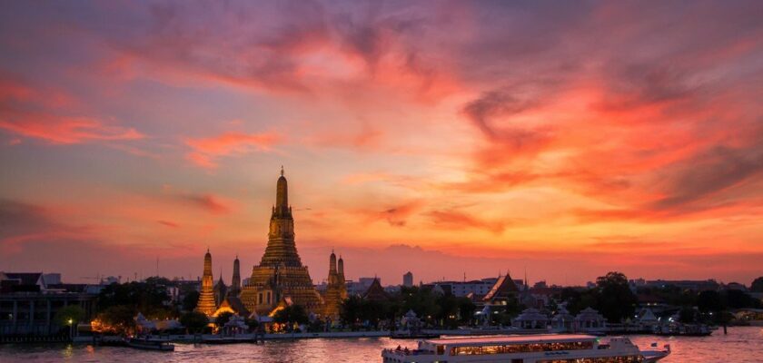
Chao Phraya River
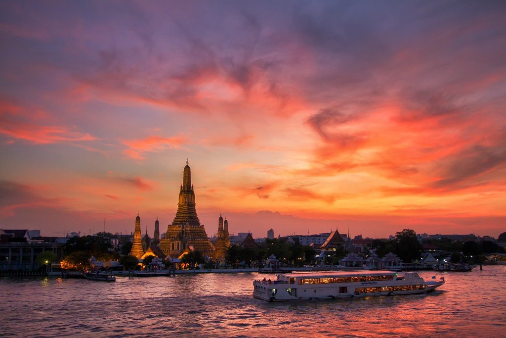
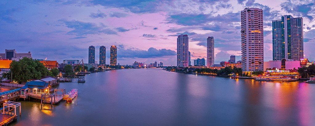
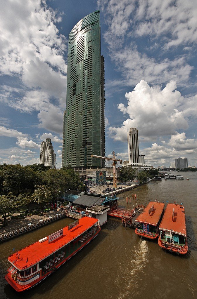
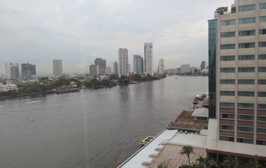
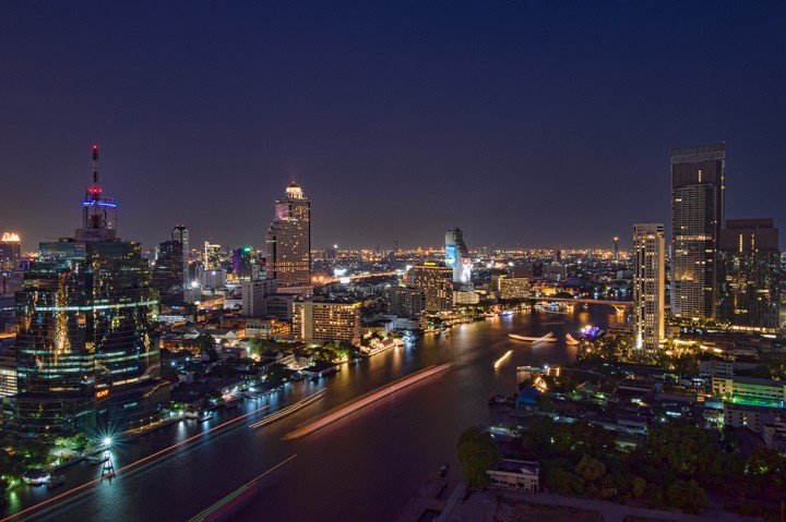
Chao Phraya is Thailand’s largest river along with the Mekong, and runs through Bangkok. The river is formed by the confluence of the two rivers Pinga and Nana near the city of Nakhonsawan. Flowing 372 kilometers from north to south of the country through the Menam lowlands, the Chao Phraya flows into the Gulf of Thailand in the South China Sea.
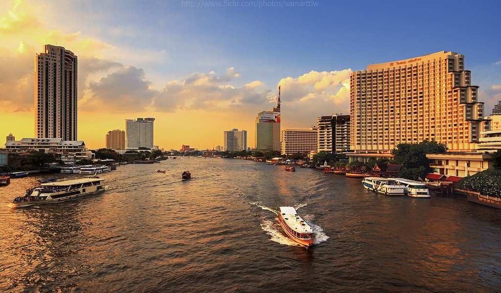
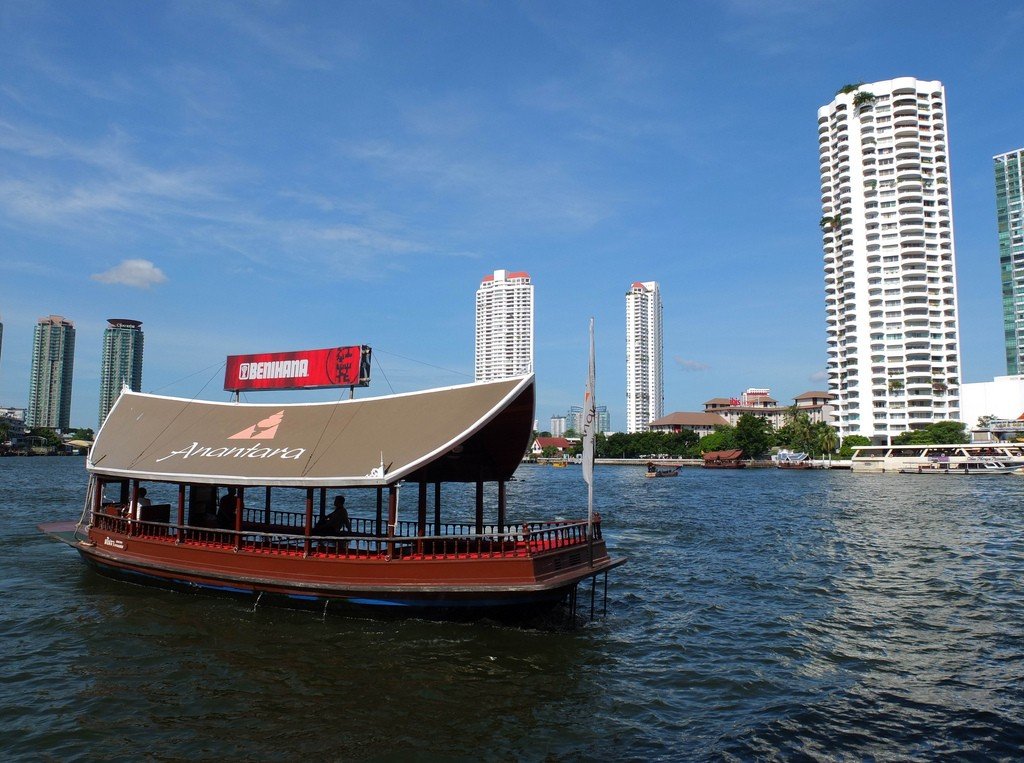
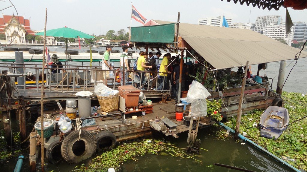
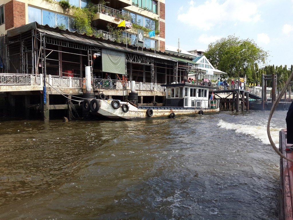
General Information
During the Ayutthaya period, from the 14th century, it was used as the country’s main waterway. Merchant ships had to travel upriver from the Gulf of Thailand to Ayutthaya. In doing so, they faced a number of difficulties. First, it was difficult to find the mouth of the river. For example, the ship on which the Portuguese poet Luis de Camões was sailing entered another river by mistake, where it ran aground. Moreover, the river had three mouths, but only one was suitable for heavy merchant ships. Even in this channel there was a shoal crossing its entire width, at a depth of about 5 meters. A channel marked with poles was dug through the shoal. Some of the ships, especially European, did not dare to pass through the shoal, and reloaded the goods on hired junks. In this case, most of the crew was left to wait for the new goods at the mouth of the river.
Above the shoal on the two banks of the river were two watch buildings whose job was to warn the authorities in Samut Phrakarn, especially Chau Phraya, in case of attack. All foreign vessels had to stop at the residence of the Chau Phraya to obtain permission to proceed further up the river. The function of the latter was purely diplomatic; he had no means of stopping a military attack.
Above Samut-Phrakarn, the Dutch East India Company built a warehouse building in 1634, as goods that would not spoil in the tropical climate, particularly certain types of wood, were easier to load onto ships here rather than at Ayutthaya, where the river was too shallow.
.Between this place and Ayutthaya, the river made five large loops (so, in one of them, the riverbed, after traveling 17 kilometers, came to a point at a distance of 700 meters from the beginning of the loop). These loops in XVII-XVIII centuries were straightened by canals. It was in these places that cities were later formed (from bottom to top: Phrapradeng, Bangkok, Nonthaburi, Pakkret and Pathumthani). The construction of canals and the care of waterways in the state was traditionally considered the occupation of the king of Siam.
Thonburi was the location of the customs office. It is known that the Dutch East India Company paid the customs officials of Thonburi more than the customs officials of Ayutthaya. A customs house was also established at Hau Lam, a few kilometers below Ayutthaya. Here a chain was thrown across the river.
All travelers note the abundance of mosquitoes in the lower reaches of the river, in numbers that are hard to bear.
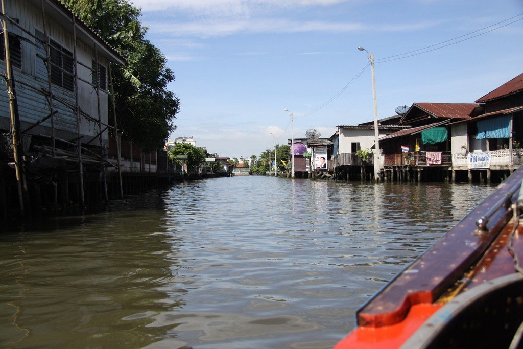
.Also worth a visit is Kret, a small island on the Chaophraya River. There is a village here where visitors can watch potters at work, as well as see an ancient pottery center. Traveling along the river is also the best way to go from the city center to the former capital, Ayutthaya.
.