Bryce Canyon
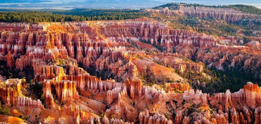
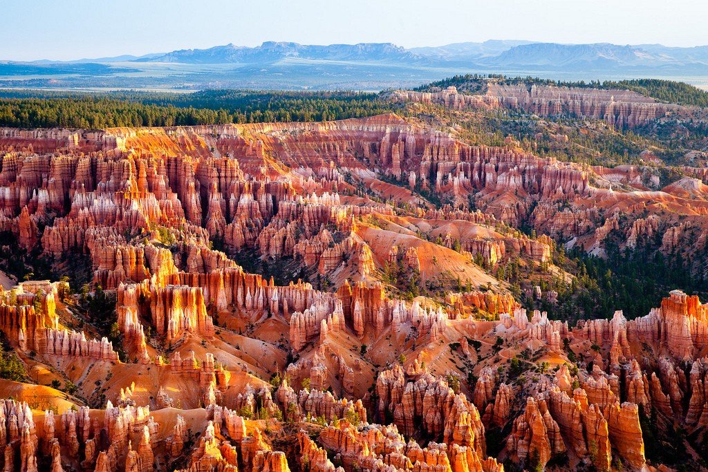
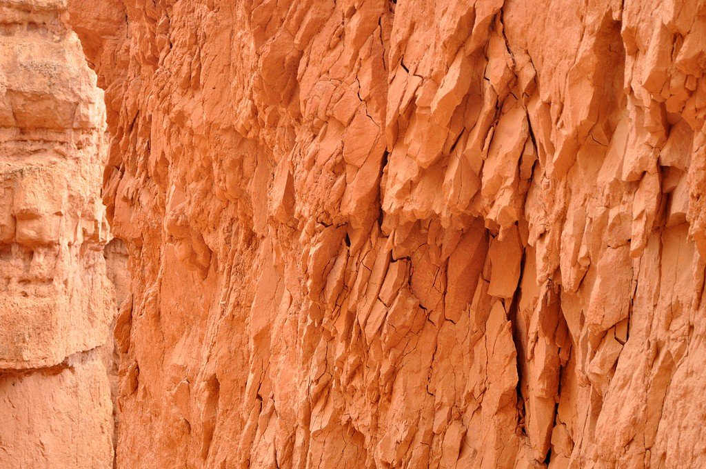
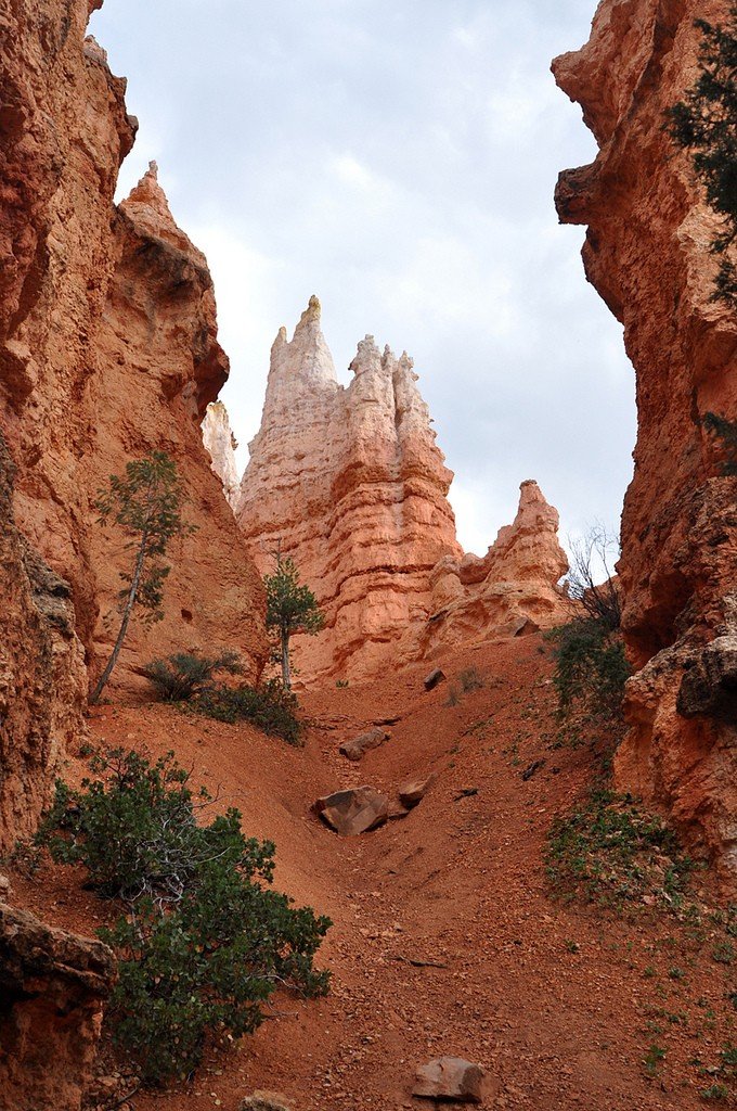
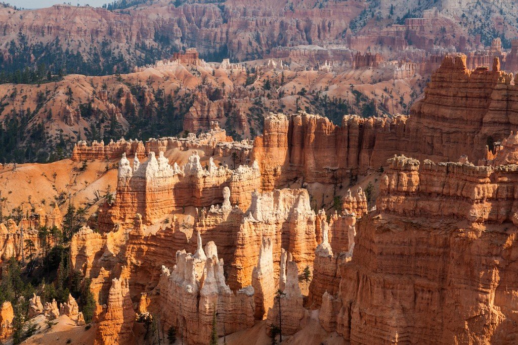
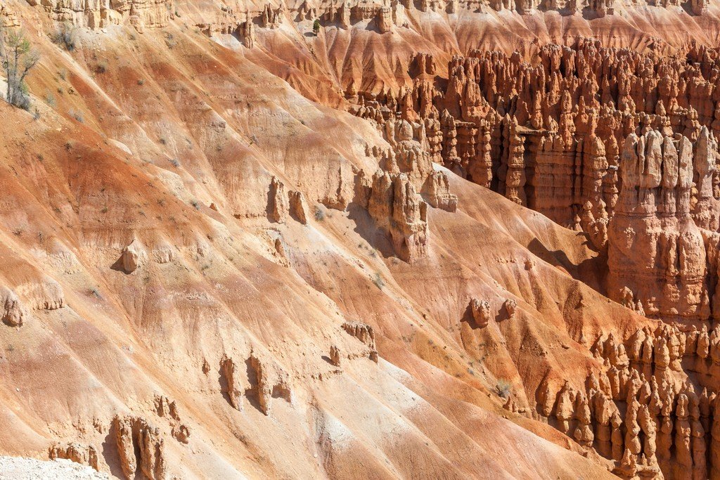
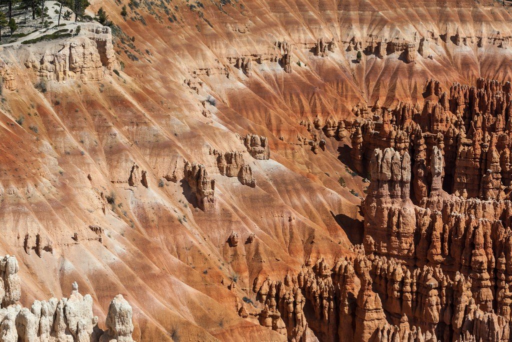
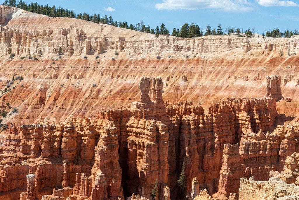
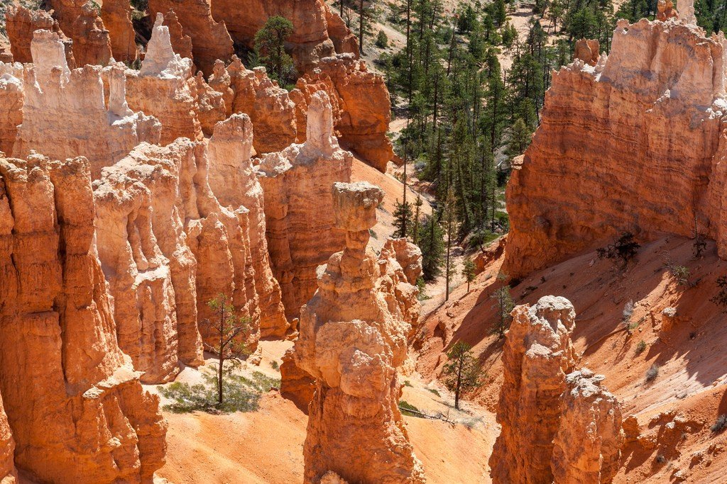
Bryce Canyon is a national park in the United States in southern Utah, north of the Grand Canyon. The park is named after pioneer Mormon rancher Ebeneyzer Bryce (Ebeneyzer Bryce). It became a national park in 1924. Bryce Canyon is world renowned for its unique geology and particularly clean and clear air. Water, ice and limestone have created a grand museum of sculptural and architectural wonders of nature. The canyon’s majestic amphitheater is filled with thousands of turrets, spires called hoodoos, temples and minarets in shades of reddish, pink and cream. All together these unique formations have bizarre shapes, colored with numerous colors, and create an unprecedented, magical landscape.
Video: Bryce Canyon
General Information
As legend has it, a great Native American Spirit, saddened by the excess of evil on Earth, gathered all the unworthy people here and turned them to stone. Whether the Spirit wanted it or not, the spectacle was spectacular.
>
Bryce Canyon, located at an elevation of 2.4-2.7 kilometers, is cool in the summer and offers a strikingly peaceful view in winter under the cover of freshly fallen snow. A scenic 30 km road from the Information Center snakes up to Ewimpa Point, passing 13 viewpoints from where you can admire the canyons of the Colorado River for 160 km around. Although driving your own car is allowed here, free, regularly scheduled buses are suggested for conservation purposes..
Most hikers favor trails such as the Queen’s Garden, Navajo Loop, and Koo-Koo Loop among the day trails at Bryce Amphitheater, where the sophistication of the rock formations is a joy to behold. Try to be in the park at sunset to watch the natural light show within the circus walls, when the red rocks turn reddish yellow and then dark purple.
.A 7-day vehicle pass to Bryce Canyon National Park costs $25, and the Visitor Center is open: 8 a.m.-8 p.m. May-September, 8 a.m.-4:30 p.m. November-March, 8 a.m.-6 p.m. October and April. Website: www.nps.gov/brca
.What to see
Bryce Canyon, the jewel of “Red Mountain Country” will greet you with stone amphitheaters full of fantastic red arches, spires, and hoodoos.
.Pedestal Rocks, or Hoodoos (as they are commonly called), are mysterious figures of soft clay and sandy rock, protected from erosion by stone hats. Hoodoos tend to inhabit excavations that have been washed out and weathered over thousands of years, live in groups, and are always of considerable photographic interest. The best time to photograph them is at dawn or dusk, when the low sunlight adds contrast to the landscape and changes the hues of the rocks in surprising ways. Rome Rock Hoodoos is one such mushrooming area. Sent to the canyon in 1870 by the U.S. government, explorer Clarence Dutton rightly called Bryce Canyon the most outstanding phenomenon that man can see on planet Earth, the tune of “Old turkey buzzard” from the unforgettable western “McKenna’s Gold” will willy-nilly accompany you all the way.
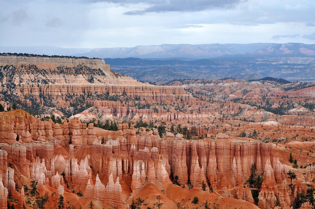
.The first point to visit is Sunset point. From here you have a wonderful view of the amphitheater, Molot Torah and Wall Street Gorge. Further, you can not only view Bryce from above, but you can also go down and walk amongst the enchanting hoodoos.
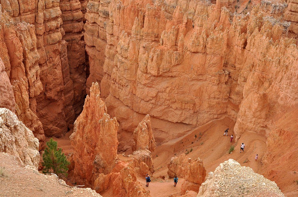
.Ideal for this purpose is the Navajo trail, which connects to the Queen’s Garden trail. It’s best to start on the Navajo trail, as it’s steeper, and on the way back up the gentle Queen’s Garden trail. The walk takes about three hours (1.8 kilometers).
.The Navajo Trail immediately takes a steep incline and snakes you down 158 meters straight into Wall Street Gorge. You feel tiny and lost among the high walls.
.
Yes, be sure to wear special boots before hiking; ankle sprains are the most common injury on this trail.
.Once out of the gorge, you find yourself at the very bottom of Bryce Canyon, where you can admire its walls from below. You will be enveloped by sensations similar to those in a Russian spring forest, when even the air rings with purity. The road will lead you to the Royal Garden trail. The first thing that catches your eye is a huge piece of rock that looks like the sails of a ship. It is directly called: “Sinking ship”. In general, in this place many groups of hoodoos have names associated with the sea: Aquarius plateau (Aquarius plateau), Boat mesa (Boat Mesa), Water canyon (Water canyon), Aqua canyon (Aqua canyon), Piracy point (Pirate’s arrow) and so on.
.
Such a transparent hint that all unusual shapes are chiseled by water. It’s also common to use the word “castle” in the name. For example, Gulliver’s Castle (Gulliver’s Castle) really resembles a huge impregnable fortress, as if surrounded by a powerful palisade. Queen’s Castle has a more elegant and graceful architecture. It is surrounded by stone vases, and the mistress of the castle, Queen Victoria, waits for tired travelers in her garden.
.
This dead-end section of the trail leads to a small picnic area, which you can use for its intended purpose or just relax. Be sure to take advantage of this opportunity, as the climb up will not be easy. But you’ll be rewarded with a great view of the surrounding area, and in especially good weather you can even see the Grand Canyon, 160 miles to the south.
.
The top point of the Royal Garden Trail is called Sunrise point. From there to Sunset point, where you left your car and started your journey, is only a half mile along the crest of the canyon. I can’t say both trails are too difficult, but the climb up requires effort.
.
Inspiration point, which overlooks Silent city, is recommended as the next point to visit. Indeed, the numerous hoodoos below seem to make up the neighborhoods of the abandoned city. The place has amazing acoustics. The voices of the birds that occasionally fly into Silent City can be heard far away and are accompanied by a long echo.
.