Bering Sea
This attraction is related to the countries:RussiaRUSSIA , UNITED STATESBering Sea – (named after the navigator V. Bering), a semi-enclosed sea of the Pacific Ocean between the continents of Asia in the west (Russia), North America in the east (USA), and the Commander Islands (Russia) and Aleutian Islands (USA) in the south. It is closed in the north by the Chukchi and Seward peninsulas.
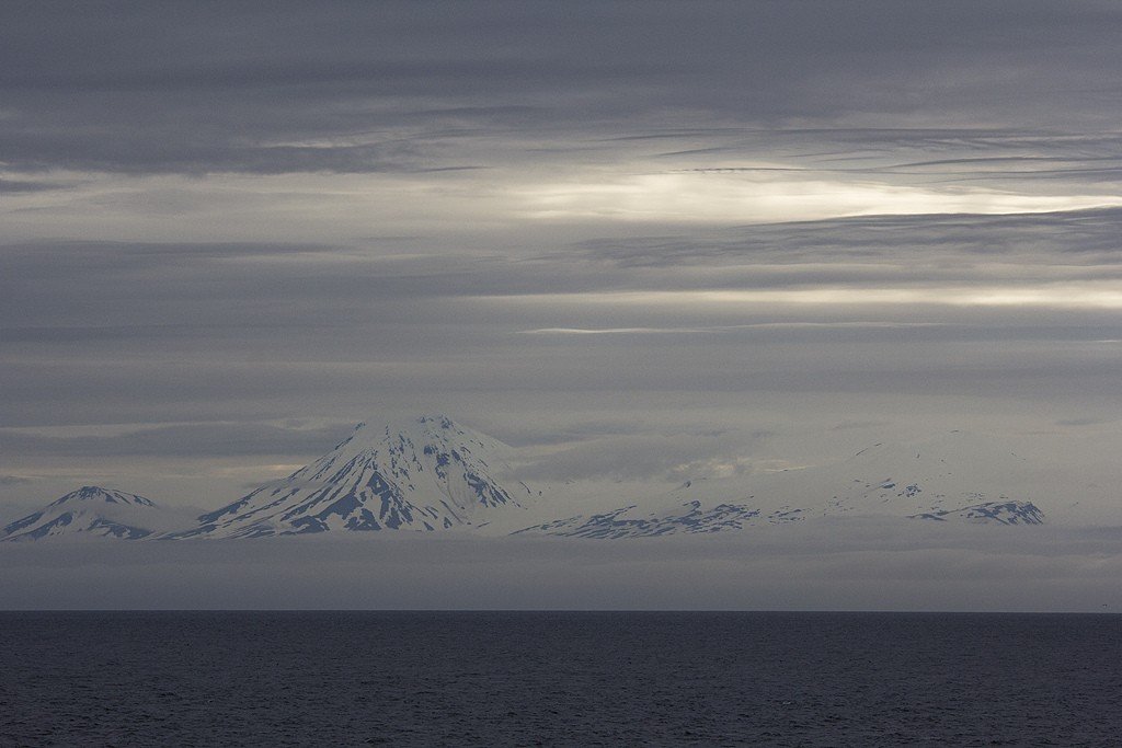
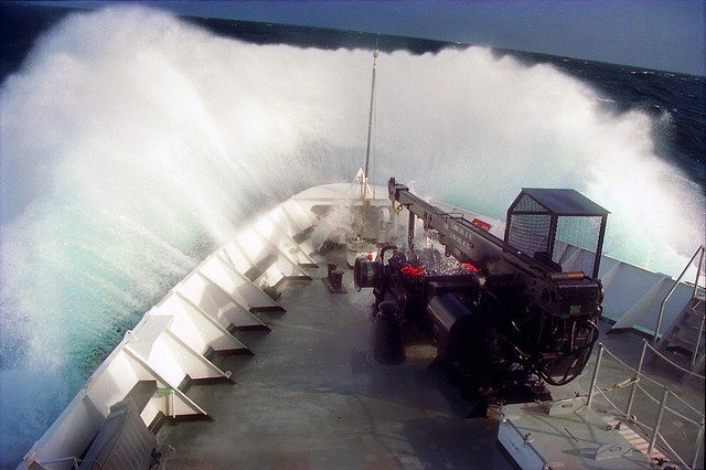
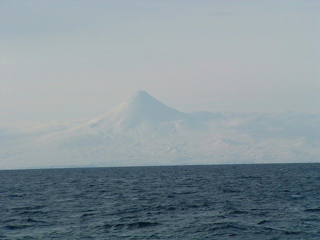
General Information
The Bering Strait connects to the Chukchi Sea of the Arctic Ocean by the Bering Strait Area 2304 thousand km², average depth 1598 m (maximum 4191 m), average water volume 3683 thousand km³, length north-south 1632 km, west-east 2408 km.
.The coasts are predominantly high rocky, strongly indented, forming numerous bays and coves. The largest bays are Anadyrsky and Olyutorsky in the west, and Bristol and Norton in the east. A large number of rivers flow into the Bering Sea, the largest of which are the Anadyr, Apuka in the west, the Yukon, and the Kuskokwim in the east. The islands of the Bering Sea are of continental origin. The largest of these are Karaginsky, St. Lawrence, Nunivak, Nunivak, Pribylova, and St. Matvei.
.
The Bering Sea is the largest of the geosynclinal seas of the Far East. The bottom relief distinguishes the continental shelf (45% of the area), the continental slope, submarine ridges and the deep-water depression (36.5% of the area). The shelf occupies the northern and northeastern parts of the sea and is characterized by flat relief complicated by numerous shoals, hollows, flooded valleys and headwaters of submarine canyons. Sediments on the shelf are predominantly terrigenous (sands, sandy silts, near the coast – coarse clastic).
.
The continental slope is mostly steep (8-15°), dissected by underwater canyons, often complicated by steps; south of the Pribylov Islands – more gentle and wide. The continental slope of Bristol Bay is complexly dissected by scarps, elevations, and depressions, which is associated with intensive tectonic crushing. The sediments of the continental slope are predominantly terrigenous (sandy silts), numerous outcrops of bedrock Paleogene and Neogene-Quaternary rocks; in the Bristol Bay area – a large admixture of volcanogenic material.
.The Shirshov and Bowers submarine ridges are vaulted uplifts with volcanic forms. Outcrops of diorites are found on the Bowers Ridge, which, along with its arc-shaped outline, brings it closer to the Aleutian Island Arc. The Shirshov Ridge has a similar structure to the Olyutorskiy Ridge, composed of volcanogenic and flysch rocks of the Cretaceous period.
.
The Shirshov and Bowers submarine ridges divide the deep-water depression of the Bering Sea. Aleutian or Central Basin (maximum depth 3782 m), Bowers Basin (4097 m), and Commander Basin (3597 m) to the west. The bottom of the basins is a flat abyssal plain composed of diatom silt from the surface, near the Aleutian arc – with a noticeable admixture of volcanogenic material. According to geophysical data, the thickness of the sedimentary layer in the deep-water basins reaches 2.5 km; beneath it lies a basalt layer about 6 km thick. The deep-water part of the Bering Sea is characterized by a suboceanic type of the Earth’s crust.
.
The climate is formed under the influence of the adjacent land, the proximity of the polar basin in the north and the open Pacific Ocean in the south and, accordingly, developing over them centers of atmospheric action. The climate of the northern part of the sea is arctic and subarctic, with pronounced continental features; that of the southern part is temperate, maritime. In winter, under the influence of the Aleutian minimum air pressure (998 mbar), a cyclonic circulation develops over the Bering Sea, due to which the eastern part of the sea, where air from the Pacific Ocean is brought, is somewhat warmer than the western part, which is under the influence of cold Arctic air (which arrives with the winter monsoon). Storms are frequent during this season, and their frequency in some places reaches 47% per month. The average air temperature in February varies from -23°C in the north to -4°C in the south. In summer, the Aleutian Minimum disappears and the Bering Sea is dominated by southerly winds, which in the western part of the sea are the summer monsoon. Storms are rare in summer. The average air temperature in August varies from 5°C in the north to 10°C in the south. The average annual cloudiness is 5-7 in the north and 7-8 in the south. Precipitation varies from 200-400 mm per year in the north to 1500 mm per year in the south.
.The hydrological regime is determined by climatic conditions, water exchange with the Chukchi Sea and the Pacific Ocean, mainland runoff and the distribution of surface waters of the sea during the melting of ice. Surface currents form a counterclockwise circulation, along the eastern periphery of which warm water from the Pacific Ocean – the Bering Sea branch of the Kuroshio warm current system – flows northward. Part of this water enters the Chukchi Sea through the Bering Strait, while the other part diverges to the west and further follows southward along the Asian coast, receiving cold water from the Chukchi Sea. The southern stream forms the Kamchatka Current, which carries the waters of the Bering Sea to the Pacific Ocean. This flow pattern is subject to marked changes depending on the prevailing winds. The tides of the Bering Sea are mainly caused by tidal wave propagation from the Pacific Ocean. In the western part of the sea (up to 62° N latitude) the highest tidal height is 2.4 m, in Cross Bay 3 m, and in the eastern part 6.4 m (Bristol Bay). Surface water temperature in February reaches 2°C only in the south and south-west, in the rest of the sea below -1°C. In August, temperatures rise to 5°-6°C in the north and 9°-10°C in the south. Salinity under the influence of river water and ice melt is much lower than in the ocean and equals 32.0-32.5‰, and in the south reaches 33‰. In coastal areas it decreases to 28-30‰. In the subsurface layer in the northern part of the Bering Sea, the temperature is -1.7°C and salinity is up to 33‰. In the southern part of the sea at a depth of 150 m the temperature is 1.7°C, salinity 33.3‰ and more, and in the layer from 400 to 800 m respectively more than 3.4°C and more than 34.2‰. Near the bottom, the temperature is 1.6°C, salinity 34.6‰.
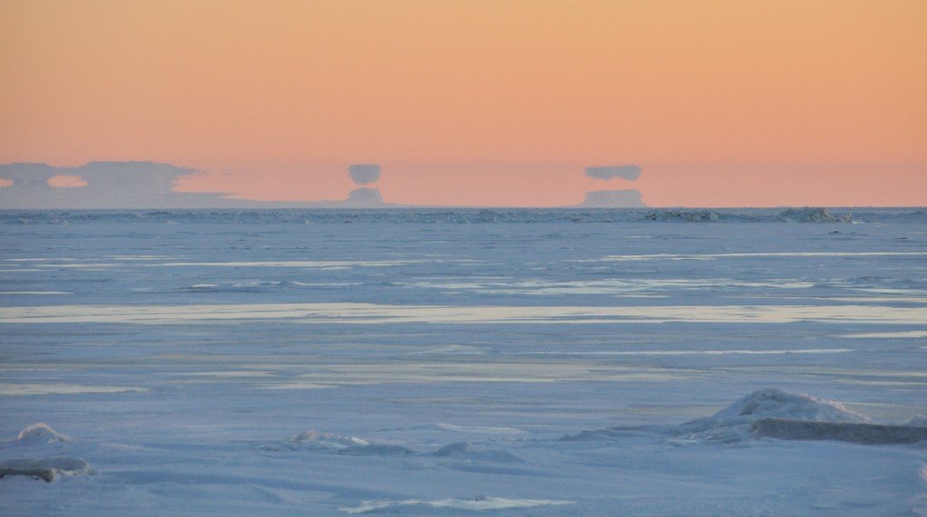
.For most of the year, the Bering Sea is covered with floating ice, which in the north begins to form in September – October. In February – March, almost the entire surface is covered with ice, which is carried along the Kamchatka Peninsula to the Pacific Ocean. The Bering Sea is characterized by the phenomenon of “sea glow.”
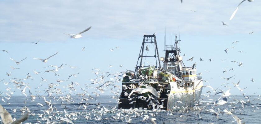
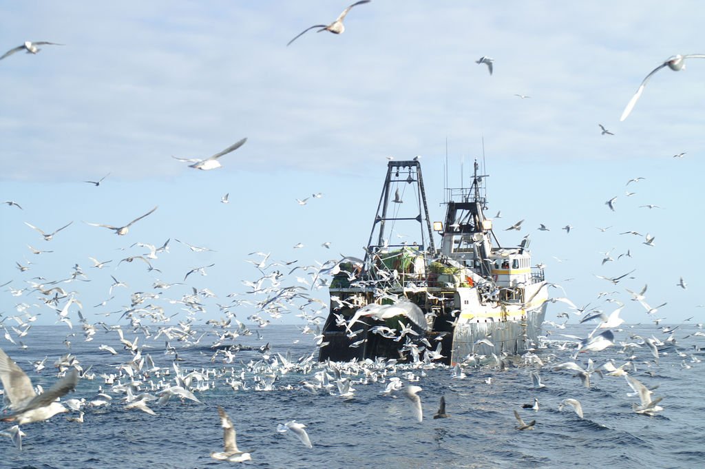
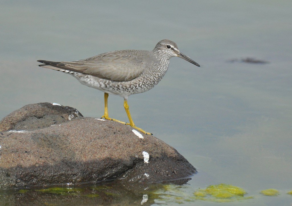
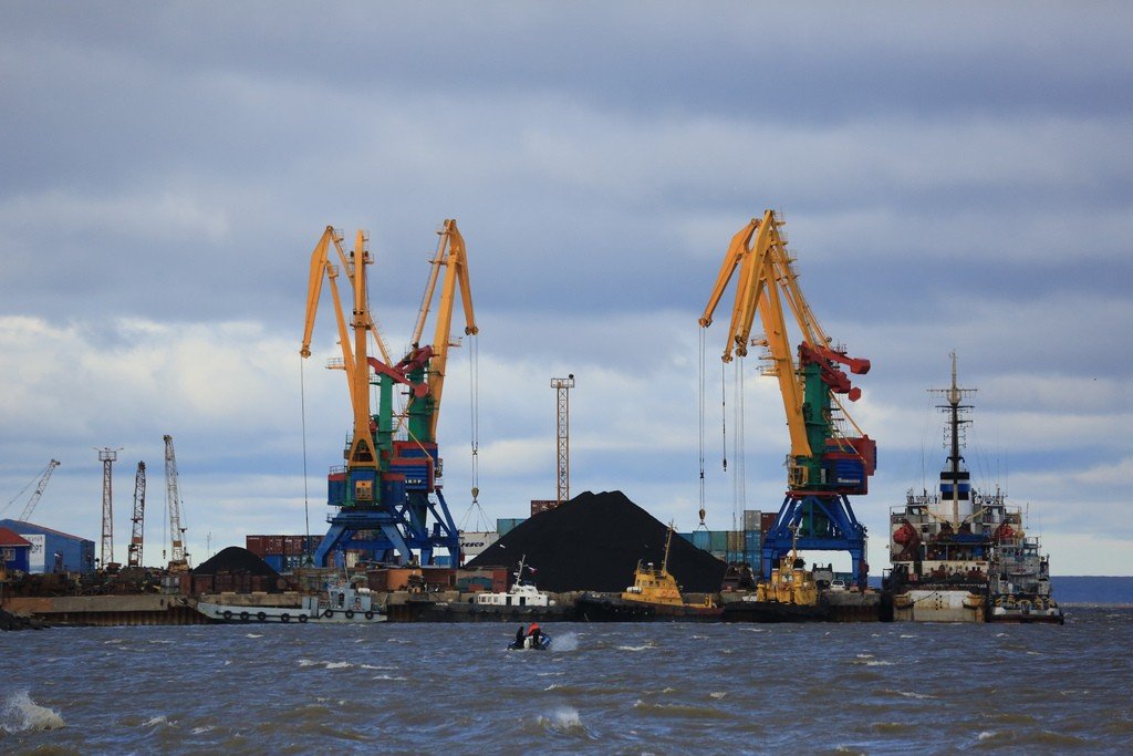
In accordance with the difference in hydrological conditions of the northern and southern parts of the Bering Sea, the northern part is characterized by representatives of Arctic forms of plant and animal life, while the southern part is characterized by boreal forms. There are 240 species of fish in the southern part of the Bering Sea, of which flounder (plaice, halibut) and salmon (pink salmon, chum salmon, chinook salmon) are especially abundant. Mussels, balanus, polychaete worms, bryozoans, octopuses, crabs, shrimps, etc. are numerous. In the north there are 60 species of fish, mainly cod fish. Among mammals, the Bering Sea is characterized by the harbor seal, harbor seal, seals, lahtak, larga, Steller sea lion, gray whale, humpback, sperm whale, etc. The fauna of birds is abundant. The bird fauna is abundant (kaira, teal, puffins, axe-billed gulls, sea gulls, etc.) inhabiting “bird markets”. In the Bering Sea there is intensive whaling, mainly of sperm whales, fishing and sea animals (seals, sea lions, calans, seals, etc.). The Bering Sea is of great transportation importance for Russia as a link of the Northern Sea Route. The main ports are Provideniya (Russia), Nome (USA).
.