Baltic Sea
This attraction is related to the countries:RussiaRussia , GermanyRussia , DenmarkLatviaLithuaniaPolandFinlandSwedenEstoniaThe Baltic Sea (from antiquity until the 18th century in Russia it was known as the “Varangian Sea”) is an inland marginal sea deep into the mainland. The Baltic Sea is located in northern Europe and belongs to the Atlantic Ocean basin.
General information
The Baltic Sea is connected to the North Sea by the Eresund (Zund), Great and Small Belt, Kattegat and Skagerrak straits. It washes the coasts of Russia, Estonia, Latvia, Lithuania, Poland, Germany, Denmark, Sweden, and Finland.
>
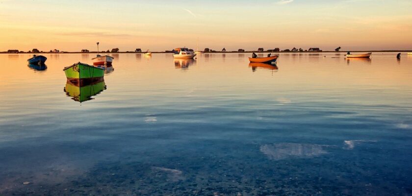
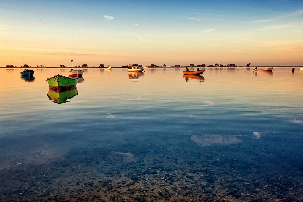
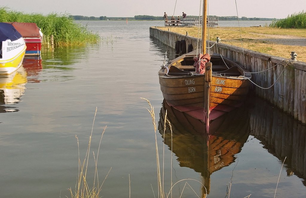
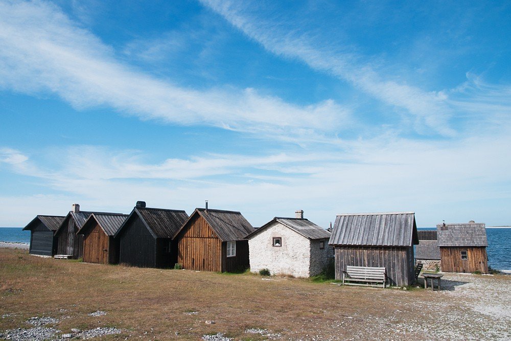
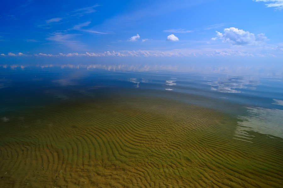
The maritime border of the Baltic Sea runs along the southern entrances of the Eresund, Great and Little Belt straits. It covers an area of 386,000 km². The average depth is 71 meters. The shores of the Baltic Sea in the south and south-east are mostly lowland, sandy, lagoon type; on the land side there are dunes covered with forest, on the sea side there are sandy and pebble beaches. In the north the coasts are high, rocky, mainly of skerries type. The coastline is strongly indented, forming numerous bays and coves.
.The largest bays are the Gulf of Bothnia (by physiographic conditions it is a sea), the Gulf of Finland, the Gulf of Riga, the Curonian Bay, the Bay of Gdansk, the Bay of Szczecin, etc.
.The islands of the Baltic Sea are of mainland origin. There are many small rocky islands – skerries, located along the northern shores and concentrated in the groups of Vasia and Åland islands. The largest islands are Gotland, Bornholm, Sarema, Muhu, Hiuma, Eland, Rügen and others. A large number of rivers flow into the Baltic Sea, the largest of which are the Neva, Western Dvina, Niemen, Vistula, Odra, etc.
.The Baltic Sea is a shallow shelf sea. Depths of 40-100 meters prevail. The shallowest areas are the Kattegat Straits (average depth 28 m), Eresund, the Great and Little Beltes, the eastern parts of the Gulf of Finland and the Gulf of Bothnia, and the Gulf of Riga. These areas of the seabed have a leveled accumulative relief and a well-developed cover of loose sediments. The most part of the Baltic Sea bottom is characterized by strongly dissected relief, there are relatively deep basins: Gotland (249 m), Bornholm (96 m), in the Södra-Kvarken Strait (244 m) and the deepest one – Landsortsjupet south of Stockholm (459 m). There are numerous rock ridges, in the central part of the sea there are traced ledges – extensions of Cambrian-Ordovician (from the northern coast of Estonia to the northern tip of Eland Island) and Silurian glints, underwater valleys, glacial-accumulative landforms flooded by the sea.
.The Baltic Sea occupies a depression of tectonic origin, which is a structural element of the Baltic Shield and its slope. According to modern ideas, the main irregularities of the sea floor are caused by block tectonics and structural-denudation processes. The latter, in particular, are responsible for the origin of underwater clay ledges. The northern part of the sea floor is composed mainly of Precambrian rocks overlain by an intermittent cover of glacial and recent marine sediments.
.
In the central part of the sea bottom is composed of Silurian and Devonian rocks, hiding to the south under the thickness of glacial and marine sediments of considerable thickness.
.The presence of submarine river valleys and the absence of marine sediments beneath the glacial sediments indicate that in pre-glacial times the Baltic Sea was a landmass. During at least the last glacial epoch, the Baltic Sea basin was completely occupied by ice. It was only about 13,000 years ago that a connection with the ocean occurred and sea water filled the depression; the Joldian Sea (after the mollusk Joldia) was formed. The phase of the Ioldian Sea was preceded somewhat earlier (15,000 years ago) by the phase of the Baltic Glacial Lake, which had not yet communicated with the sea. About 9,000-7,500 years ago, as a result of tectonic uplift in Central Sweden, the connection between the Joldia Sea and the ocean ceased and the Baltic Sea became a lake again. This phase of the Baltic Sea’s development is known as Ancylus Lake (after the mollusk Ancylus). A new sinking of the land in the area of the present-day Danish Straits, which occurred about 7,000-7,500 years ago, and an extensive transgression led to a renewed connection with the ocean and the formation of the Littorine Sea. The level of the latter sea was several meters higher than today’s sea level and the salinity was greater. Deposits of the Littorina transgression are widely known on the modern Baltic Sea coast. Centuries of uplift in the northern part of the Baltic Sea basin continues now, reaching 1 m in a hundred years in the northern Gulf of Bothnia and gradually decreasing to the south.
.
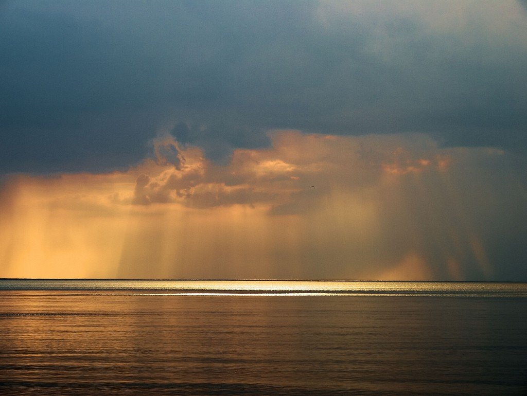
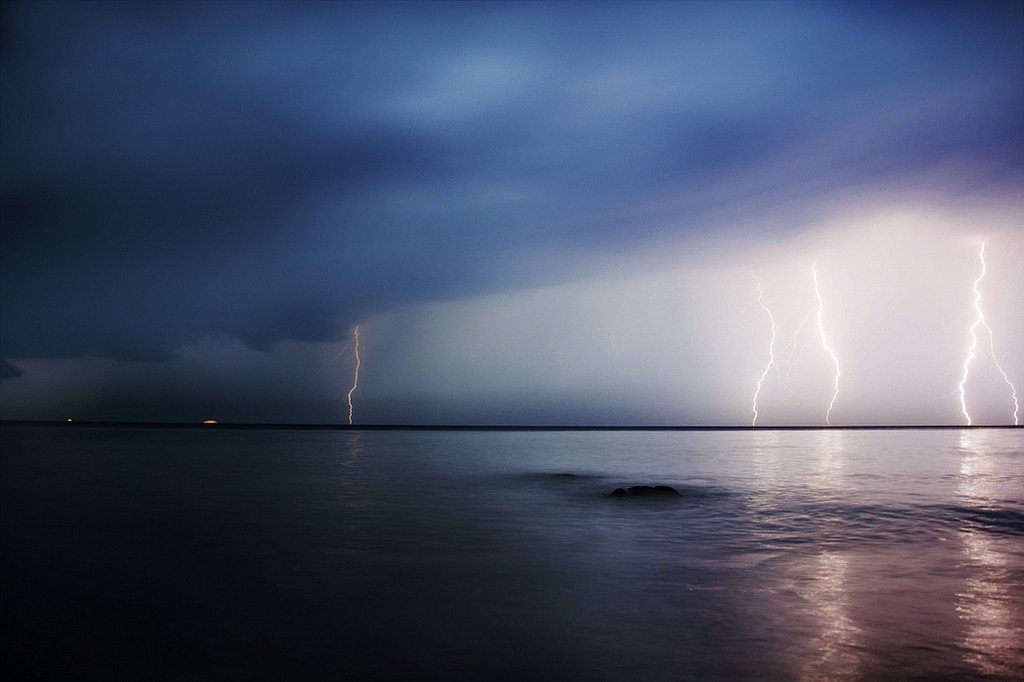
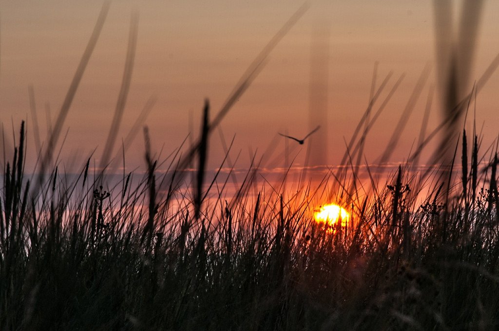
The climate of the Baltic Sea is maritime temperate, strongly influenced by the Atlantic Ocean. It is characterized by relatively small annual temperature fluctuations, frequent precipitation, fairly evenly distributed throughout the year, and fog in the cold and transitional seasons. Westerly winds prevail throughout the year and are associated with cyclones coming from the Atlantic Ocean. Cyclonic activity reaches its greatest intensity during the fall and winter months. At this time cyclones are accompanied by strong winds, frequent storms and cause large rises in water levels near the coast. In the summer months cyclones weaken and their frequency of occurrence decreases. The invasion of anticyclones is accompanied by winds of easterly directions.
.The 12° meridian spread of the Baltic Sea determines noticeable differences in climatic conditions of its individual regions. The average air temperature in the southern part of the Baltic Sea is -1.1°C in January and 17.5°C in July; in the middle part it is -2.3°C in January and 16.5°C in July; in the Gulf of Finland it is -5°C in January and 17°C in July; in the northern part of the Gulf of Bothnia it is -10.3°C in January and 15.6°C in July. Cloudiness is about 60% in summer and more than 80% in winter. Average annual precipitation in the north is about 500 mm, in the south over 600 mm, and in some areas up to 1000 mm. The highest number of days with fog falls on the southern and middle part of the Baltic Sea, where it averages up to 59 days per year, the lowest – in the north. Gulf of Bothnia (up to 22 days per year).
.The hydrological conditions of the Baltic Sea are mainly determined by its climate, freshwater surplus and water exchange with the North Sea. The surplus of fresh water, equal to 472 km3 per year, is generated by mainland runoff. The amount of water supplied in precipitation (172.0 km³ per year) is equal to evaporation. Water exchange with the North Sea averages 1659 km3 per year (salt water 1187 km³ per year, fresh water 472 km³ per year). Fresh water flows out of the Baltic Sea into the North Sea by runoff currents, while salt water flows through the straits from the North Sea into the Baltic Sea by deep currents. Strong westerly winds usually cause an inflow and easterly winds usually cause an outflow of water from the Baltic Sea through all sections of the Eresund, Great and Little Belt straits.
.
The currents of the Baltic Sea form a counterclockwise circulation. Along the southern shore the current is eastward, along the eastern shore northward, along the western shore southward and at the northern shore westward. The speed of these currents varies from 5 to 20 m/sec. Under the influence of winds, the currents can change direction and their speed near the coast can reach 80 cm/sec and more, and in the open part – 30 cm/sec.
.The surface water temperature in August is 15°C, 17°C in the Gulf of Finland; 9°C, 13°C in the Gulf of Bothnia and 14°C, 18°C in the central part of the sea, reaching 20°C in the south. In February-March the temperature in the open sea is 1°C-3°C, in the Gulf of Bothnia, Gulf of Finland, Gulf of Riga and other bays and inlets it is below 0°C. Surface water salinity decreases rapidly with distance from the straits from 11‰ to 6-8‰ (1‰-0.1%) in the central part of the sea. In the Gulf of Bothnia it is 4-5‰ (2‰ on the N. of the bay), in the Gulf of Finland 3-6‰ (2‰ or less at the top of the bay). In the deep and bottom water layers the temperature is 5°C and more, salinity varies from 16‰ in the W. to 12-13‰ in the central part and 10‰ in the north of the sea. In years of increasing water inflow, salinity rises in the W. to 20‰, in the central part of the sea to 14-15‰, and in years of decreasing inflow it falls in the middle parts of the sea to 11‰.
.
Ice appears usually in early November to the north of the Gulf of Bothnia and reaches its greatest spread in early March. At this time, a significant part of the Gulf of Riga, Gulf of Finland and Gulf of Bothnia is covered by fixed ice. The central part of the sea is usually ice-free.
.The amount of ice in the Baltic Sea varies from year to year. In exceptionally harsh winters almost the entire sea is covered with ice, in mild winters only the bays are covered with ice. The northern part of the Gulf of Bothnia is covered with ice 210 days a year, the middle part – 185 days; the Gulf of Riga – 80-90 days, the Danish straits – 16-45 days.
.The level of the Baltic Sea is subject to fluctuations due to changes in wind direction, atmospheric pressure (progressively standing long waves, seiches), inflow of river water and waters of the North Sea. The period of these changes varies from several hours to several days. Rapidly changing cyclones cause level fluctuations up to 0.5 m and more at the shores of the open sea and up to 1.5-3 m at the tops of bays and gulfs. Especially large water rises, which are, as a rule, a consequence of wind surge superimposed on the crest of a long wave, occur in the Nevskaya Bay. The largest water rise in Leningrad was recorded in November 1824 (about 410 cm) and in September 1924 (369 cm).
.Level fluctuations associated with tides are extremely small. The tides have an irregular semi-diurnal, irregular diurnal and diurnal character. Their size varies from 4 cm (Klaipeda) to 10 cm (Gulf of Finland).
.
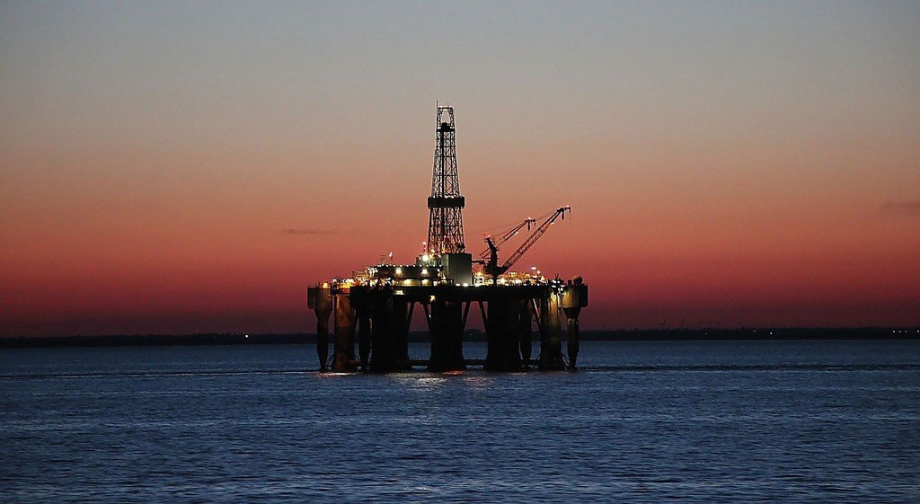
The fauna of the Baltic Sea is poor in species but rich in quantity. The Baltic Sea is home to the brackish-water race of Atlantic herring (herring), Baltic sprat, as well as cod, flounder, salmon, eel, smelt, ripple, whitefish, and perch. Among mammals there is the Baltic seal. There is an intensive fishery in the Baltic Sea.
.
Russian hydrographic and cartographic work began in the Gulf of Finland in the early 18th century. In 1738 F. I. Soimonov published an atlas of the Baltic Sea, compiled from Russian and foreign sources. In the middle of the 18th century, A. I. Nagaev carried out long-term studies in the Baltic Sea and compiled a detailed lotiya. The first deep-water hydrological studies in the mid-1880s were carried out by S. O. Makarov. Since 1920 hydrological works were carried out by the Hydrographic Administration, the State Hydrological Institute, and after the Patriotic War of 1941-45 extensive complex studies were deployed under the direction of the Leningrad branch of the State Oceanographic Institute of the USSR.
.