Canals of Amsterdam
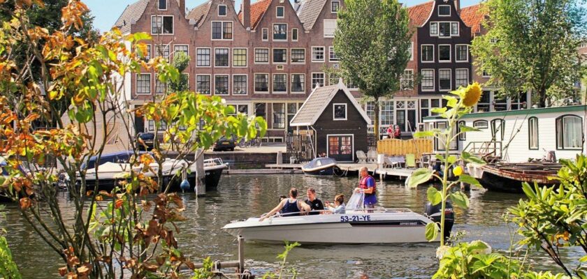
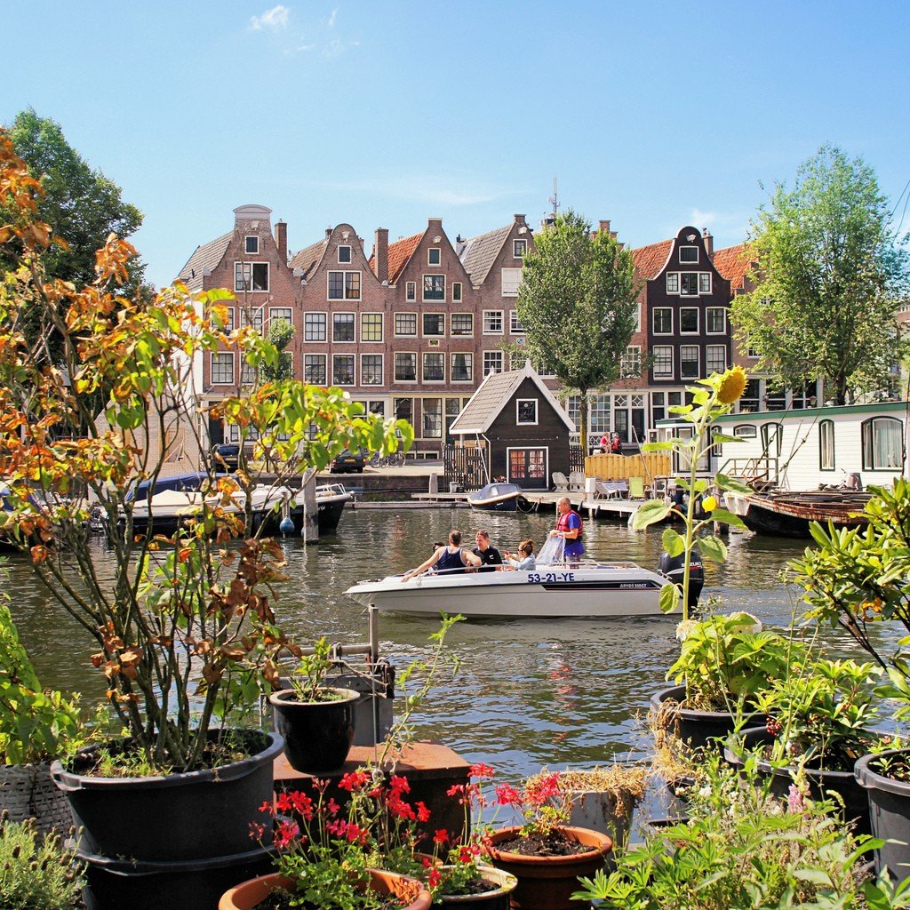
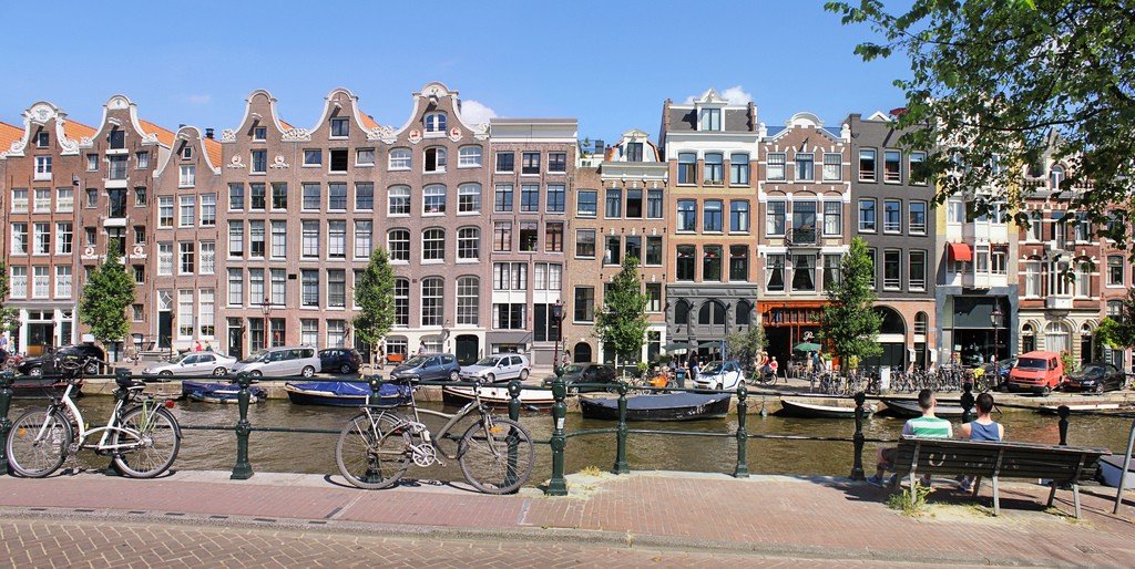
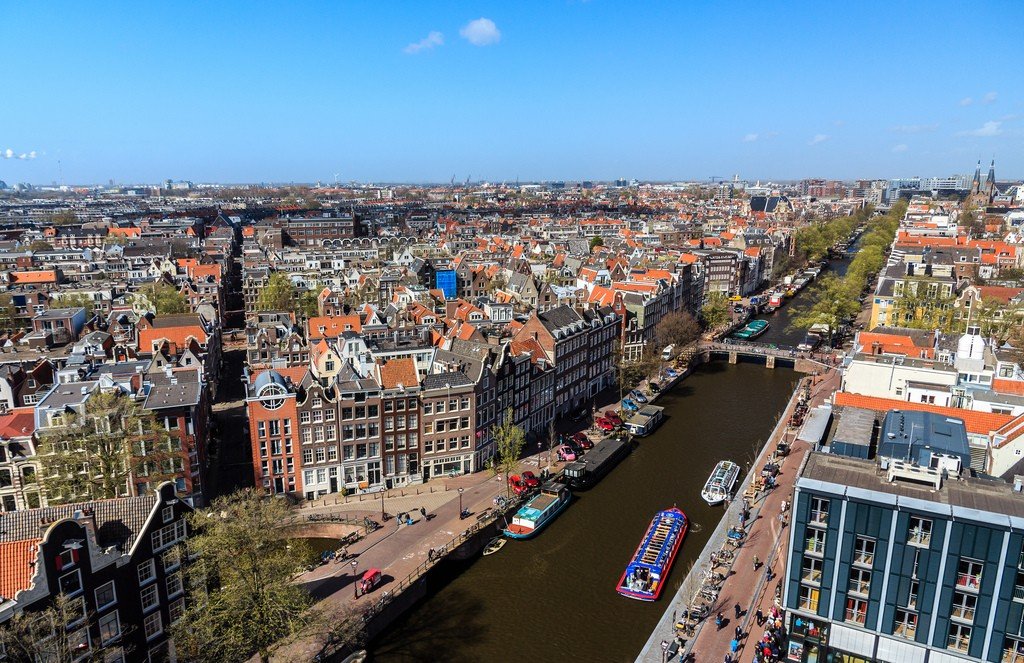
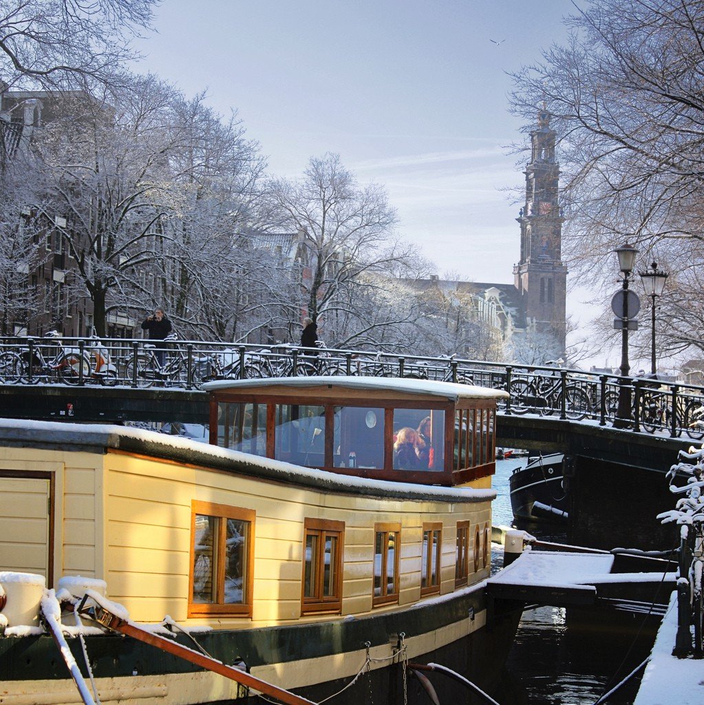
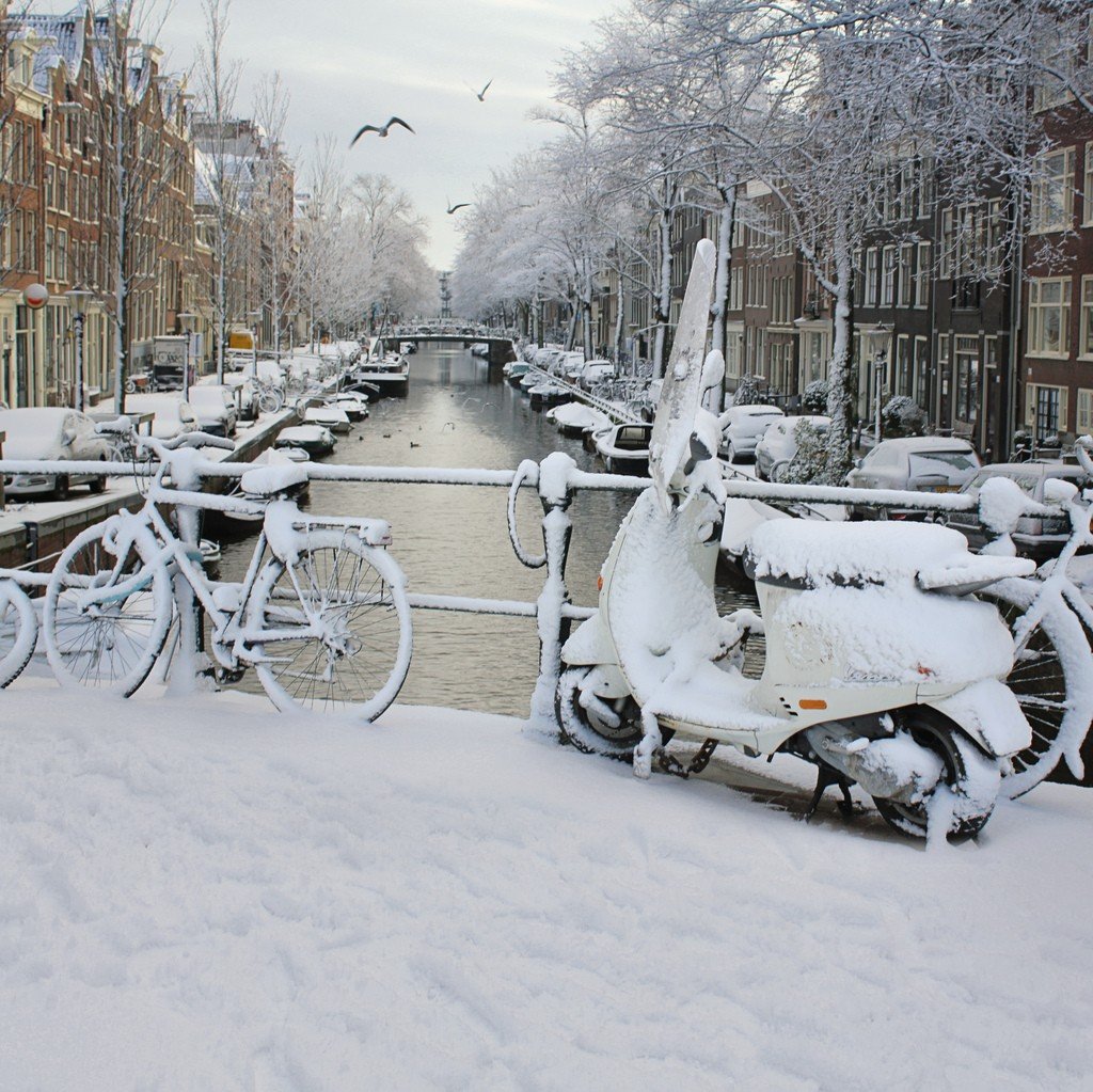
Canals of Amsterdam is the city’s calling card, representing the chain of waterways formed by the Amstel River. The creation of this extensive thoroughfare began when the architect Hendrik van Keisker presented his famous “Plan of the Three Canals” in 1658. Then residential buildings and multi-storey warehouses were built on them. In our Amsterdam counts already much more canals – 165, the total length of which is about 75 kilometers. These canals form four concentric semicircles, girdling the city.Through these urban waterways over 1500 bridges. All this has given the city another title – “Venice of the North”. Amsterdam’s canal system is a UNESCO World Heritage Site.
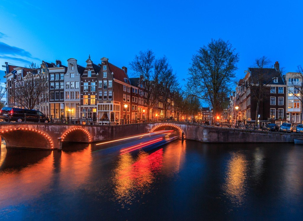
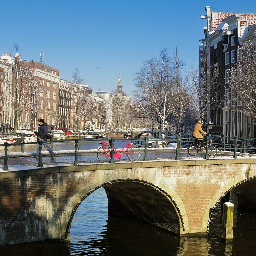
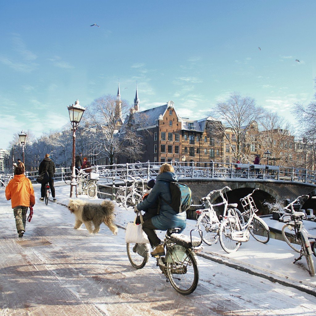
.Because of the many canals in the city, the preferred mode of transportation is by water, or by bicycle for a more convenient way to get around the bridges. If you come on vacation to Amsterdam, be sure to take canal tours. Especially beautiful picture of the canals is presented at night, when the waterways are wonderfully illuminated by thousands of orange-colored lights. A night trip along the canals of Amsterdam is an unforgettable experience for every tourist. Night canals are also one of the favorite photo motifs of the Dutch capital.
Amsterdam’s main canals
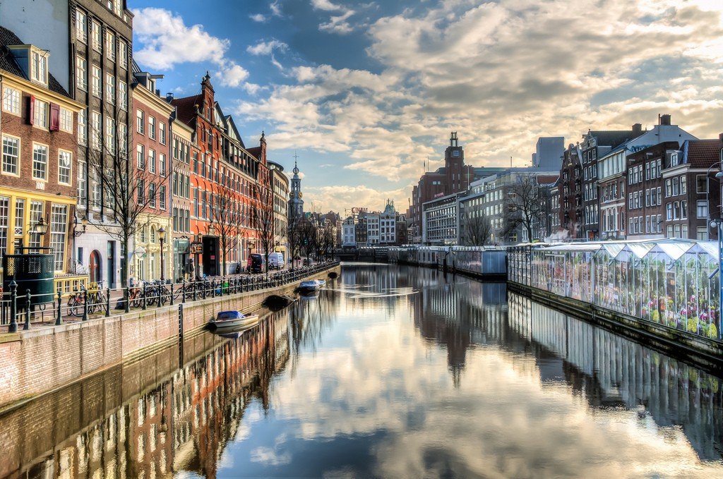
Amsterdam’s main canals are Singel, Herengracht, Keizersgracht, Prinsengracht.
Singel CanalThe canal begins in Amsterdam Bay near Central Station and flows into the Amstel River near Muntplein Square. It is one of several major circular canals ringing the city. The Singel Canal should not be confused with the Singelgracht Canal, which only became the city’s outer boundary in the 17th century.
.The Singel was originally dug as a city ditch between 1428 and 1450, and for a time was called Steidegracht. As the city grew, especially with the expansion of building in 1585, Singel became one of its inner canals. In the 17th century, the canal was called Koningsgracht in honor of the French king Henry IV.
.Herengracht Canal
The Heerengracht is the second among Amsterdam’s four main canals. Construction of the three new central canals began in 1612 on the initiative of the city’s mayor Frans Hendriksson Utgens and according to the drawings of the city carpenter Hendrik Jakobszon Staats and the city surveyor Lukas Janszon Sink. The canals only went as far as the Leidsegracht – only in 1658 they were extended to the Amstel and beyond the Amstel, but beyond the Amstel the canals do not continue to be numbered and are called “new” (Nieuwe Herengracht, Nieuwe Keizersgracht, Nieuwe Prinsengracht). Beyond the Amstel, the “new” canals enter the Jewish Quarter and go almost as far as the zoo.
The Heerengracht is named after the Lord Regents who ruled Amsterdam. Its embankments have two- and three-story mansions with courtyards, and its fashionable part is nicknamed the “Golden Bend” (Dutch: Gouden Bocht).
.Keizersgracht Canal
Translated as “Imperial Canal”. It was named after Emperor Maximilian, Emperor of the Holy Roman Empire.
Prinsengracht Canal
The Prinsengracht is the longest of all Amsterdam’s canals. It is named in honor of Prince William I of Orange. The bridges over this canal do not connect directly to the streets in the Jordan district.
.
Amsterdam Canal Walk
Amsterdam canal boat rides are the most popular tourist attraction. Every year, millions of visitors take excursions by river streetcar or glass-roofed boats. Amsterdam’s canals are 75 kilometers long, but they are hardly used for navigation.
.
Strong waves erode the shores and therefore a speed limit has been imposed on all vessels, so boats travel slowly and are only used for tourist purposes.
.Single trip tickets cost from 10 euros, depending on the route. Audio guides are provided (including in Russian).
